Name/Title
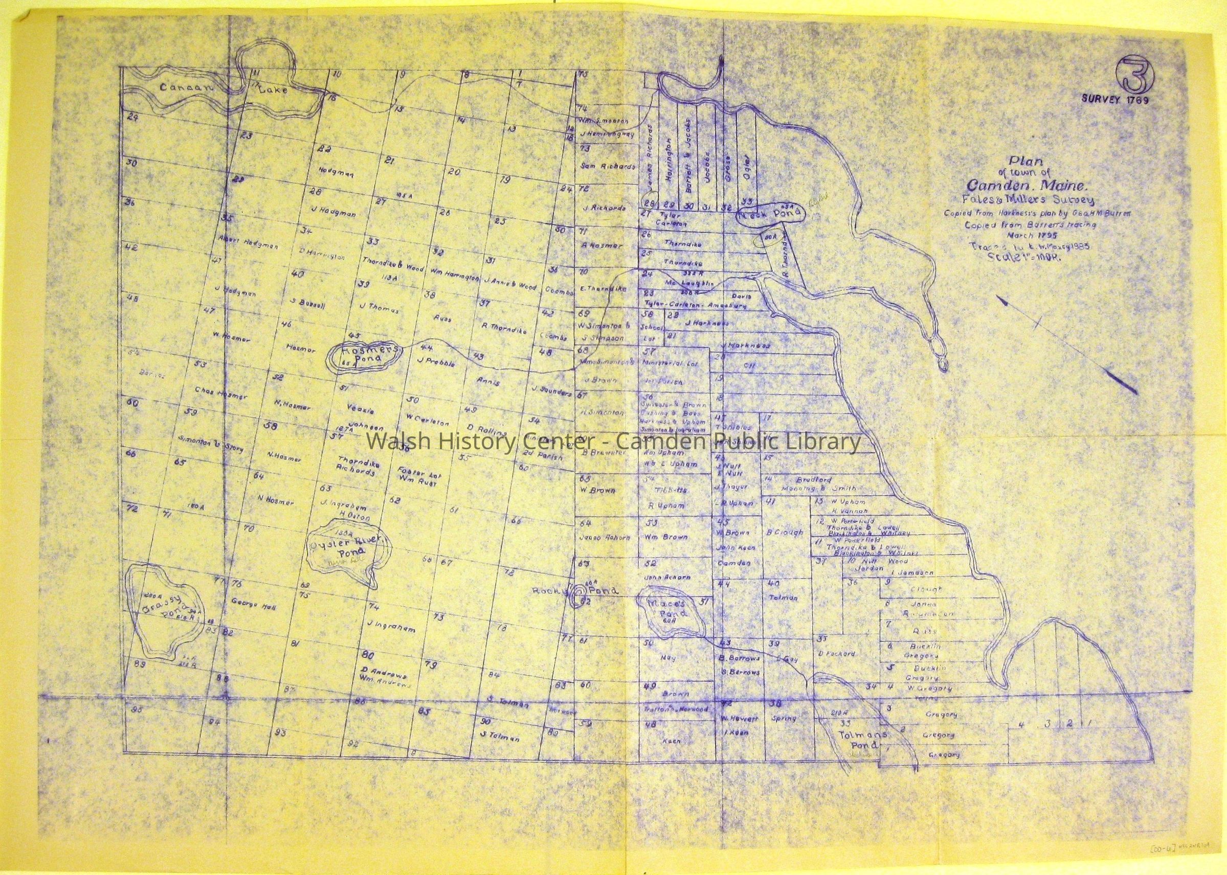
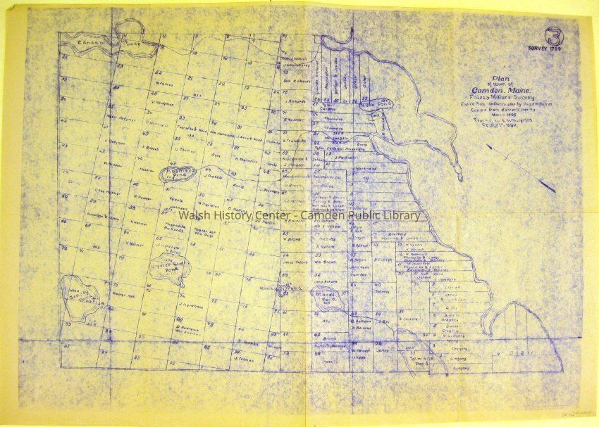
CAMDEN. PLAN OF CAMDEN, MAINE, FALES' AND MILLER'S SURVEY COPIED FROM HARKNESS' PLAN BY GEO. M. BARRETT.Entry/Object ID
WHC 2018.109Scope and Content
CAMDEN. PLAN OF CAMDEN, MAINE, FALES' AND MILLER'S SURVEY COPIED FROM HARKNESS' PLAN BY GEO. M. BARRETT. Copied from Barrett's tracing March
1795. Traced by E. W. Maxcy 1983. Labeled in upper right-hand corner, "3. Survey 1769." Blueprint.Collection
Camden Public Library Map CollectionCataloged By
Wyatt BerryAcquisition
Accession
WHC 2018.109Source or Donor
CPL Map CollectionAcquisition Method
Found in CollectionLexicon
Nomenclature 4.0
Nomenclature Secondary Object Term
MapNomenclature Primary Object Term
CartographNomenclature Sub-Class
Graphic DocumentsNomenclature Class
Documentary ObjectsNomenclature Category
Category 08: Communication ObjectsLOC Thesaurus for Graphic Materials
Blueprints, MapsSearch Terms
PLAN OF CAMDEN, Noah Miller, David Fales, SURVEY, John Harkness, Geo. M. BARRETT, E. W. Maxcy, Blueprint, MapsArchive Details
Date(s) of Creation
1795Archive Size/Extent
21 1/8" X 30 1/4"Location
Location
Cabinet
Map CaseBuilding
Walsh History CenterCategory
PermanentDate
October 21, 2025Category
PermanentMoved By
Wyatt BerryDate
September 21, 2018Inventory
Inventoried By
Wyatt BerryInventoried Date
Sep 21, 2018Relationships
Related Person or Organization
Person or Organization
David FalesPerson or Organization
Noah MillerPerson or Organization
John HarknessPerson or Organization
Geo. M. BarrettPerson or Organization
E. W. MaxcyGeneral Notes
Note
Status: OK
Status By: Wyatt Berry
Status Date: 2018-09-21Created By
admin@catalogit.appCreate Date
September 21, 2018Updated By
admin@catalogit.appUpdate Date
October 27, 2025