Name/Title
A PLAN OF THE TOWN OF SEARSMONT.Entry/Object ID
WHC 2018.119Scope and Content
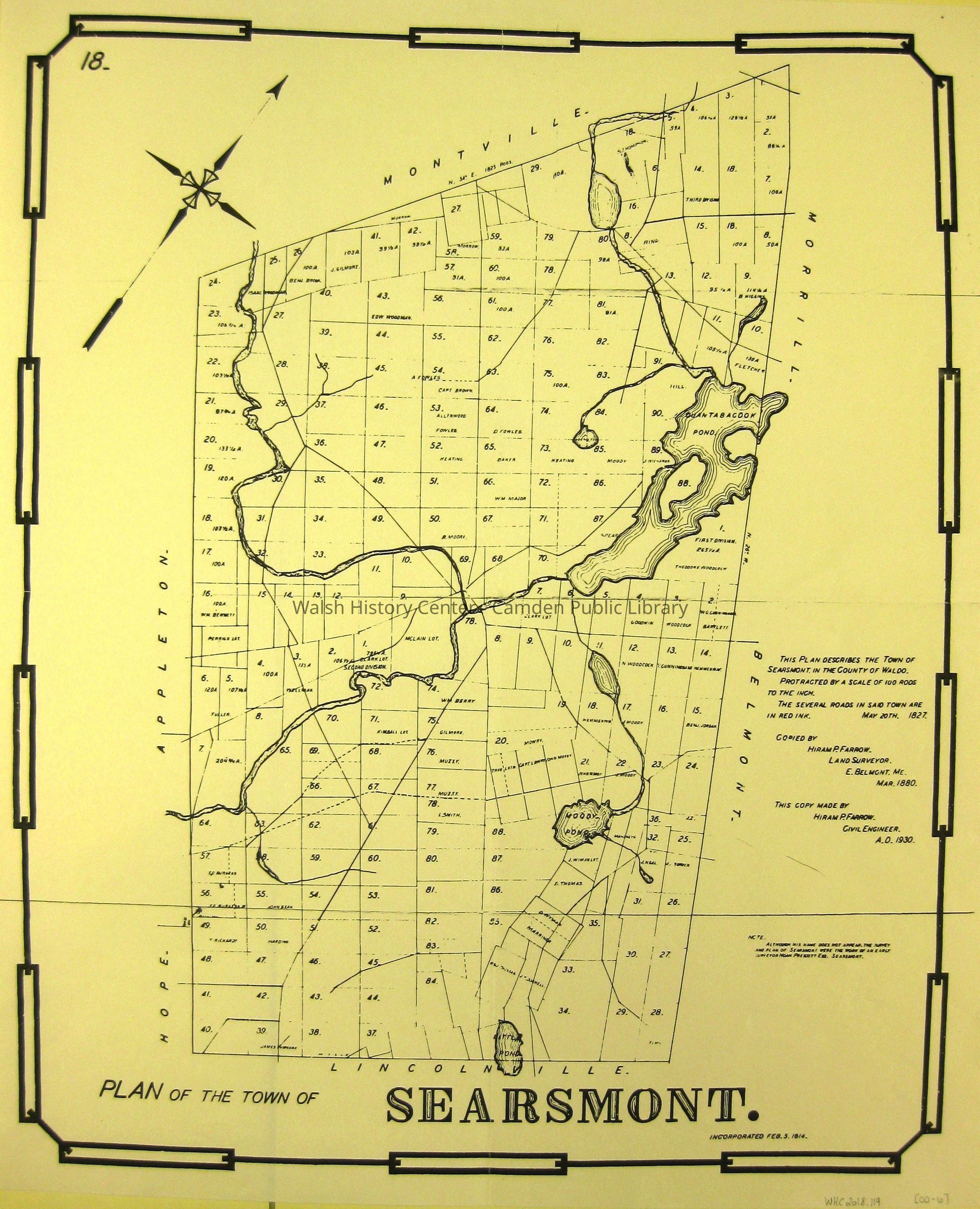
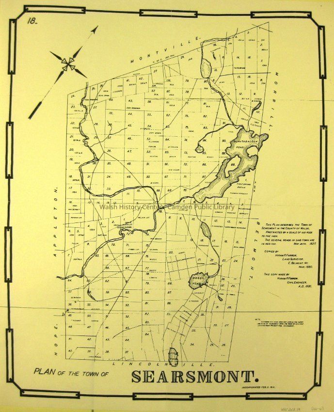
A PLAN OF THE TOWN OF SEARSMONT. This map is a photocopy of the second copy of the original map. The Original was drawn by Noah Prescott on 20 May, 1827. It was first copied by Hiram P. Farrow, Land Surveyor of Belmont in March, 1880, and the second copy was drafted by Hiram Farrow, Civil Engineer, in 1930.
The 1930 copy was one of a set of Waldo County maps drafted for the county. They were bound in what is called "The Red Book." This Searsmont map is number 18 in that book of plans. It and the others in the series are bordered by a stylized "Gunter's Chain" - the traditional surveyor's chain.Collection
Camden Public Library Map CollectionCataloged By
Wyatt BerryAcquisition
Accession
WHC 2018.119Source or Donor
CPL Map CollectionAcquisition Method
Found in CollectionLexicon
Nomenclature 4.0
Nomenclature Secondary Object Term
MapNomenclature Primary Object Term
CartographNomenclature Sub-Class
Graphic DocumentsNomenclature Class
Documentary ObjectsNomenclature Category
Category 08: Communication ObjectsLOC Thesaurus for Graphic Materials
Surveyors, MapsSearch Terms
A PLAN OF THE TOWN OF SEARSMONT, Noah Prescott, Hiram P. Farrow, Surveyor, Belmont, Waldo County, Gunter's Chain, SurveysArchive Details
Date(s) of Creation
1930Archive Size/Extent
17 3/4" X 21 3/4"Location
Location
Cabinet
Map CaseBuilding
Walsh History CenterCategory
PermanentDate
October 21, 2025Category
PermanentMoved By
Wyatt BerryDate
September 21, 2018Inventory
Inventoried By
Wyatt BerryInventoried Date
Sep 21, 2018Relationships
Related Person or Organization
Person or Organization
Noah PrescottPerson or Organization
Hiram P. FarrowGeneral Notes
Note
Status: OK
Status By: Wyatt Berry
Status Date: 2018-09-21Created By
admin@catalogit.appCreate Date
September 21, 2018Updated By
admin@catalogit.appUpdate Date
October 27, 2025