Name/Title
Camden Hills project property map.Entry/Object ID
WHC 2018.141Scope and Content
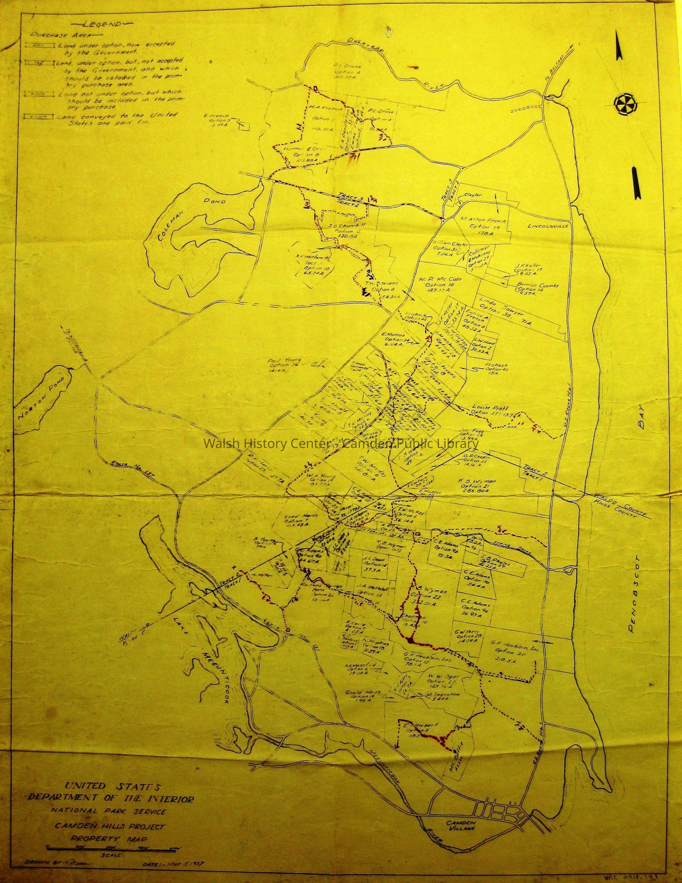
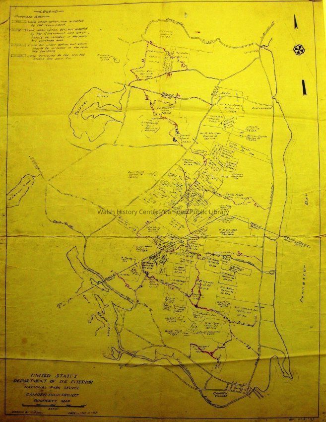
CAMDEN HILLS PROJECT PROPERTY MAP. US Department of the Interior National Park Service. Scale: 1 inch = 1600 feet; scale bar. Drawn by Diane (?). Date: Mar. 5, 1937. Map shows property acquisition option boundaries and owners of parcels to be considered for
inclusion in the future Camden Hills Park. Yellowed black-line diazo map once folded in 8 sections. Extends from Penobscot Bay shore to Lake Megunticook, and from Megunticook River to Ducktrap River.Collection
Camden Public Library Map CollectionCataloged By
Wyatt BerryAcquisition
Accession
WHC 2018.141Source or Donor
CPL Map CollectionAcquisition Method
Found in CollectionLexicon
Nomenclature 4.0
Nomenclature Secondary Object Term
MapNomenclature Primary Object Term
CartographNomenclature Sub-Class
Graphic DocumentsNomenclature Class
Documentary ObjectsNomenclature Category
Category 08: Communication ObjectsLOC Thesaurus for Graphic Materials
MapsSearch Terms
CAMDEN HILLS, PROJECT PROPERTY MAP, US Department of the Interior, National Park Service, Map, Property Acquisition, Camden Hills ParkArchive Details
Date(s) of Creation
1937Archive Size/Extent
21 1/2" X 28 1/8"Condition
Overall Condition
FairDate Examined
Nov 9, 2018Examined By
Wyatt BerryGeneral Notes
Note
Status: OK
Status By: Wyatt Berry
Status Date: 2018-11-09Created By
admin@catalogit.appCreate Date
November 9, 2018Updated By
admin@catalogit.appUpdate Date
October 27, 2025