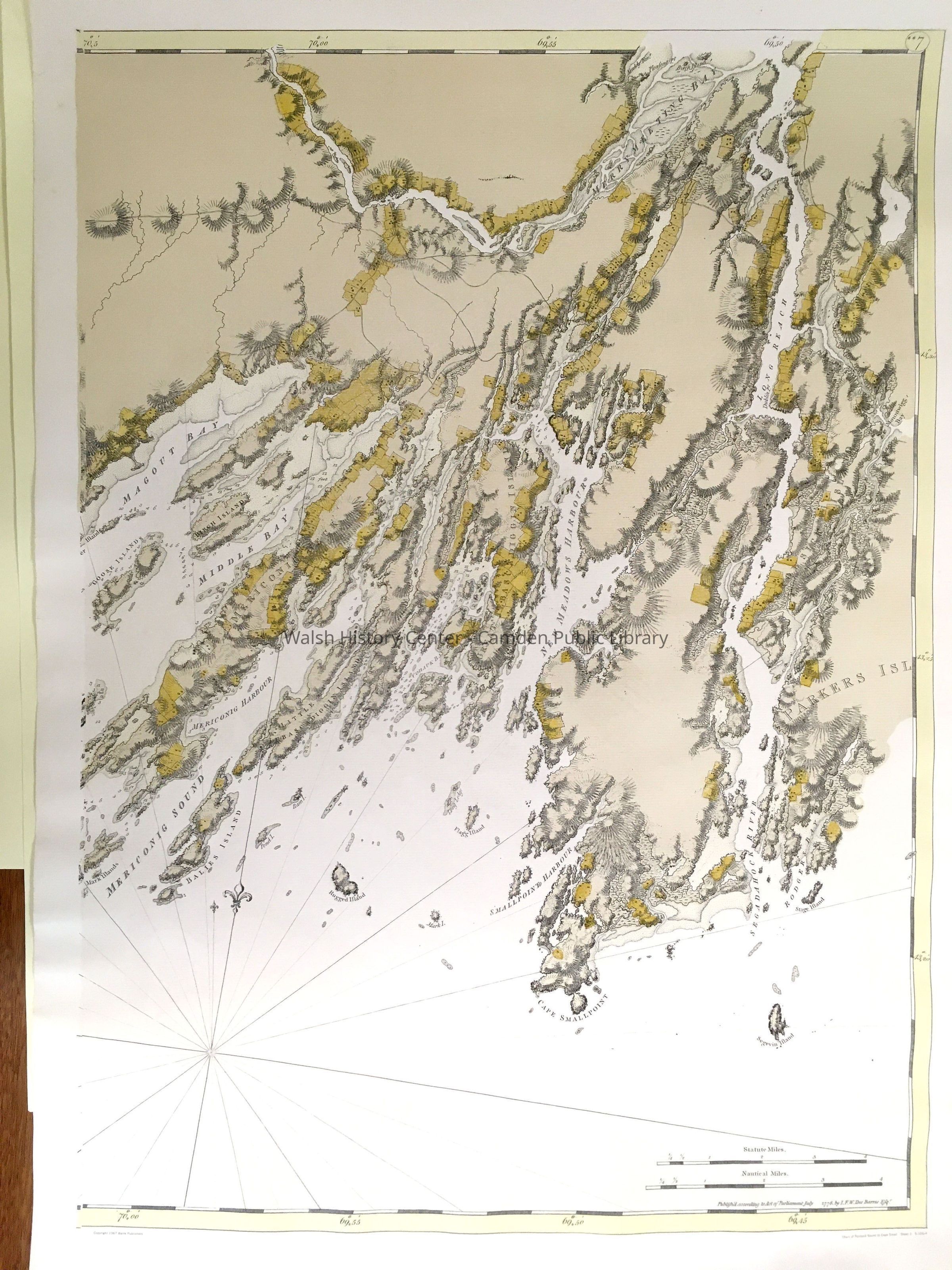
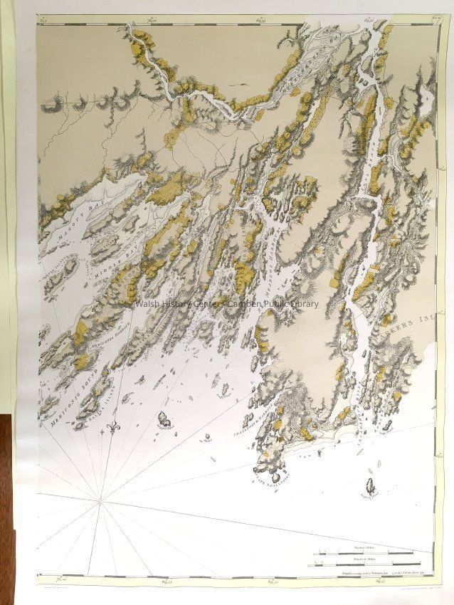
Name/Title
Nautical chart, reprint of 1776 Atlantic Neptune. 23" x 36"Entry/Object ID
WHC 2024.6.2Scope and Content
Nautical charts of Portland Sound to Cape Small [in two charts] from the Atlantic Neptune Sea Charts. Republished by Barre Publishers, 1967 as Sheet 1, S 105-4 and Sheet 2, S 105-4. Color print reproduction of the original, which was "Published according to Act of Parliament July 1776, by I.F.W. Des Barres, Esqr." (Scale bars of statute miles and of nautical miles in lower rh corner of Sheet 2. Latitude and longitude indicated in tinted margin.) Slight (1 inch) tear in bottom margin of Sheet 2. On loan from Sandy Delano, 2019.Collection
75 Atlantic NeptuneWalsh History Center Map CollectionAcquisition
Accession
WHC 2024.6Source or Donor
Sandy DelanoAcquisition Method
Collected by StaffLexicon
Nomenclature 4.0
Nomenclature Secondary Object Term
MapNomenclature Primary Object Term
CartographNomenclature Sub-Class
Graphic DocumentsNomenclature Class
Documentary ObjectsNomenclature Category
Category 08: Communication ObjectsSearch Terms
1776, Atlantic Neptune, Des Barres, Portland, Cape Small, Falmouth, Peaks Island, Cousins Island, New Meadows Harbor, Merrymeeting BayLocation
Location
Building
Map Cabinet, Folder PCategory
PermanentDate
October 21, 2025Created By
admin@catalogit.appCreate Date
February 14, 2024Updated By
admin@catalogit.appUpdate Date
October 27, 2025