Name/Title
Survey of Property of A.M. Judson, Camden, Maine 1903Entry/Object ID
WHC 2013.20Description
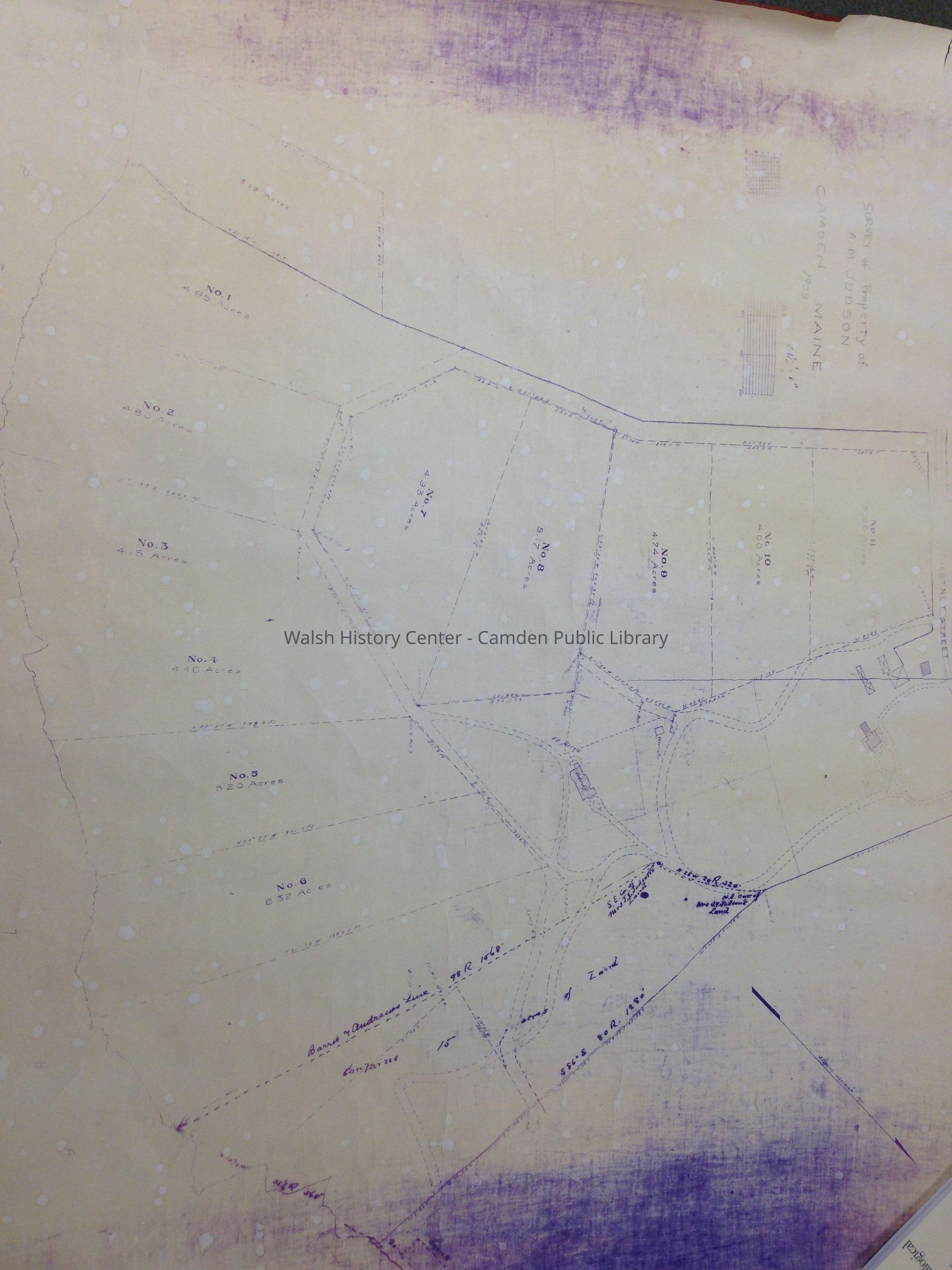
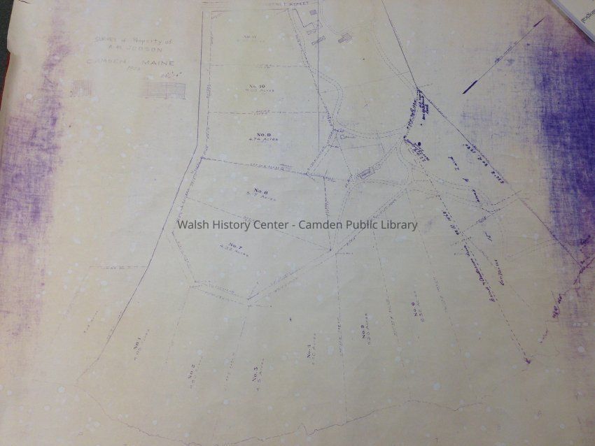
One 36" x 40" survey map of the A.M. Judson property later known as "Undercliff" on outer Bayview Street in Camden, Maine. Map dated 1903 and depicts 11 lots. Scale is 84.5 feet = 1 inch.Collection
Camden Public Library Map CollectionCataloged By
Heather BilodeauAcquisition
Accession
WHC 2013.20Source or Donor
Mr. and Mrs. Kenneth R. CarlsonAcquisition Method
GiftLexicon
Nomenclature 4.0
Nomenclature Secondary Object Term
MapNomenclature Primary Object Term
CartographNomenclature Sub-Class
Graphic DocumentsNomenclature Class
Documentary ObjectsNomenclature Category
Category 08: Communication ObjectsLOC Thesaurus for Graphic Materials
Maps, Land, Land subdivisionSearch Terms
Bayview Street, Camden, Maine, UndercliffMap Details
Maker or Creator
unknownScale
84.5 feet = 1 inchArea or Region
Location
Maine/Knox Co. /Camden/ Bayview StreetDate Published
1903Medium
PaperPublication Language
EnglishMap Notes
Date(s): 1903Parts
36" x 40" map
Sheets: 1Location
Location
Cabinet
Map CaseBuilding
Walsh History CenterCategory
PermanentDate
October 21, 2025Condition
Overall Condition
FairDate Examined
Aug 1, 2013Examined By
Heather BilodeauRelationships
Related Person or Organization
Person or Organization
Judson, A. M.General Notes
Note
Status: OK
Status By: Heather Bilodeau
Status Date: 2013-08-01Created By
admin@catalogit.appCreate Date
August 1, 2013Updated By
admin@catalogit.appUpdate Date
October 27, 2025