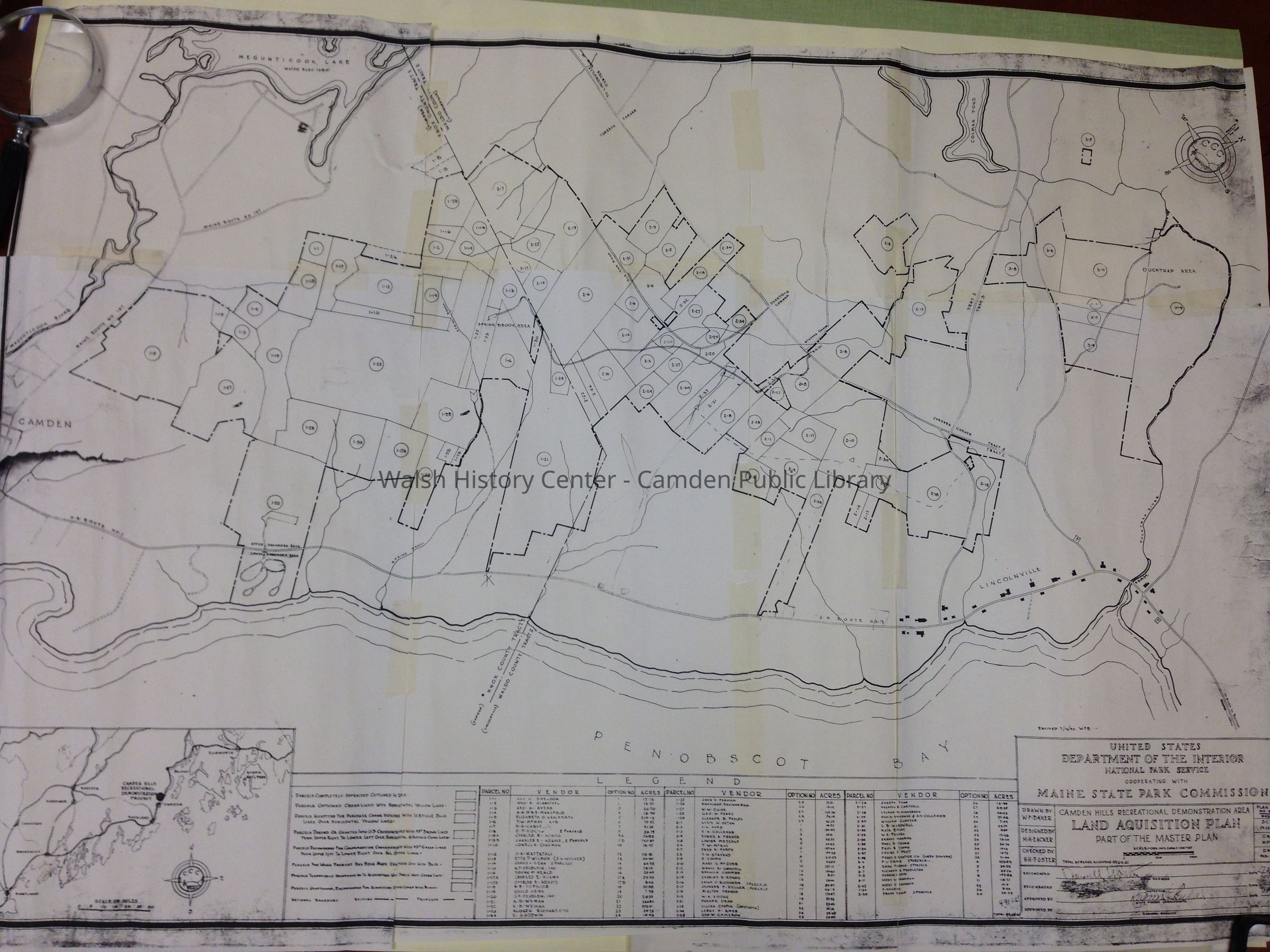
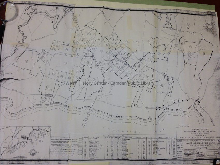
Name/Title
Camden Hills Recreational Demonstration Area Land Acquisition PlanEntry/Object ID
WHC 2014.30.4Description
Facsimile copy of land acquisition plan for the Camden Hills area circa 1940 (date has been cut off). Drawn by W.F. Baker for the U.S. Department of the Interior, National Park Service.Collection
Camden Public Library Map CollectionCataloged By
Heather MoranAcquisition
Accession
WHC 2014.30Source or Donor
Boynton, Mrs. HaroldAcquisition Method
GiftLexicon
Nomenclature 4.0
Nomenclature Secondary Object Term
MapNomenclature Primary Object Term
CartographNomenclature Sub-Class
Graphic DocumentsNomenclature Class
Documentary ObjectsNomenclature Category
Category 08: Communication ObjectsLOC Thesaurus for Graphic Materials
Land, Land subdivision, Land useSearch Terms
Camden, Camden Hills State Park, MaineMap Details
Maker or Creator
Maine State Park Commission, Department of the InteriorScale
1 inch = 1200 feetArea or Region
Location
Camden Hills State Park /Rt. 1Publisher
National Park Service and Maine State Park CommissionMedium
PaperPublication Language
EnglishMap Notes
Date(s) Created: 1940 circa
Date(s): 1940 circa
Date Published: 1940 circaDimensions
Dimension Notes
61 x 87 cmLocation
Location
Cabinet
Map CaseBuilding
Walsh History CenterCategory
PermanentDate
October 21, 2025Condition
Overall Condition
FairDate Examined
Jul 5, 2014Examined By
Heather MoranGeneral Notes
Note
Status: OK
Status By: Heather Moran
Status Date: 2014-07-05Created By
admin@catalogit.appCreate Date
July 5, 2014Updated By
admin@catalogit.appUpdate Date
October 27, 2025