Name/Title
Georges River Canal PathEntry/Object ID
WHC 2022.37.1Description
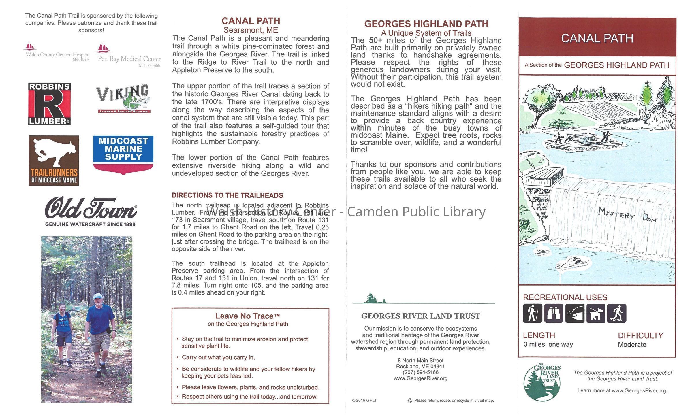
8.5"x 14" brochure
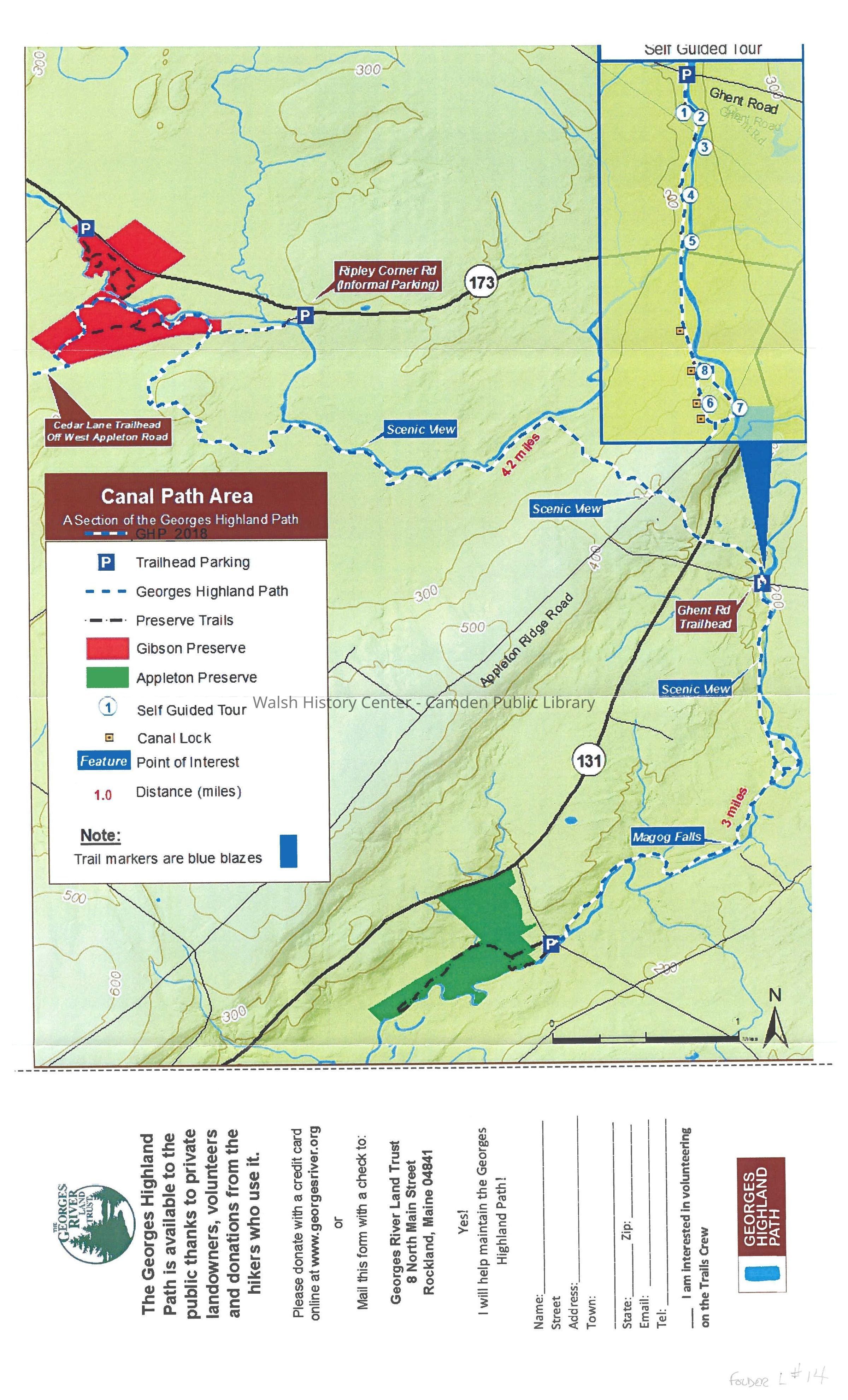
GEORGES RIVER HIGHLAND PATH - CANAL PATH AREA. Color map of the trail from Cedar Lane off West Appleton Road to the south end of the Appleton Preserve. An inset map depicts the canal section between the Ghent Road and the south end of Appleton Preserve. There is a key to features of the map and a scale bar. On the reverse side are some written descriptions and directions. The numbers on the inset map are referred to by the key in WHC 2022.37.2.
Published in 2016 by the Georges River Land Trust as a 4-fold brochure.Collection
Camden Public Library CollectionCataloged By
Ken GrossAcquisition
Accession
WHC 2022.37Source or Donor
Unknown Accession Donor (ae49d700-ae8a-11f0-a0b9-c7ce86d2caba)Acquisition Method
Collected by StaffLexicon
Nomenclature 4.0
Nomenclature Secondary Object Term
MapNomenclature Primary Object Term
CartographNomenclature Sub-Class
Graphic DocumentsNomenclature Class
Documentary ObjectsNomenclature Category
Category 08: Communication ObjectsLOC Thesaurus for Graphic Materials
CanalsSearch Terms
Georges River, Georges River Canal, Canal, 1840, Ghent Road, Robbins Lumber Company, Appleton, SearsmontMap Details
Date Published
Nov 8, 2022Location
Location
Building
Map Case Folder LCategory
PermanentDate
October 21, 2025Condition
Overall Condition
GoodDate Examined
Nov 8, 2022Examined By
Ken GrossGeneral Notes
Note
Status: OK
Status By: Ken Gross
Status Date: 2022-11-08Created By
admin@catalogit.appCreate Date
November 8, 2022Updated By
admin@catalogit.appUpdate Date
October 27, 2025