Name/Title
The Old Maps of Androscoggin County, Maine in 1873Entry/Object ID
WHC.2016.35Description
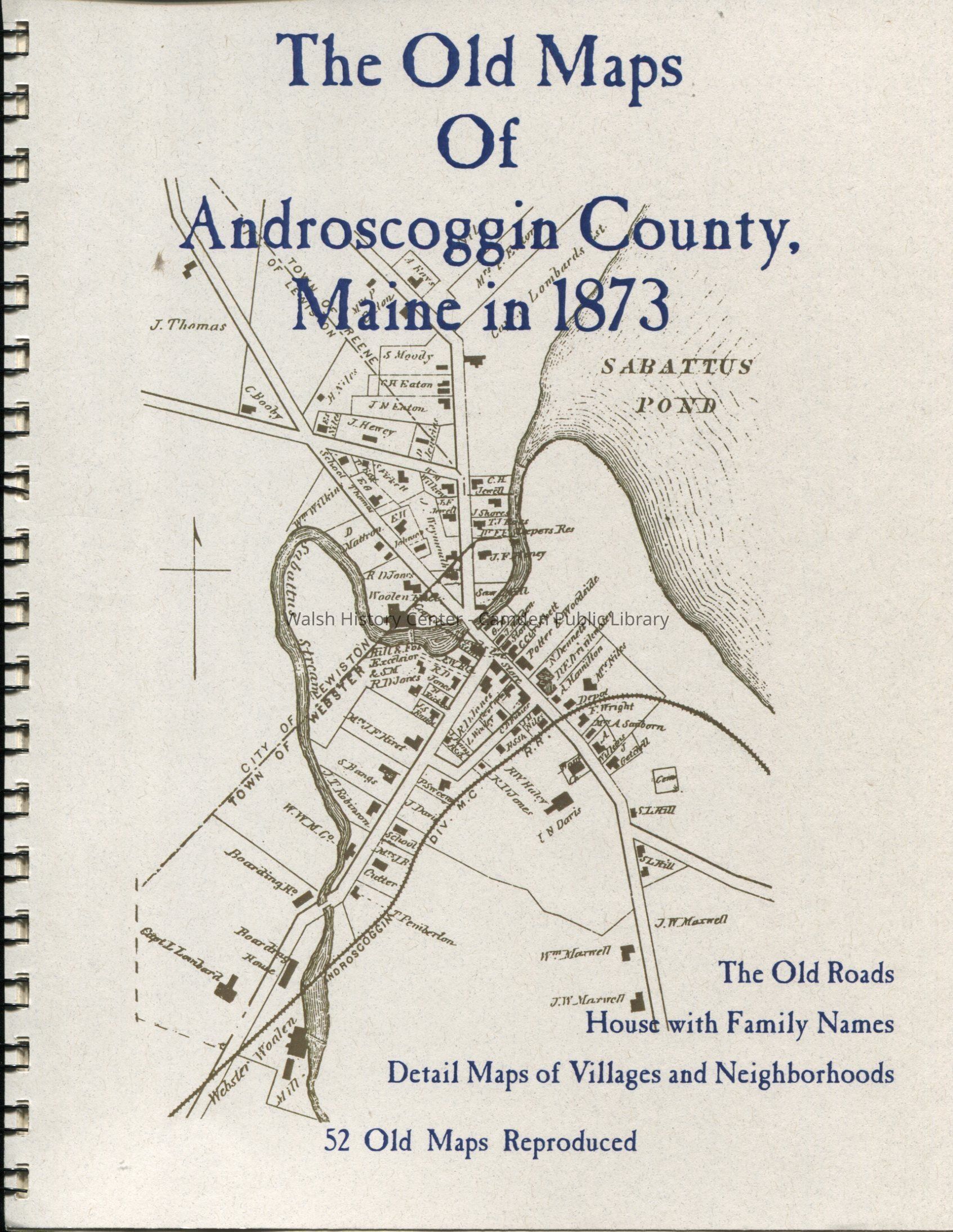
52 reproduction maps of Androscoggin County, Maine, dating from 1873. Originally compiled by Sanford and Everts, Philadelphia. Includes old roads, houses with family names, and detail maps of villages and neighborhoods.
Physical Description: 48 pages, maps, 28 cm.Collection
Walsh History Center CollectionCataloged By
Marie StickneyAcquisition
Accession
WHC.2016.35Source or Donor
Maine Historical SocietyAcquisition Method
PurchaseLexicon
Nomenclature 4.0
Nomenclature Primary Object Term
BookNomenclature Sub-Class
Other DocumentsNomenclature Class
Documentary ObjectsNomenclature Category
Category 08: Communication ObjectsLOC Thesaurus for Graphic Materials
MapsSearch Terms
Maps, Androscoggin County, Auburn, Durham, Greene, Leeds, Lewiston, Lisbon, Lisbon Falls, Livermore, Livermore Falls, Mechanic Falls, Minot, Poland, Sabattusville, Turner, Wales, WebsterBook Details
Series
Old MapsPublisher
The Write StuffDate Published
1873 - 1873Publication Language
EnglishCall No.
TH 974.1 AndNotes
Date: 2006
Copy No.: 1Location
Location
Building
Walsh History CenterCategory
PermanentDate
October 21, 2025Condition
Overall Condition
GoodDate Examined
Oct 18, 2016Examined By
Marie StickneyCreated By
admin@catalogit.appCreate Date
October 18, 2016Updated By
admin@catalogit.appUpdate Date
October 27, 2025