The Old Maps of Kennebec County, Maine in 1879

Old Maps of Kennebec County, 1879

Old Maps of Kennebec County, 1879

Name/Title

The Old Maps of Kennebec County, Maine in 1879

Entry/Object ID

WHC.2016.36

Description

A collection of 64 maps of Androscoggin County in 1879. Originally compiled by Caldwell & Halfpenny, Philkadelphia. Includes old roads, houses and families, and detail maps of villages and neighborhoods. Physical Description: 55 pages, maps, 28 cm.

Collection

Walsh History Center Collection

Cataloged By

Marie Stickney

Acquisition

Accession

WHC.2016.36

Source or Donor

Maine Historical Society

Acquisition Method

Purchase

Lexicon

Nomenclature 4.0

Nomenclature Primary Object Term

Book

Nomenclature Sub-Class

Other Documents

Nomenclature Class

Documentary Objects

Nomenclature Category

Category 08: Communication Objects

LOC Thesaurus for Graphic Materials

Maps, China

Search Terms

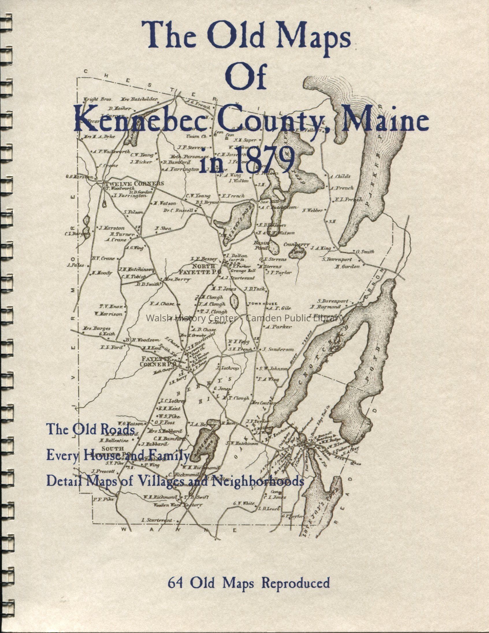
Maps, Kennebec County, Albion, Augusta, Belgrade, Benton, Branch Mills, Chelsea, China, Clinton, Farmingdale, Fayette, Gardiner, Hallowell, Litchfield, Manchester, Monmouth, Mount Vernon, Pittston, Readfield, Rome, Sidney, Unity Plantation, Vassalboro, Vienna, Waterville, Wayne, Weeks Mills, Windsor, Winslow, Winthrop

Book Details

Series

Old Maps

Publisher

The Write Stuff

Place Published

Location

Fryeburg, ME

Date Published

1879 - 1879

Publication Language

English

Call No.

TH 974.1 Ken

Notes

Date: 2006

Location

Location

Building

Walsh History Center

Category

Permanent

Date

October 21, 2025

Condition

Overall Condition

Good

Date Examined

Oct 18, 2016

Examined By

Marie Stickney

Created By

admin@catalogit.app

Create Date

October 18, 2016

Updated By

admin@catalogit.app

Update Date

October 27, 2025