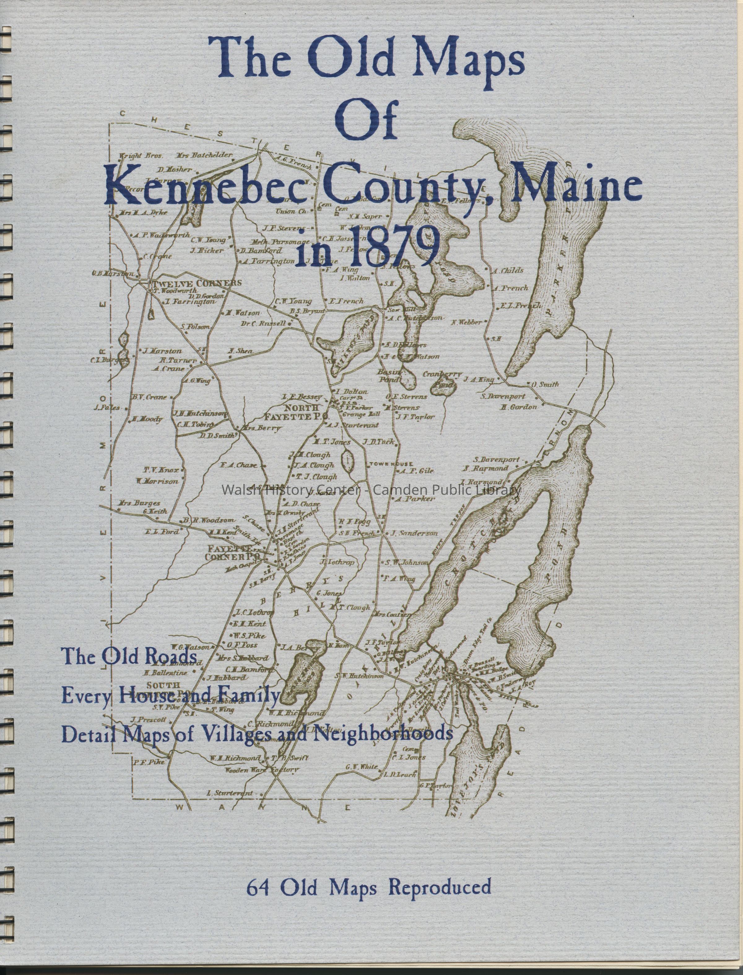
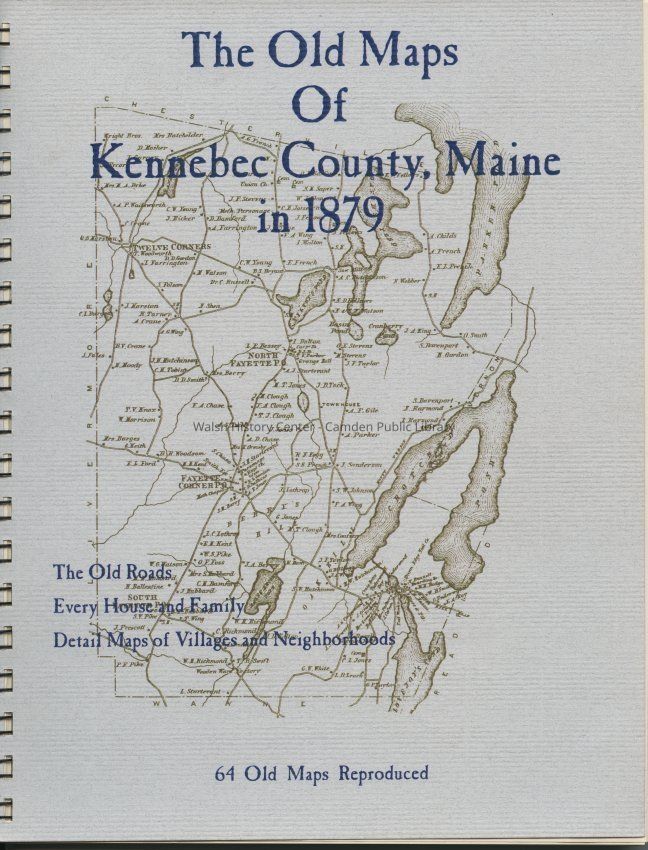
Name/Title
The Old Maps of Kennebec County, Maine in 1879Entry/Object ID
WHC 2017.29Description
64 reproductions of old maps of Kennebec County, Maine, in 1879. Includes old roads, houses and family names, and detail maps of villages.
Physical Description: 55 pages : maps ; 11 in., softcover, spiral bindingCollection
Walsh History Center CollectionCataloged By
Marie StickneyAcquisition
Accession
WHC 2017.29Source or Donor
Donovan BowleyAcquisition Method
GiftLexicon
Nomenclature 4.0
Nomenclature Primary Object Term
BookNomenclature Sub-Class
Other DocumentsNomenclature Class
Documentary ObjectsNomenclature Category
Category 08: Communication ObjectsLOC Thesaurus for Graphic Materials
Maps, Cities & townsSearch Terms
Maps, Kennebec County, MaineOther Names and Numbers
Other Numbers
Number Type
Other NumberOther Number
31896001300904Book Details
Publisher
The Write StuffDate Published
2006Publication Language
EnglishCall No.
TH 974.1 KenLocation
Location
Wall
Town HistoryRoom
Walsh History CenterBuilding
Walsh History CenterCategory
PermanentDate
October 21, 2025Condition
Overall Condition
GoodDate Examined
Jan 21, 2018Examined By
Marie StickneyGeneral Notes
Note
Status: OK
Status By: Marie Stickney
Status Date: 2018-01-21Created By
admin@catalogit.appCreate Date
January 21, 2018Updated By
admin@catalogit.appUpdate Date
October 27, 2025