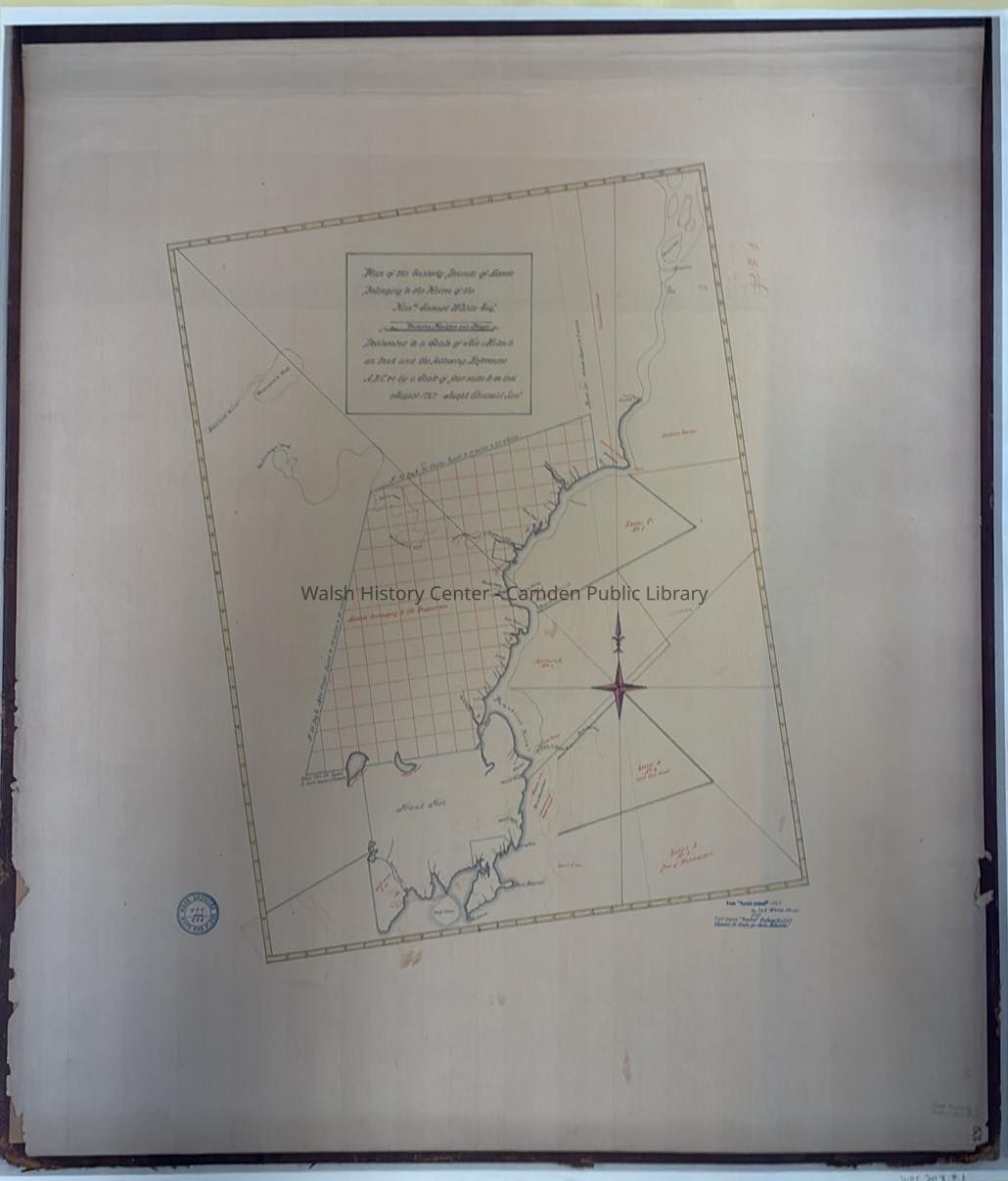
Plan of the Easterly Bounds of Lands Belonging to the Heires of the Hon. Samuel Waldo Esq. between Frankfort and Bangor.
Entry/Object ID
WHC 2018.8.2
Description
A 2018 reproduction of an August 1767 map showing the land belonging to the heirs of Samuel Waldo between Frankfort and Bangor, Maine. Created by Joseph Chadwick, surveyor.
Original map resides in the collection of the Maine State Archives. Map is also stamped as the property of "Senate Papers 1767" and "Mass. Archives Maps and Plans."