HUB
Collections
Classifications
About
App
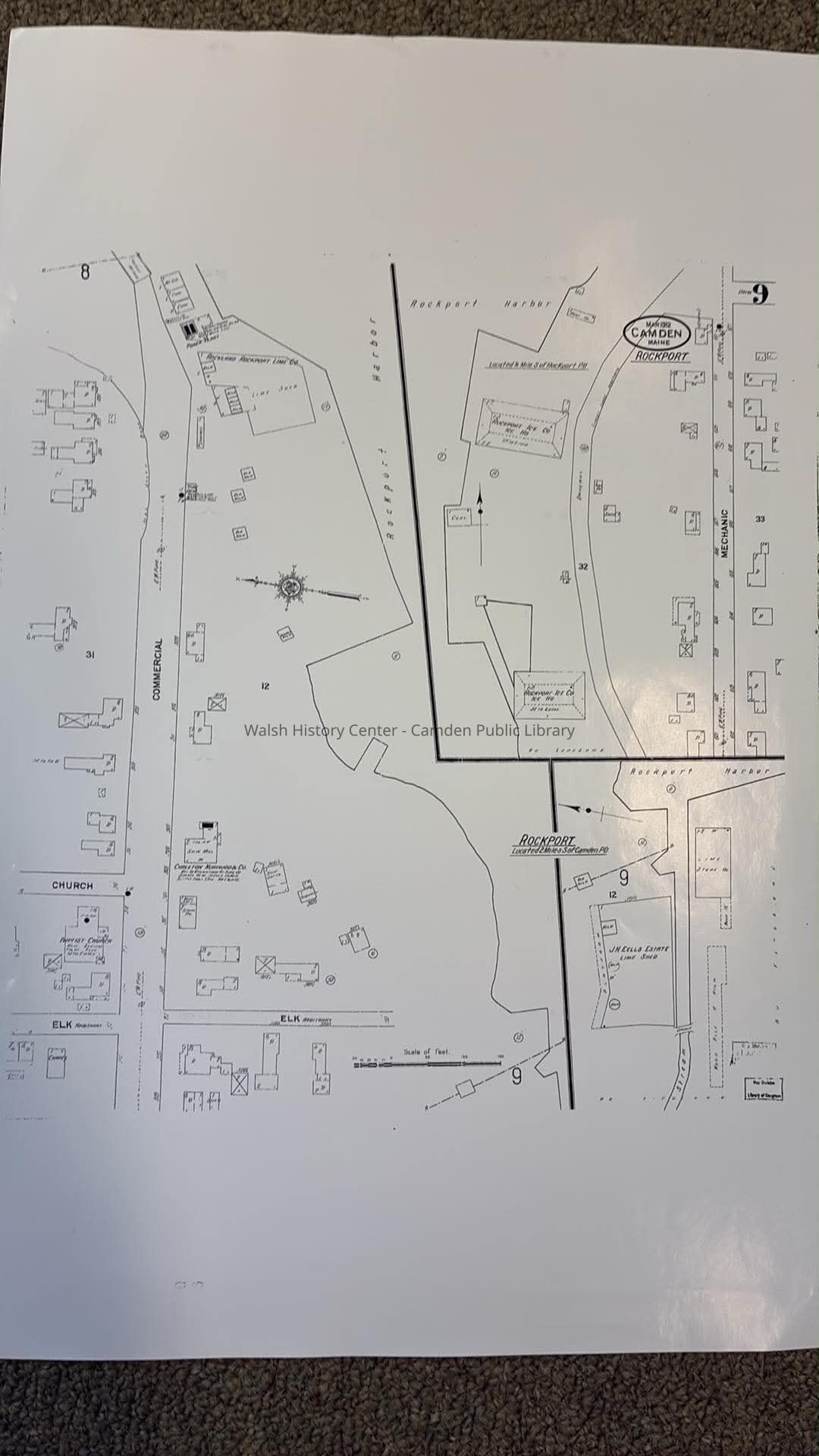
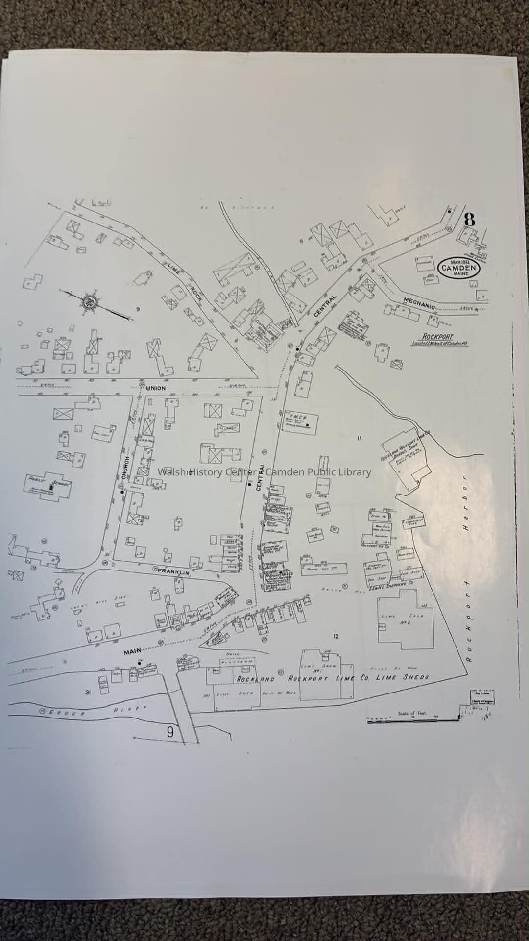
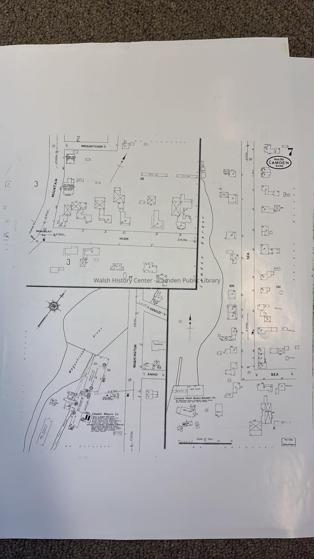
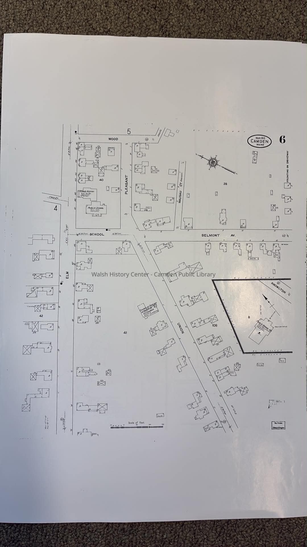
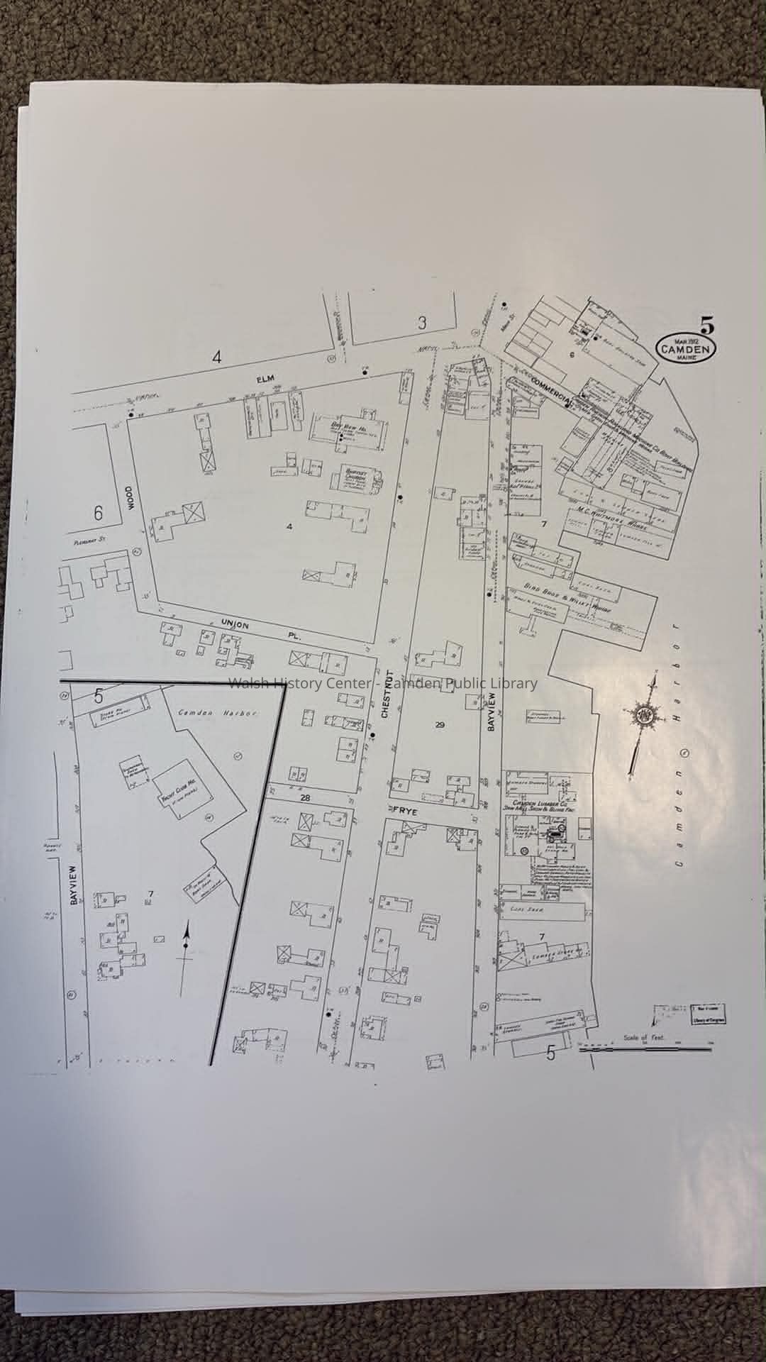
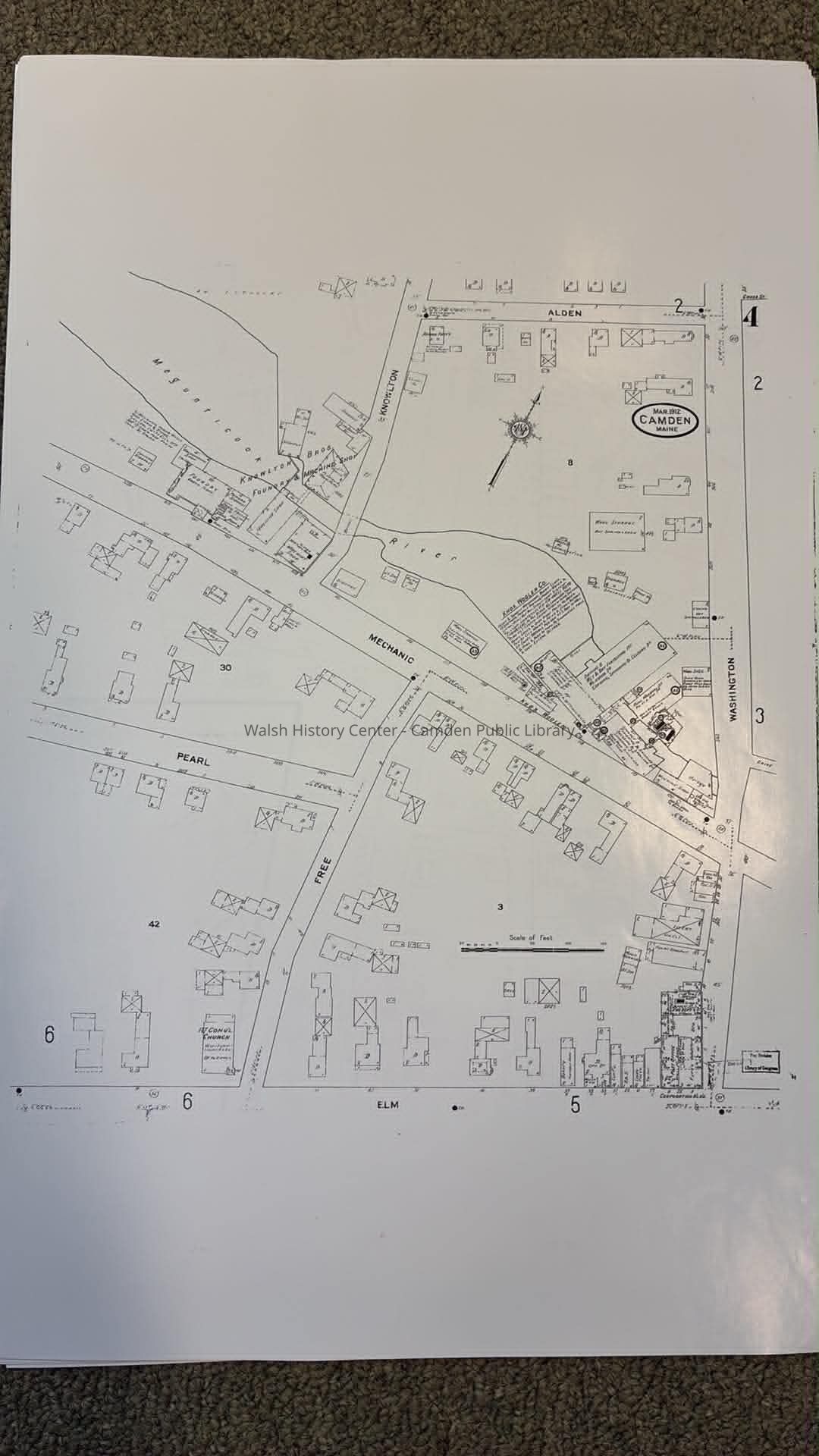
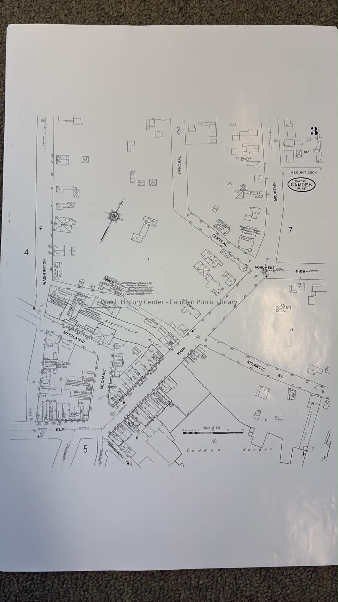
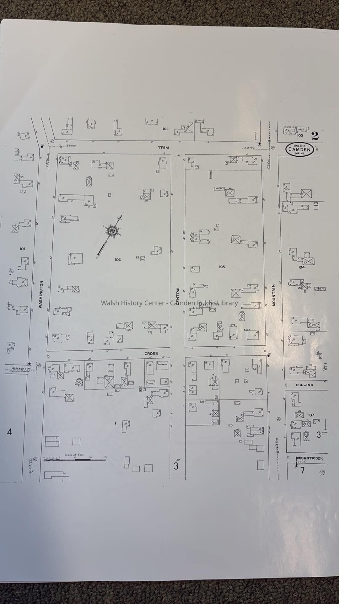
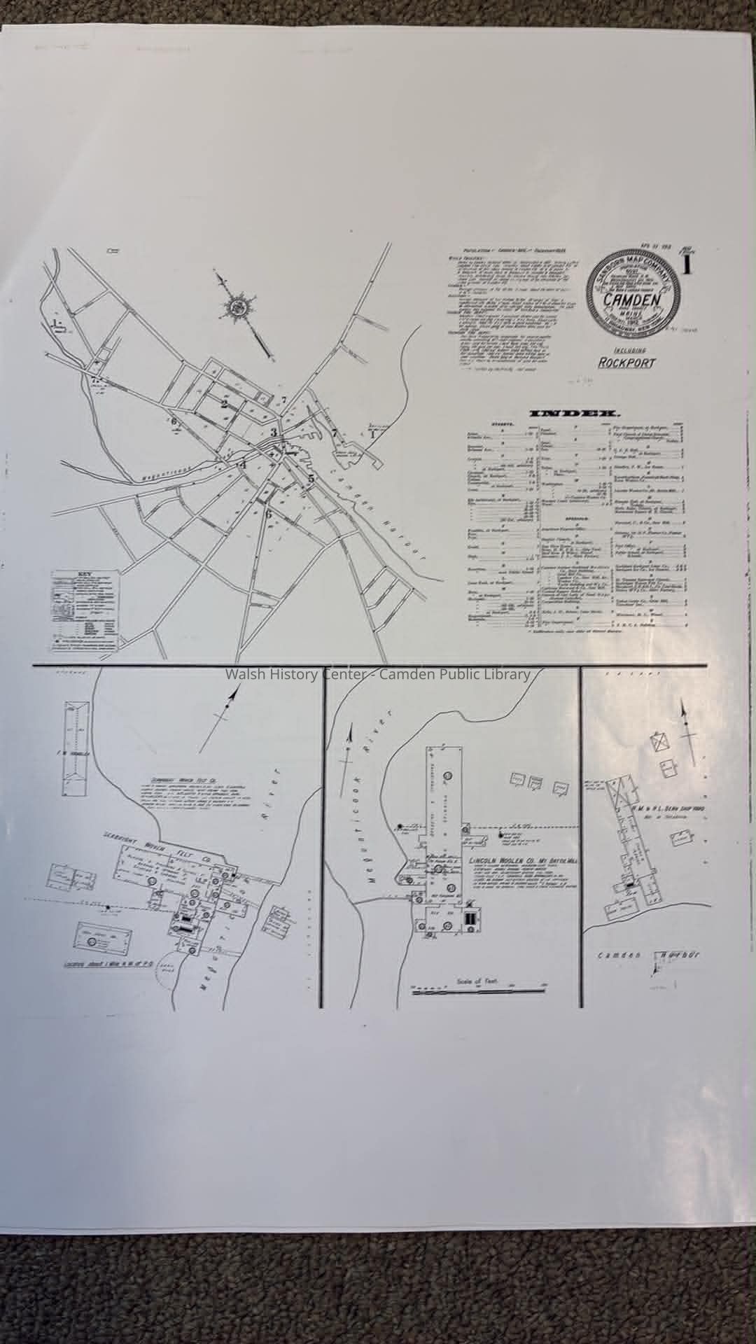
Sanborn Insurance Map of Camden and Rockport, 1912
Map
-
Walsh History Center - Camden Public Library
Name/Title
Sanborn Insurance Map of Camden and Rockport, 1912
Entry/Object ID
2026.4
Secondary Title
Sanborn Insurance Map of Camden and Rockport, 1912
Description
The Sanborn Insurance Map detailing the businesses and residences in the towns of Camden and Rockport in the year 1912. 9 Sheets.
Collection
Camden Public Library Map Collection
Cataloged By
Wyatt Porter
Map Details
Maker or Creator
Sanborn Map Company, Inc.
Area or Region
Location
Camden and Rockport, Maine
Publisher
Sanborn Map Company, Inc.
Date Published
Mar 1912
Medium
Paper
Publication Language
English
Dimensions
Height
18-1/2 in
Width
13 in
Location
Location
Walsh History Center
Map Case Drawer 2
Date
July 27, 2026
General Notes
Note Type
Cataloging Note
Note
Modern copies original maps
Created By
[email protected]
Create Date
July 27, 2026
Updated By
[email protected]
Update Date
July 27, 2026