Name/Title
This plan of Kennebeck & Sagadahock Rivers & country adjacentEntry/Object ID
2026.3Secondary Title
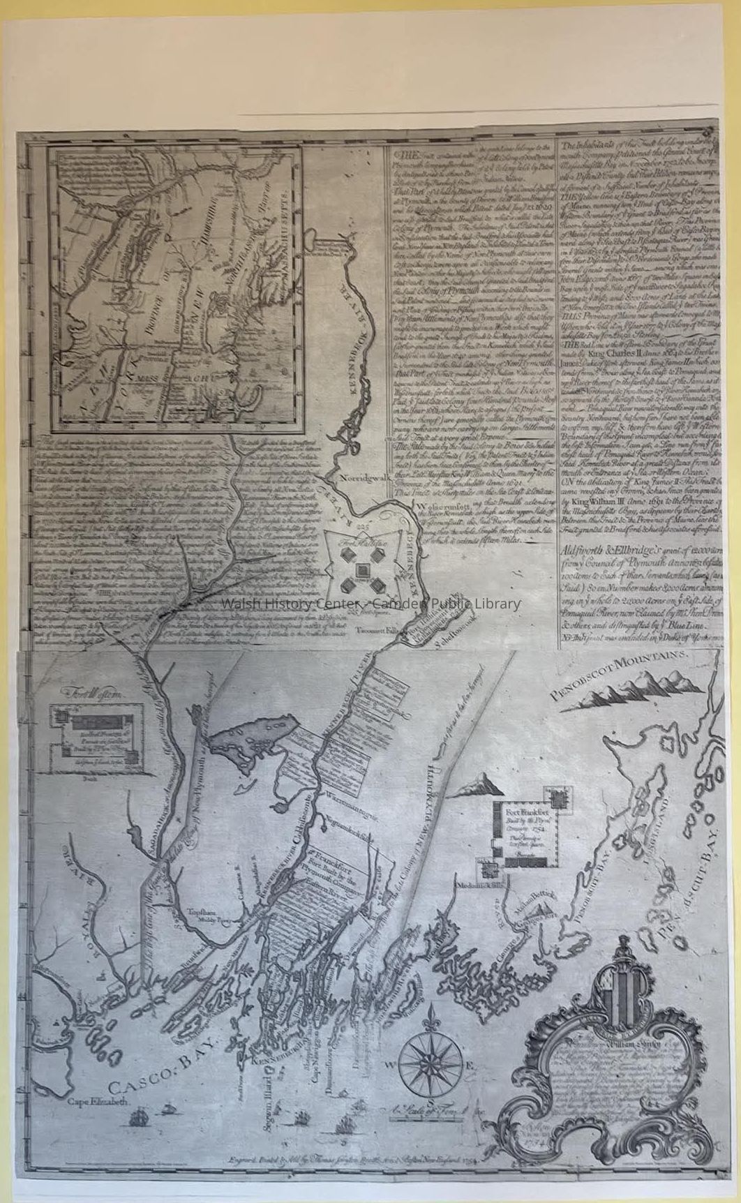
Plan of Kennebeck & Sagadahock RiversDescription
"Just a year after producing a map supporting the Brunswick Proprietors’ claim, Thomas Johnston issued this plan supporting the position of their opponents in the Plymouth Company. The map depicts the Company’s grant extending to Casco Bay and includes a long note justifying its title to the land. It also places the dispute in the broader context of Anglo-French tensions by highlighting the Company’s role in establishing Forts Franckfort and Western to protect the Maine frontier from French attacks." - From Norman B. Leventhal Map & Education CenterCollection
Walsh History Center Map CollectionCataloged By
Wyatt PorterLexicon
Search Terms
Penobscot Bay, New England, Maine, Casco Bay, Kennebec River, Cumberland CountyMap Details
Maker or Creator
Johnston, ThomasScale
1:253,440Area or Region
* Untyped Area or Region
New EnglandIllustrator
Johnston, ThomasPublisher
Johnston, ThomasPlace Published
* Untyped Place Published
Brattle Street, Boston, New EnglandDate Published
1754Time Period
18th CenturyLocation
Location
Cabinet
Map CaseBuilding
Map case Folder PCategory
PermanentDate
July 15, 2026Condition
Reason for Exam
At AcquisitionOverall Condition
Very GoodDate Examined
Jul 15, 2026Examined By
Wyatt PorterReproductions
Notes
This is a reproductionCreate Date
July 15, 2026Update Date
August 5, 2026