Name/Title
Atlas. DeaccessionedEntry/Object ID
52.93Description
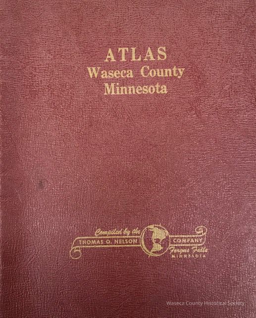
Waseca County Atlas 1964. Material: paper, metal. Size: 10 1/2" x 13 1/2". Description: red heavy card stock cover imprinted with gold title: "Atlas Waseca County Minnesota"; spiral bound; contents: unnumbered pages containing township plats, county road map, rural directory of farmers, farm numbering system, state map of counties and a pictorial section showing county buildings and residents.Cataloged By
PfenLexicon
Nomenclature 4.0
Nomenclature Secondary Object Term
AtlasNomenclature Primary Object Term
CartographNomenclature Sub-Class
Graphic DocumentsNomenclature Class
Documentary ObjectsNomenclature Category
Category 08: Communication ObjectsPublication Details
Publisher
Thomas O. NelsonCreate Date
November 28, 2012Update Date
January 16, 2026