Name/Title
AtlasEntry/Object ID
53.87.2Description
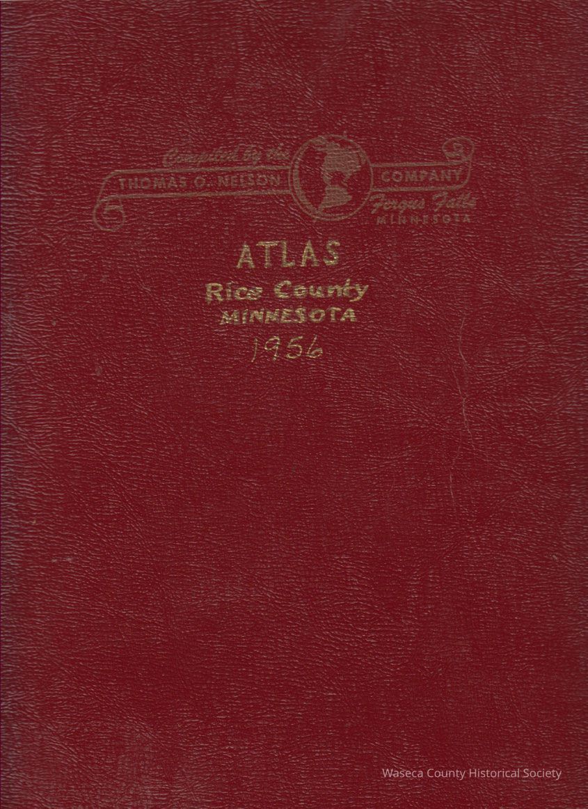
Rice County Atlas 1956. Material: paper, metal. Size: 10 1/2" x 13". Description: red textured heavy card stock cover and metal spiral binding; cover print: "Atlas Rice County Minnesota"; contents: 147 pages containing township plat maps for Bridgewater, Cannon City, Erin, Forest, Morristown, Northfield, Richland, Shieldsville, Walcott, Warsaw, Webster, Wells, Wheatland and Wheeling; also included a county road map, a rural directory of farmers, listing of Minnesota towns and lakes.Cataloged By
paulineLexicon
Nomenclature 4.0
Nomenclature Secondary Object Term
AtlasNomenclature Primary Object Term
CartographNomenclature Sub-Class
Graphic DocumentsNomenclature Class
Documentary ObjectsNomenclature Category
Category 08: Communication ObjectsPublication Details
Publisher
Thomas O. Nelson Co.Create Date
September 24, 1987Update Date
November 21, 2024