Name/Title
Book. DeaccessionedEntry/Object ID
44.94Description
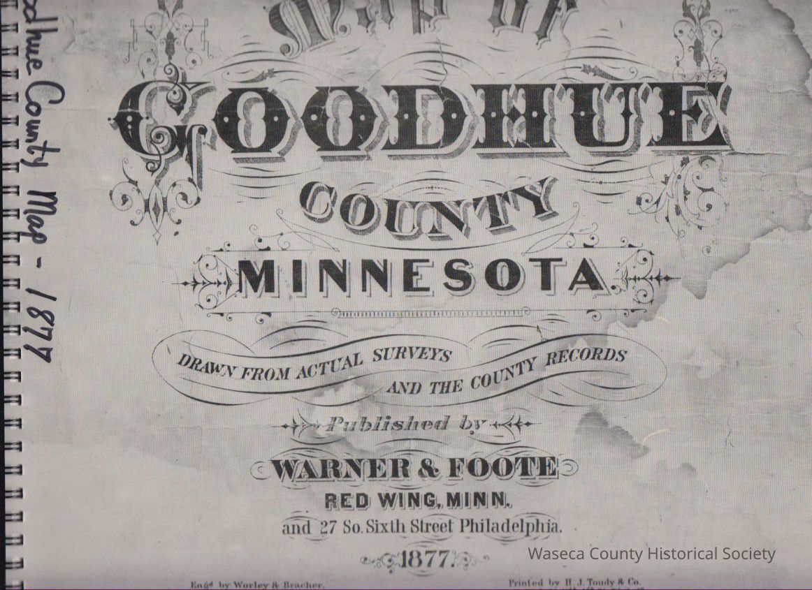
Map of Goodhue County, Minnesota 1877. Material paper, metal. Size: 11" x 12". Description: gray glossy card stock cover with metal spiral binding; cover title: "Map of Goodhue County Minnesota"; contents: 90 pages of township plat maps of Belle Creek, Belvidere, Burnside, Cannon Falls, Central Point, Cherry Grove, Featherstone, Frontenac, Goodhue, Hay Creek, Holden, Kenyon, Leon, Minneola, Pine Island, Roscoe, Red Wing, Stanton, Vasa, Wacouta, Wanamingo, Warsaw, Welch, Zumbrota with ethnic settlement patterns and index.Cataloged By
Legacy Photo ImportLexicon
Nomenclature 4.0
Nomenclature Primary Object Term
BookNomenclature Sub-Class
Other DocumentsNomenclature Class
Documentary ObjectsNomenclature Category
Category 08: Communication ObjectsBook Details
Author
Indexer, Kathryn EricsonPublisher
Goodhue County Historical SocietyCreate Date
December 5, 1994Update Date
January 16, 2026