Name/Title
Booklet. DeaccessionedEntry/Object ID
1.12.110Description
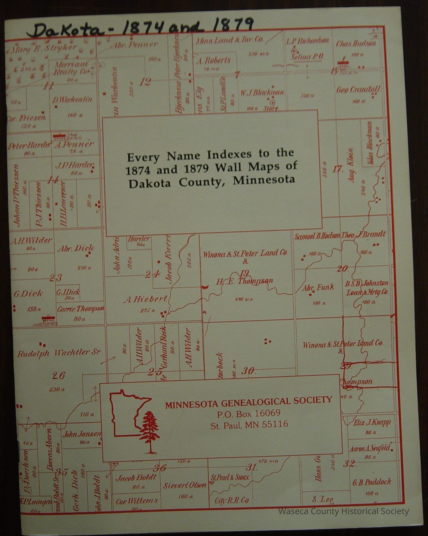
Index: 1874 and 1879 Wall Maps of Dakota County. Material: paper, metal. Size: 8 1/2" x 11". Description: white card stock cover, red printed Dakota County plat map cover graphic, title: "Every Name Indexes to the 1874 and 1879 Wall Maps of Dakota County, Minnesota"; contents: 45 numbered pages include the County wall map (loose leaf) with town plat maps of West St. Paul, Lakeville, Miesville, Rosemount, Mendota and Waterford as well as rural resident plat resident owners.Cataloged By
PfenLexicon
Legacy Lexicon
Object Name
BookletClass
Documentary ArtifactCategory
Communication ArtifactsCreate Date
April 17, 2012Update Date
January 16, 2026