Name/Title
Chart. DeaccessionEntry/Object ID
56.93 aDescription
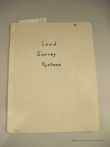
Rand McNally Land Survey Systems. Material: paper. Size: 17" W. x 22" L. Description: imprints and contents in cardstock folder: "Pronto Land Measure Chart - by James H. Adair 2835 Mallary Street Flint Michigan 48504. Pronto Map Sheets, Pronto Scales, Pronto Land Measure Compass, Land Triangle - Public Land Survey Systems of the United States - Section Description and Subdivisions - Units of Length and Conversions" - Township and Range Survey System, and U.S. map.Context
Donated by Ethelyn Brekken.Cataloged By
Legacy Photo ImportLexicon
Nomenclature 4.0
Nomenclature Primary Object Term
ChartNomenclature Sub-Class
Graphic DocumentsNomenclature Class
Documentary ObjectsNomenclature Category
Category 08: Communication ObjectsPublication Details
Author
Adair, James H.Publisher
Rand McNallyDeaccession
56.93 DeaccessionedCreate Date
December 21, 1993Update Date
February 3, 2026