Name/Title
Directory, PlatEntry/Object ID
106.86.46Description
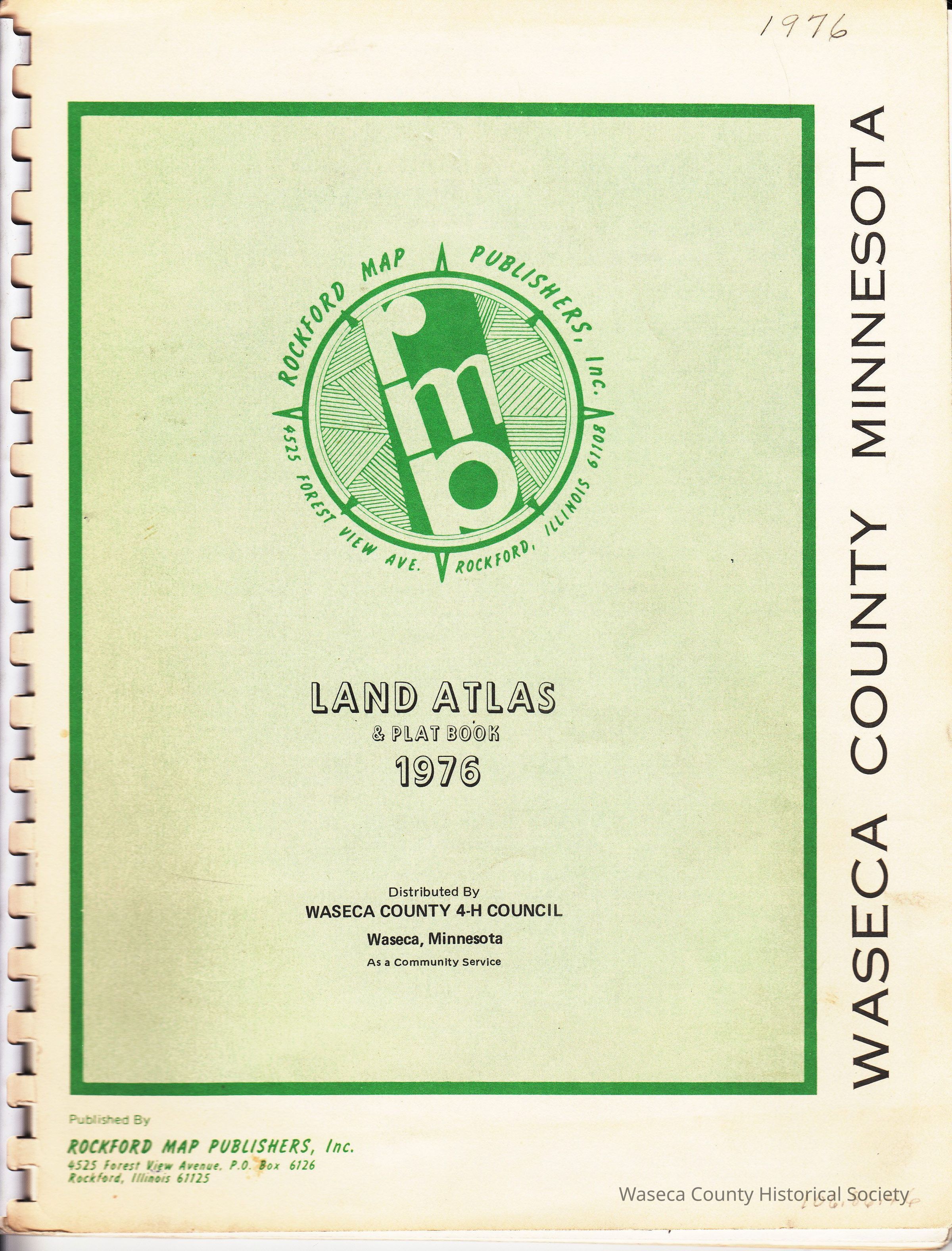
Waseca County Atlas and Plat Directory 1976. Material: paper, plastic. Size: 8 1/2" x 11". Description: white card stock with green center rectangle, black title print: "Land Atlas & Plat Book 1976; Waseca County Minnesota", white plastic spiral binding; contents: 28 numbered pages include local businesses, county government directories, county index, land descriptions, highway map, index to owners and metric conversion table; plat maps of all twelve townships; local businesses boxed ads.Cataloged By
paulineLexicon
Legacy Lexicon
Object Name
Directory, PlatClass
Documentary ArtifactCategory
Communication ArtifactsPublication Details
Publisher
Waseca County 4-H CouncilCreate Date
November 16, 2012Update Date
November 21, 2024