Name/Title
MapEntry/Object ID
2864Description
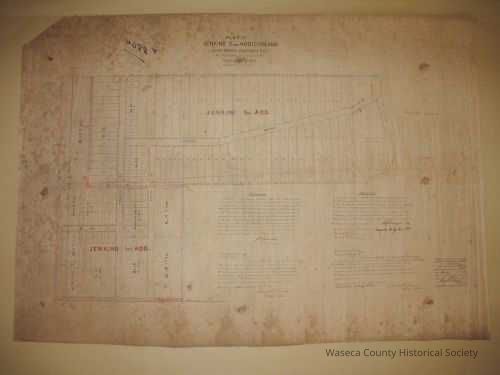
Waseca 1885: Jenkins 2nd Addition and Subdivision of Blocks 15 & 17 in Jenkins 1st Addition. Material: textile. Size: 26" W. x 37" L. Scale: 1" = 150'. Description: black and white oilcloth - manuscript plat map - streets, blocks and lots of Waseca City - distance lines in red - signed, notarized, stamped and certified by August F. Kruger, Register of Deeds for Waseca County.Context
Waseca. City.Cataloged By
Legacy Photo ImportLexicon
Nomenclature 4.0
Nomenclature Secondary Object Term
MapNomenclature Primary Object Term
CartographNomenclature Sub-Class
Graphic DocumentsNomenclature Class
Documentary ObjectsNomenclature Category
Category 08: Communication ObjectsPublication Details
Author
Jenkins, J.H. (civil engineer)Create Date
November 1, 1988Update Date
November 21, 2024