Name/Title
MapEntry/Object ID
1.89.41Description
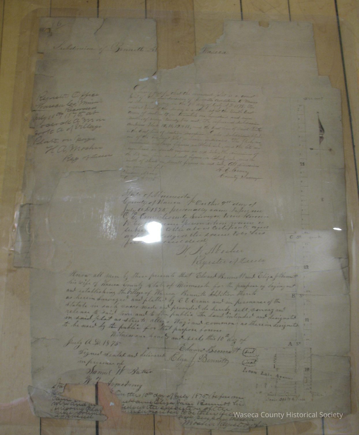
Waseca City Plat: 1875. Material: paper. Size: 16" W. x 19 1/2" L. Description: white paper manuscript plat map; black printed information shows streets, blocks and lots; "Subdivision of Bennetts Addition to Waseca"; statements and certifications signed by C.E. Crane, H.A. Mosher, Edward and Eliza Bennett. Several pieces missing. Scale 200' to 1".Context
Waseca. City. Repaired with insta-hinge (water reversible adhesive) 02/27 to 03/02 1989. Cleaned and encapsulated 03/02/1989.Cataloged By
Legacy Photo ImportLexicon
Nomenclature 4.0
Nomenclature Secondary Object Term
MapNomenclature Primary Object Term
CartographNomenclature Sub-Class
Graphic DocumentsNomenclature Class
Documentary ObjectsNomenclature Category
Category 08: Communication ObjectsPublication Details
Author
Crane, C.E. (county surveyor)Date Published
Jul 8, 1875Create Date
March 3, 1989Update Date
November 21, 2024