Name/Title
MapEntry/Object ID
1.88.239Description
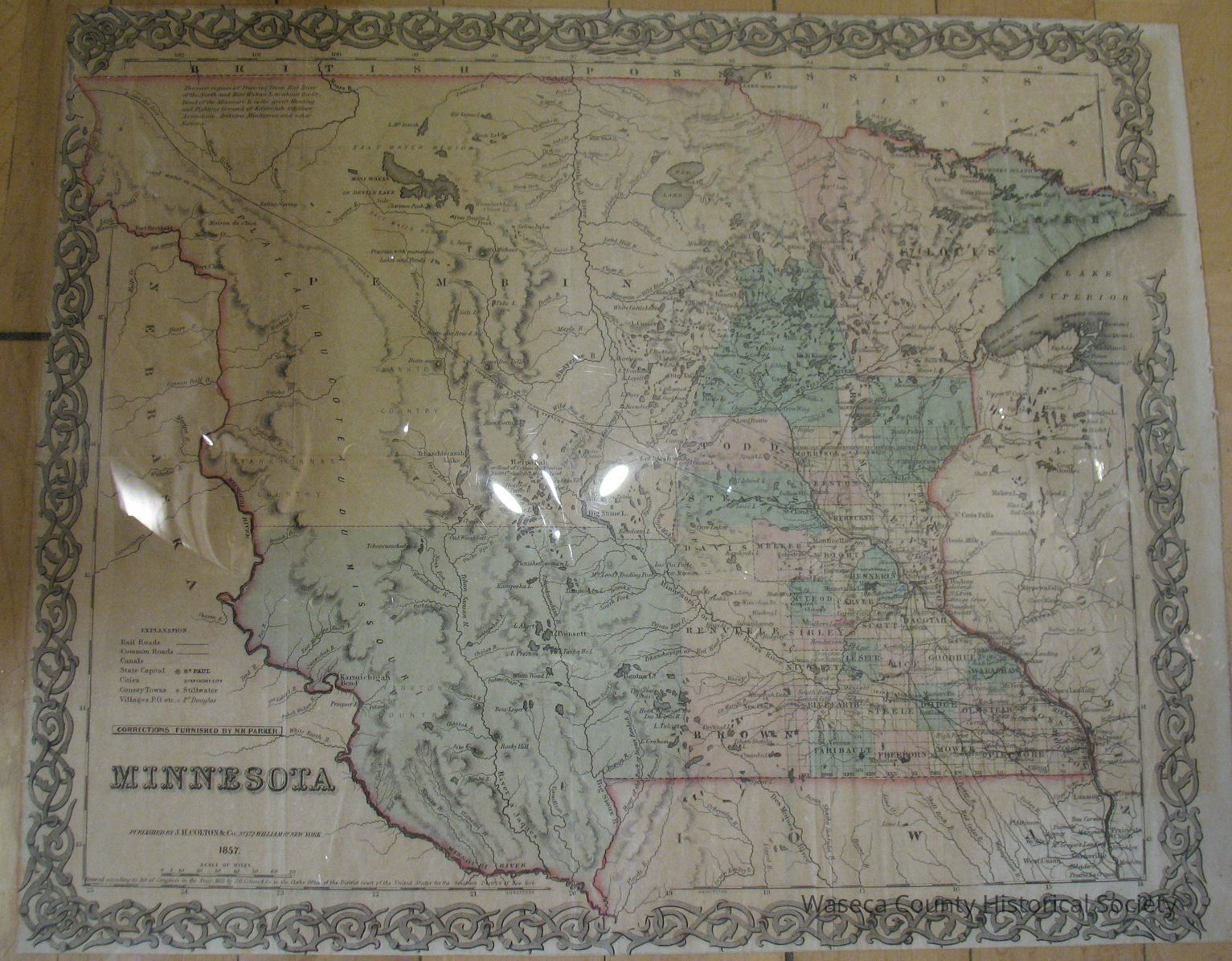
Minnesota Territory and Dakota: 1857. Material: paper. Size: 12 3/4" W. x 15 3/4" L. Description: tinted map of Minnesota Territory including parts of Dakota east of the Missouri River. Printed border of interlocked drawing curves. Encapsulated. 1" = 42 mi.Context
MinnesotaCataloged By
Legacy Photo ImportLexicon
Nomenclature 4.0
Nomenclature Secondary Object Term
MapNomenclature Primary Object Term
CartographNomenclature Sub-Class
Graphic DocumentsNomenclature Class
Documentary ObjectsNomenclature Category
Category 08: Communication ObjectsPublication Details
Author
Parker, N.H. (corrector)Publisher
J.H. Colton & Co.Create Date
November 2, 1988Update Date
November 21, 2024