Name/Title
MapEntry/Object ID
1.88.260Description
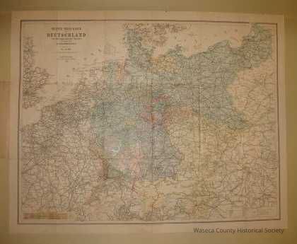
Colored map of the German Empire 1900. Material: paper. Size: 27" W. x 21 1/2" H. Description: German language imprinting shows towns, rail lines, boundaries, etc.Context
See also Quade family papers. Acc. # 63.88. This item accessioned separately for reference purposes. Used by F.H. Quade of Janesville when he visited his parents in Germany in 1900.Cataloged By
Legacy Photo ImportLexicon
Nomenclature 4.0
Nomenclature Secondary Object Term
MapNomenclature Primary Object Term
CartographNomenclature Sub-Class
Graphic DocumentsNomenclature Class
Documentary ObjectsNomenclature Category
Category 08: Communication ObjectsCreate Date
November 2, 1988Update Date
November 21, 2024