Name/Title
MapEntry/Object ID
1.89.36Description
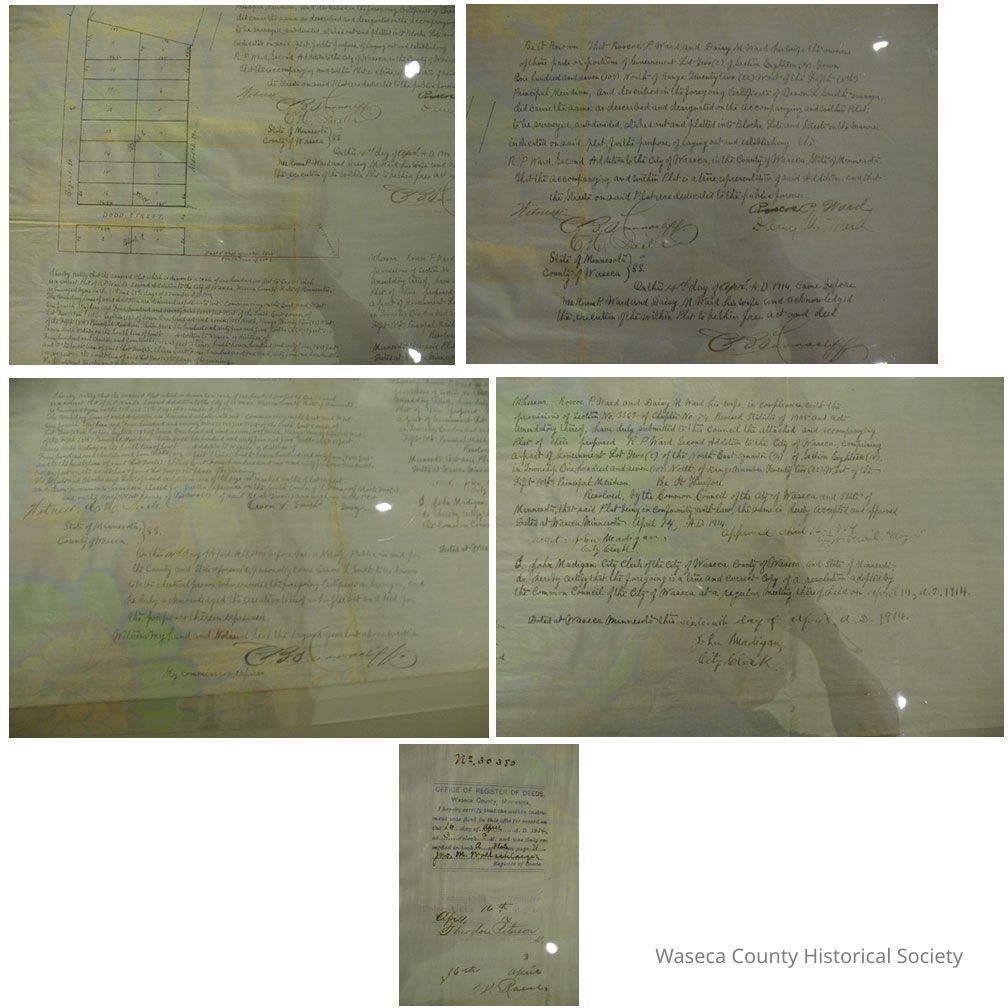
Waseca City Plat: 1914. Material: textile. Size: 21" W. x 39" L. Description: white linen manuscript plat map with black and red printed information; metes and bounds show streets, blocks and lots drawn by Orson L. Smith, County Surveyor; declarations and certifications signed by Roscoe P. and Daisy Ward, John Madigan, C.B. Turnacliff, E.W. Prail, Theodore Peterson, John Wollschlaeger.Context
Waseca. City. Cleaned and encapsulated 02/23/1989.Cataloged By
Legacy Photo ImportLexicon
Nomenclature 4.0
Nomenclature Secondary Object Term
MapNomenclature Primary Object Term
CartographNomenclature Sub-Class
Graphic DocumentsNomenclature Class
Documentary ObjectsNomenclature Category
Category 08: Communication ObjectsPublication Details
Author
Smith, O.L. (county surveyor)Date Published
Apr 14, 1914Create Date
February 27, 1989Update Date
November 21, 2024