Name/Title
MapEntry/Object ID
21.12.4Description
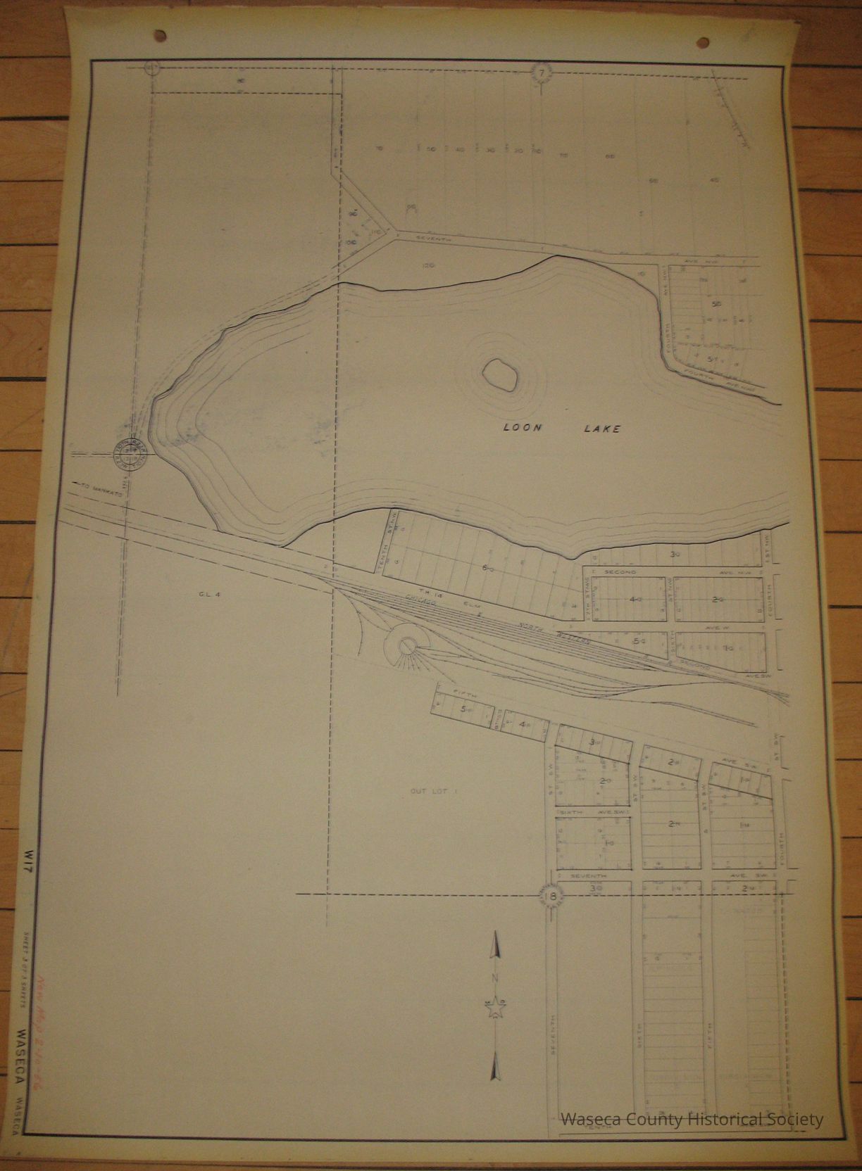
City of Waseca West Plat Including Loon Lake. Size: 24 3/4" x 36 1/4". Copy of drawing made by the Minnesota Highway Department during the 1930s, updated in 1956. Funded by the Works Progress Administration (WPA). The drawings represent towns in Minnesota which have roads financed and maintained by the Minnesota Department of Transportation. Waseca, MN.Context
Drawing made by the Minnesota Highway Department during the 1930s. Funded by the Works Progress Administration (WPA). The drawings represent towns in Minnesota which have roads financed and maintained by the Minnesota Department of Transportation. These maps were being disposed of during an office renovation in St. Cloud, MN and the donor rescued the maps and donated them to the WCHS Collection.Cataloged By
Legacy Photo ImportLexicon
Nomenclature 4.0
Nomenclature Secondary Object Term
MapNomenclature Primary Object Term
CartographNomenclature Sub-Class
Graphic DocumentsNomenclature Class
Documentary ObjectsNomenclature Category
Category 08: Communication ObjectsCreate Date
April 12, 2012Update Date
November 21, 2024