Name/Title
MapEntry/Object ID
1.12.160Description
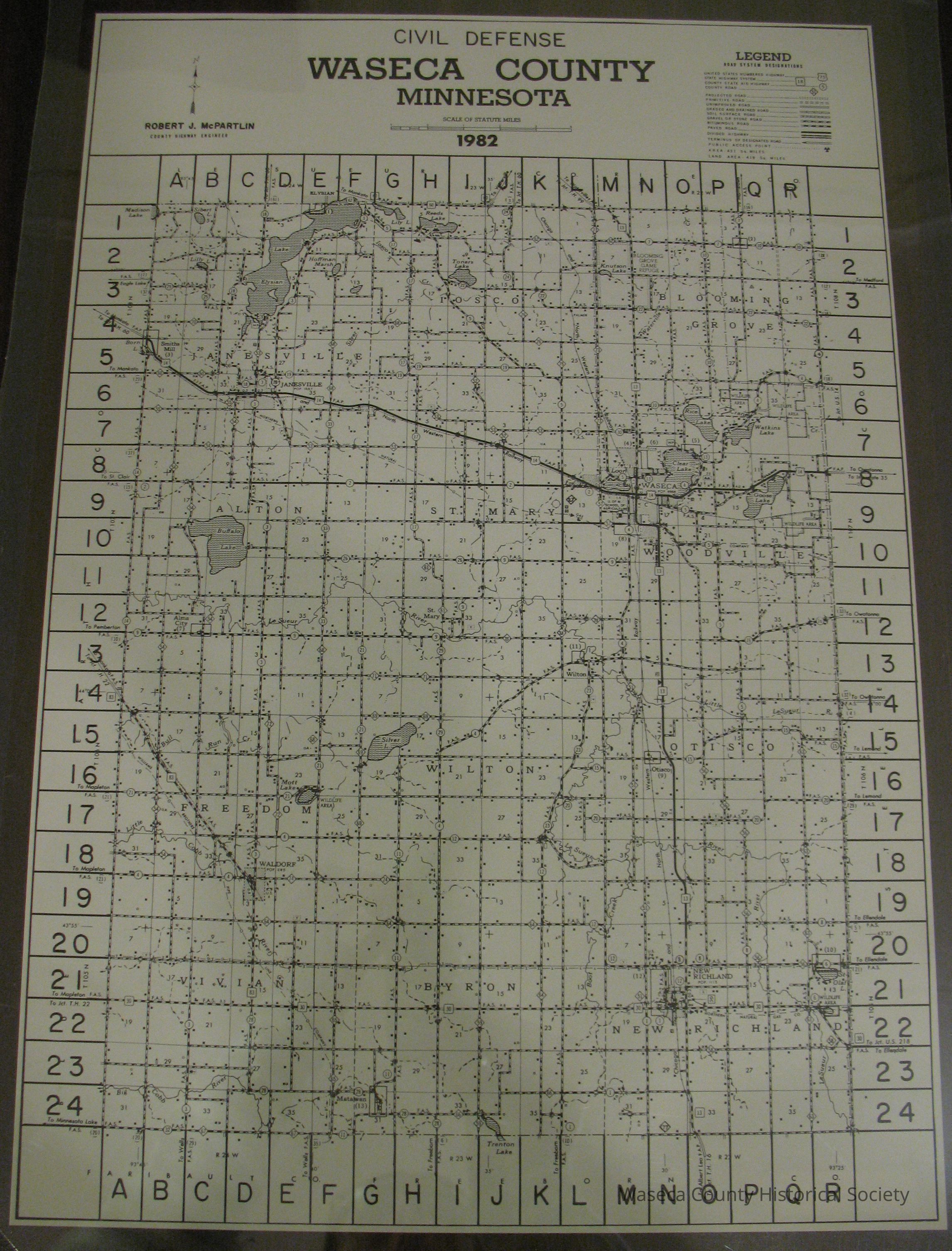
Civil Defense Map, Waseca County 1982. Material: paper. Size: 11 1/4" x 16 1/2". Description: white paper; black print; Robert McPartlin, County Highway Engineer; "Civil Defense Map, Waseca County Minnesota, 1982."Cataloged By
Legacy Photo ImportLexicon
Nomenclature 4.0
Nomenclature Secondary Object Term
MapNomenclature Primary Object Term
CartographNomenclature Sub-Class
Graphic DocumentsNomenclature Class
Documentary ObjectsNomenclature Category
Category 08: Communication ObjectsCreate Date
April 20, 2012Update Date
November 21, 2024