Name/Title
MapEntry/Object ID
106.86.49Description
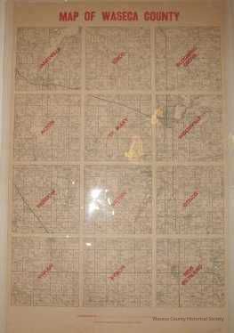
Waseca County map, 1900. Material: paper. Size: 22" W. x 34" L. Description: townships and communites map - red title at top: "Map of Waseca County" - red printed township names at each locationContext
Waseca County.Cataloged By
Legacy Photo ImportLexicon
Nomenclature 4.0
Nomenclature Secondary Object Term
MapNomenclature Primary Object Term
CartographNomenclature Sub-Class
Graphic DocumentsNomenclature Class
Documentary ObjectsNomenclature Category
Category 08: Communication ObjectsPublication Details
Publisher
Roberts Publishing Co.Create Date
November 1, 1988Update Date
November 21, 2024