Name/Title
MapEntry/Object ID
1.88.220cDescription
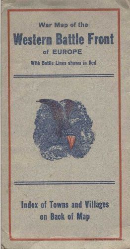
World War I Western Battle Front. Material: paper. Size: 3 3/4" x 7" (folded). Description: grey colored cover - blue print: "War map of the Western battle front of Europe with battle lines shown in red Index of towns and villages on back of map."Context
Waseca County Military - WWI. War Map of Western Battle Front. Belonged to David Hughes. He entered the service in June 1918 & was stationed in France in the 38th Infantry & fought in the Sedan sector. He was also with the Army of Occupation in Germany.Cataloged By
Legacy Photo ImportLexicon
Nomenclature 4.0
Nomenclature Secondary Object Term
MapNomenclature Primary Object Term
CartographNomenclature Sub-Class
Graphic DocumentsNomenclature Class
Documentary ObjectsNomenclature Category
Category 08: Communication ObjectsCreate Date
November 11, 2008Update Date
November 21, 2024