Name/Title
MapEntry/Object ID
1.89.2Description
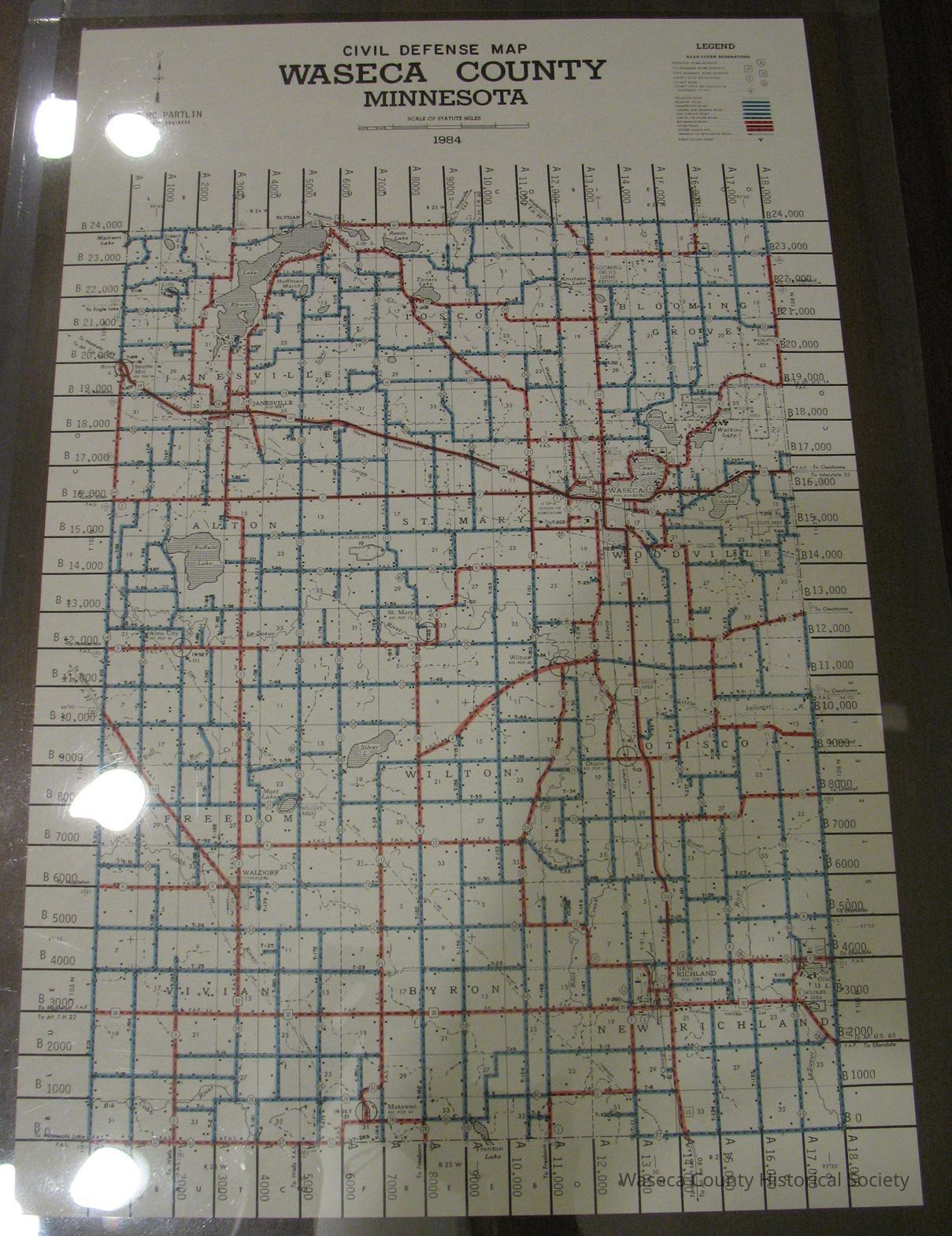
Waseca County Civil Defense Map - Road and Surface Map: 1984. Material: paper. Size: 11" W. x 16 3/4" L. Description: white paper map - black red and blue printed information shows roads and surface types for Waseca County.Context
Waseca County.Cataloged By
Legacy Photo ImportLexicon
Nomenclature 4.0
Nomenclature Secondary Object Term
MapNomenclature Primary Object Term
CartographNomenclature Sub-Class
Graphic DocumentsNomenclature Class
Documentary ObjectsNomenclature Category
Category 08: Communication ObjectsPublication Details
Author
McPartlin, Robert (Co. Hwy. Engr.)Create Date
January 6, 1989Update Date
November 21, 2024