Name/Title
Map, CemeteryEntry/Object ID
2596Description
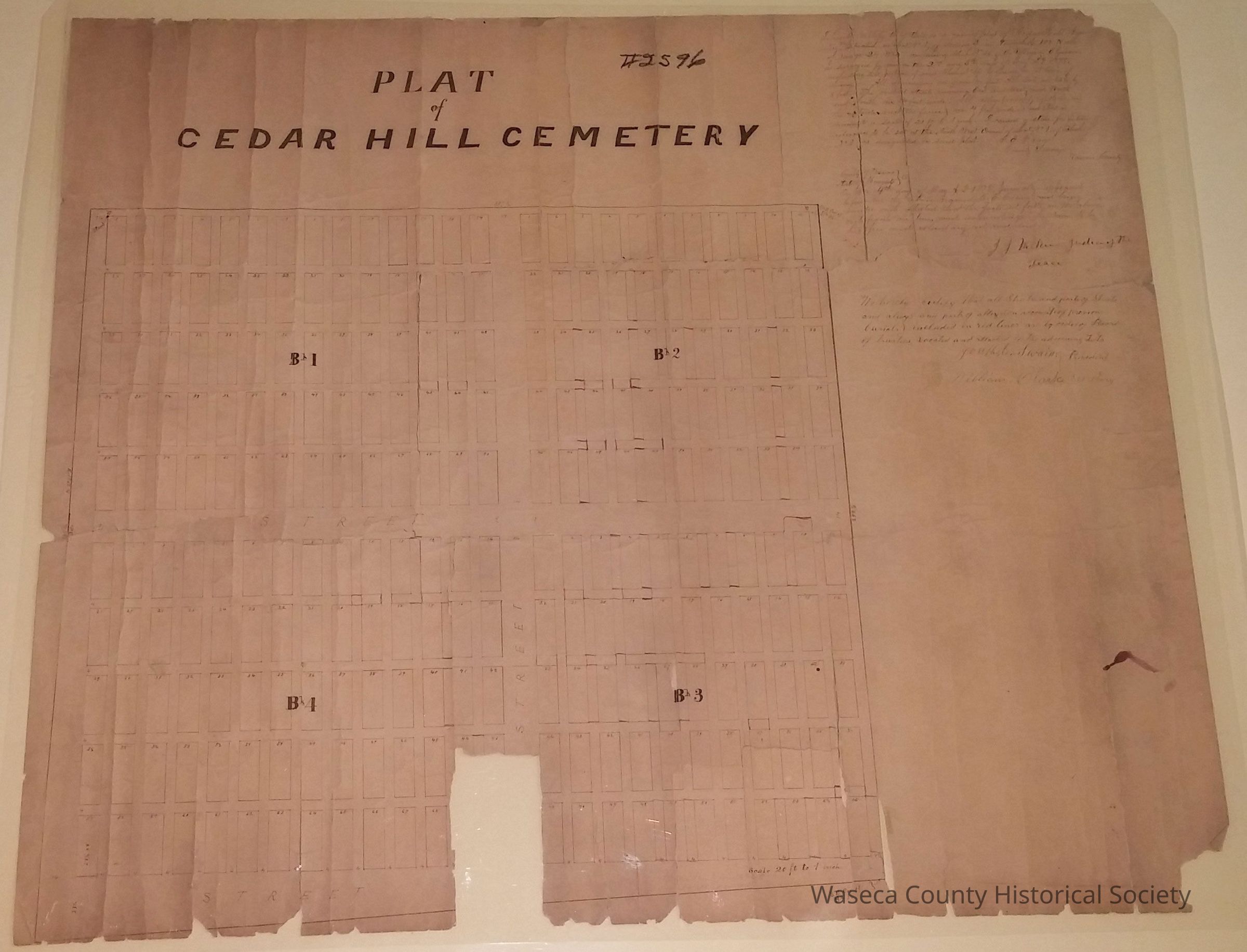
Cedar Hill Cemetery Map: 1878. Material: paper. Size: 22" W. x 25" L. Scale 1:20. Description: white paper; black print: "Plat of Cedar Hill Cemetery"; manuscript plat map of Janesville township and cemetery; blocks, numbered lots and streets; metes and bounds described by C.E. Crane, county surveyor; certification statements signed by J.J. Wilkins, Joseph C. Swain, and William Clarke. Handwriting in upper right corner: "I hereby certify that this is a correct plat of Cedar Hill Cemetery, situated on S at No 1 of Section 2 in Township 108 North of range 24 West. Comprising Block N. 36 of the Village of Elysian, as surveyed by me on the 2nd and 3rd days of May A.D. 1878..."signed by C.E. Crane, County Surveyor for Waseca County.Context
Janesville Township. Cleaned, mended with "Archival Aids" (Ademco) document repair tape, encapsulated 02/21/1989. Found in the courthouse basement.Cataloged By
Legacy Photo ImportLexicon
Legacy Lexicon
Object Name
Map, CemeteryClass
Documentary ArtifactCategory
Communication ArtifactsPublication Details
Author
Crane, C E. (county surveyor)Date Published
May 4, 1878Create Date
February 21, 1989Update Date
November 21, 2024