Name/Title
Print, PhotographicEntry/Object ID
1.98.589Description
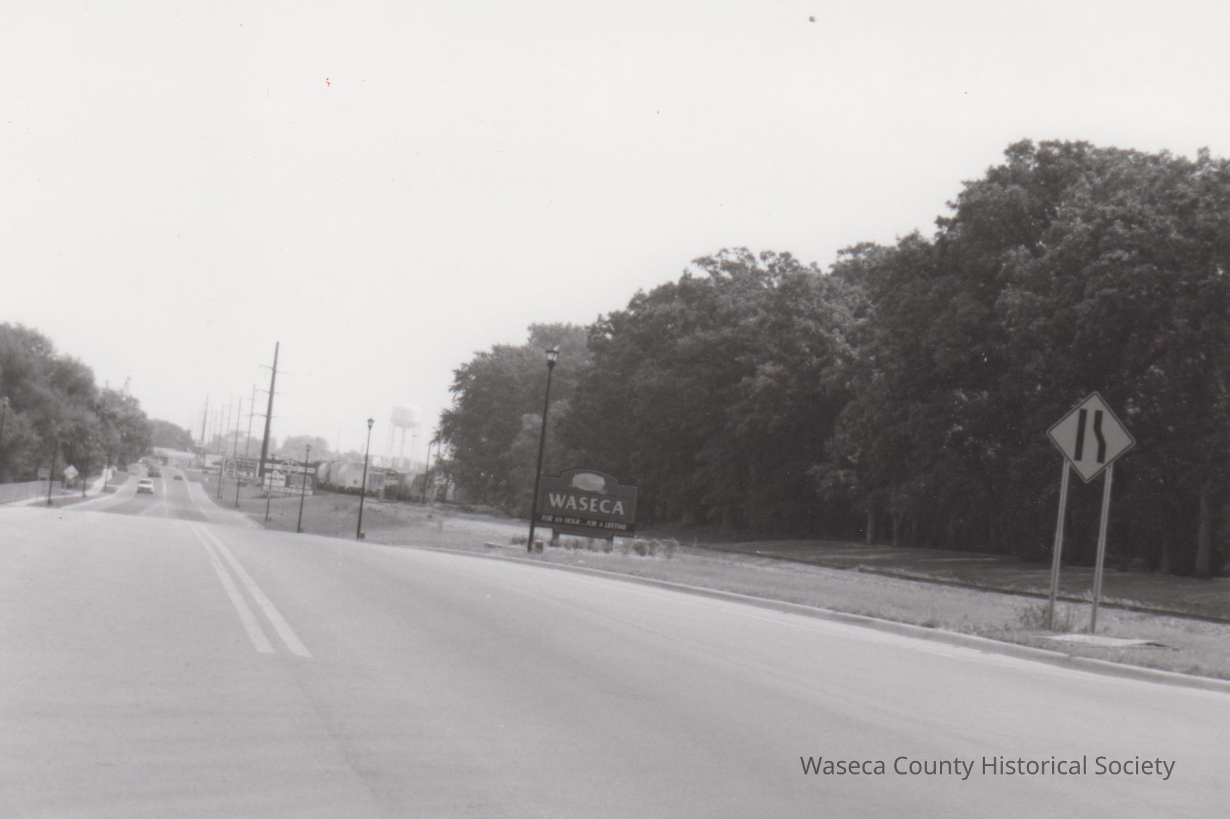
Highway 14 at 120th St. Material: paper. Size: 4" W. x 5 7/8" L. Description: black and white print - Highway 14 at 120th Street; railroad tracks, trees, a "Waseca" sign; the Southern Experiment Station located to the right of the tracks; in background is the water tower and a train.Context
Waseca City General Views. Corresponding positive (#1.98.589) & negative (#N.1.98.589). In August 1912, the University of Minnesota’s Board of Regents purchased 246 acres of land half a mile to the south and west of Waseca on the edge of the city limits. The Southeast Demonstration Farm and Experiment Station began operations in 1913. In 1925, the Southeast Demonstration and Experiment Station became the Southeast Experiment Station. In 1941, with an additional land purchase, the station totaled 598 acres. Land was set aside for the Southern School of Agriculture (SSA) which admitted its first students in 1953. In 1969, the Southern School of Agriculture evolved into the University of Minnesota Technical College-Waseca then it was renamed as the University of Minnesota-Waseca (UMW), sharing land with the newly named Southern Experiment Station (SES). In 1992, UMW graduated its final class and then the UMW campus buildings were sold to the Federal Bureau of Prisons. In 1999, the Southern Experiment Station became the Southern Research and Outreach Center (SROC).Cataloged By
vanessaLexicon
Nomenclature 4.0
Nomenclature Secondary Object Term
Print, PhotographicNomenclature Primary Object Term
PhotographNomenclature Sub-Class
Graphic DocumentsNomenclature Class
Documentary ObjectsNomenclature Category
Category 08: Communication ObjectsCreate Date
September 30, 1998Update Date
November 21, 2024