Name/Title
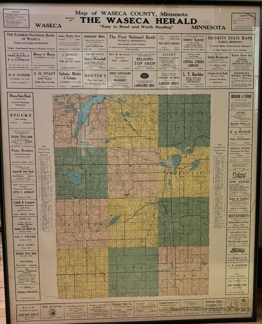
Waseca Co. Map 1926Entry/Object ID
2026.40.1Description
The image displays a detailed vintage 1926 map of Waseca County, Minnesota, produced by The Waseca Herald newspaper, featuring various advertisements for local businesses such as banks and shops around the borders. The map itself is a colorful grid showing the layout of the county, with lakes and roads prominently marked. Different colored sections highlight various townships or land areas within the county.Cataloged By
PfenLexicon
Nomenclature 4.0
Nomenclature Secondary Object Term
MapNomenclature Primary Object Term
CartographNomenclature Sub-Class
Graphic DocumentsNomenclature Class
Documentary ObjectsNomenclature Category
Category 08: Communication ObjectsCreate Date
October 8, 2026Update Date
October 8, 2026