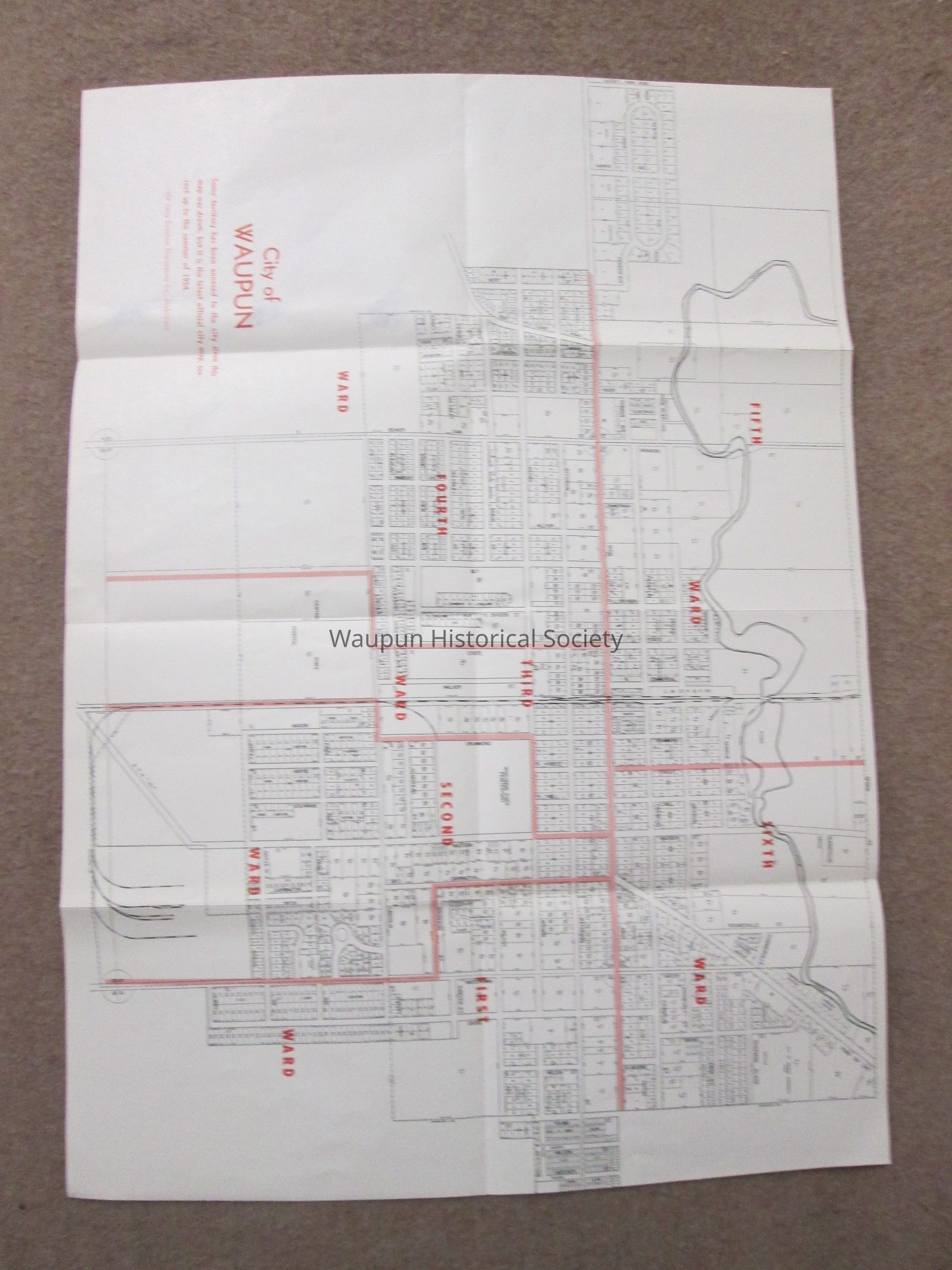
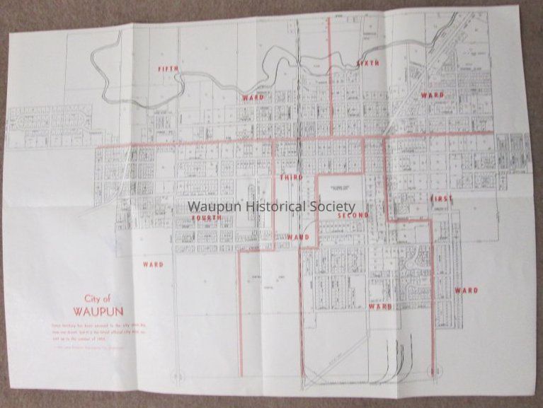
Name/Title
Map - City of Waupun 1954Entry/Object ID
2016.0060.0003Scope and Content
City of Waupun latest official city map, correct up to summer 1954. Indicates that some territory had been annexed to the city since this map was drawn. Map shows streets, sub-division names, parcels and outlines the six wards.
This was included in the Waupun City Directory of 1960.Acquisition
Accession
2016.0060Source or Donor
Mr. David HoppAcquisition Method
Donation