HUB
Collections
Classifications
About
App
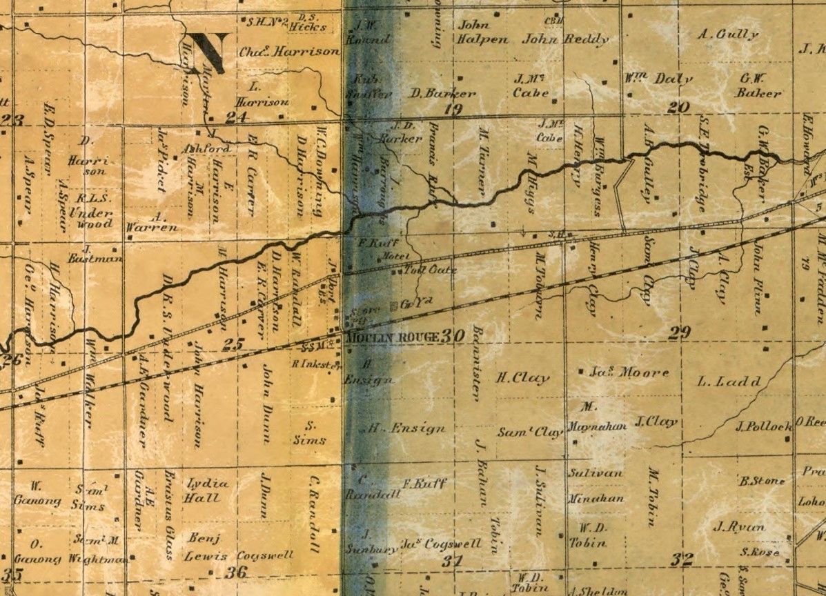
1860 Atlas Map of Inkster
Photograph
-
Wayne Historical Museum
1860
Name/Title
1860 Atlas Map of Inkster
Description
1860 Atlas Map of Inkster
Context
1860 Atlas Map of Inkster, called Moulin Rouge at the time. National Archives. https://www.loc.gov/resource/g4113w.la000364/?r=0.299,0.314,0.151,0.095,0
Cataloged By
Tyler Moll