Name/Title
Atlas maps of Beverly, Manchester and WenhamEntry/Object ID
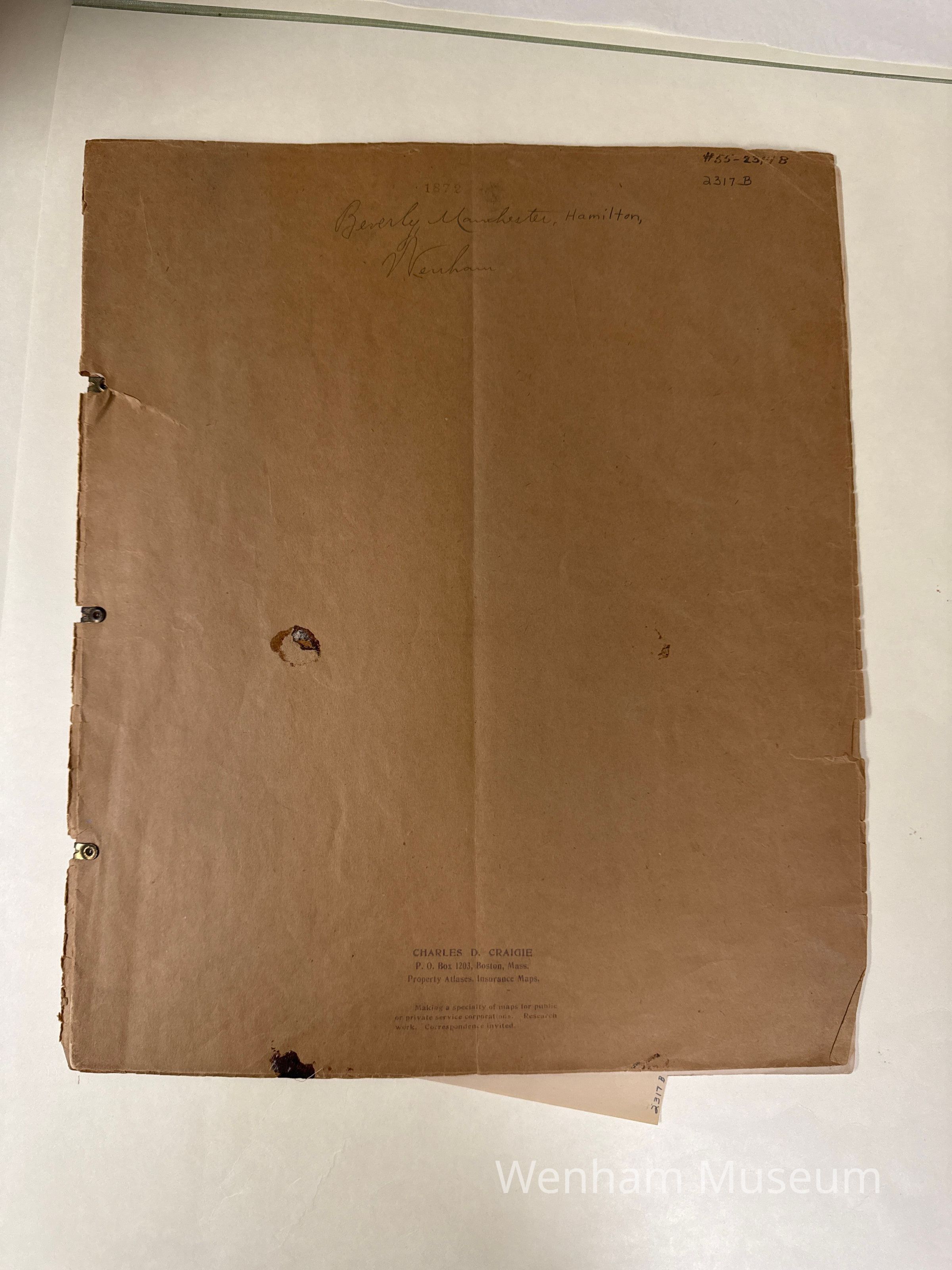
2317BDescription
Atlas Maps from the 19th century showing the towns of Beverly (including Beverly Farms and Beverly Cove as insets), Hamilton, Manchester and Wenham. Homes are indicated with the homeowner noted. Also public buildings and physical features are on the map. There is a subscribers business directory on the Beverly and Wenham maps. In addition to the atlas maps there are two other maps added to this cover - one of Hamilton and another of Wenham.
Card: 16 1/2 X 14. Property atlases, insurance maps from Beers Atlas of 1872, Beverly, Manchester, Wenham, encased in brown paper.