Name/Title
Crooked Creek North: 46LG215, Archaeological SiteEntry/Object ID
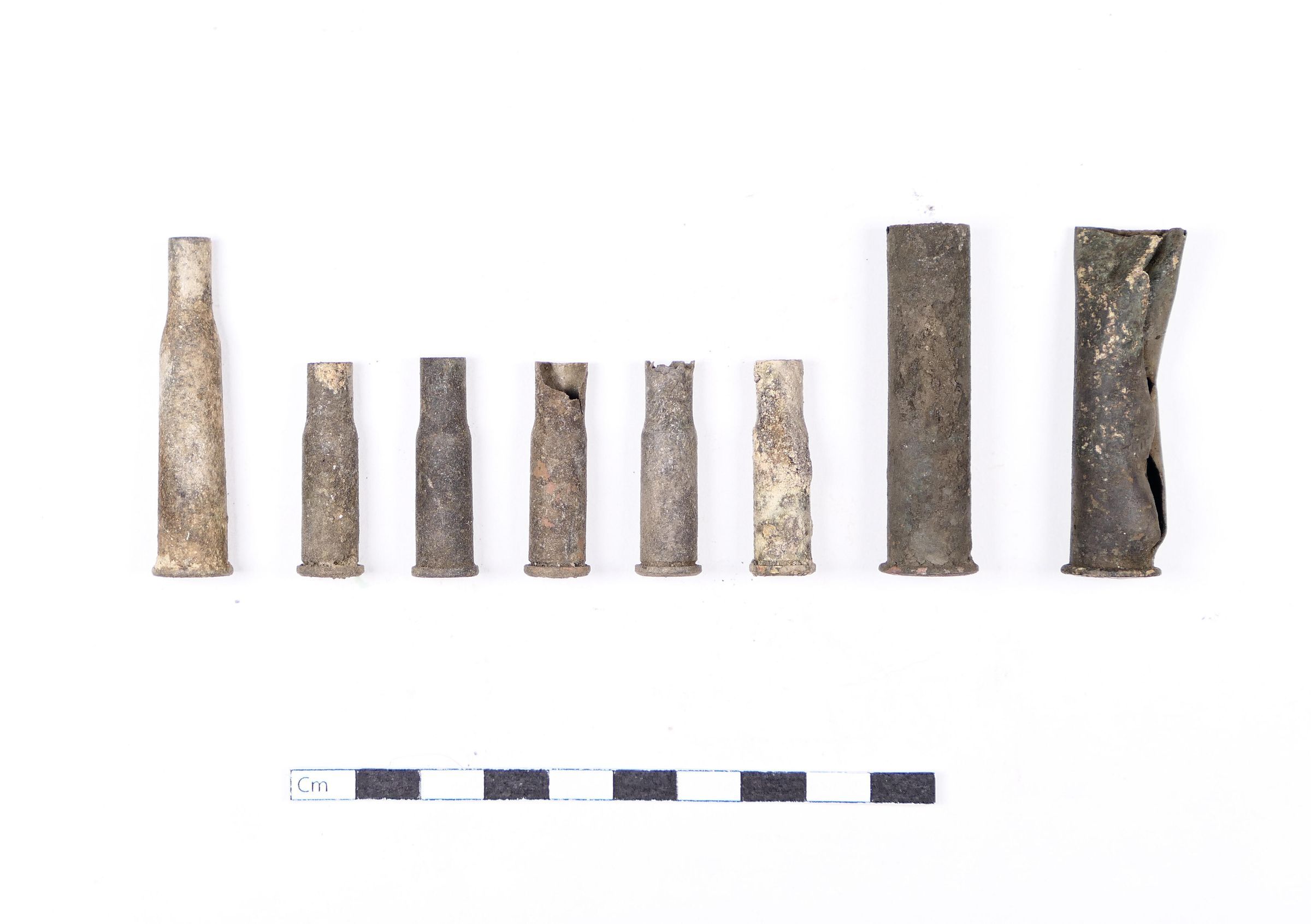
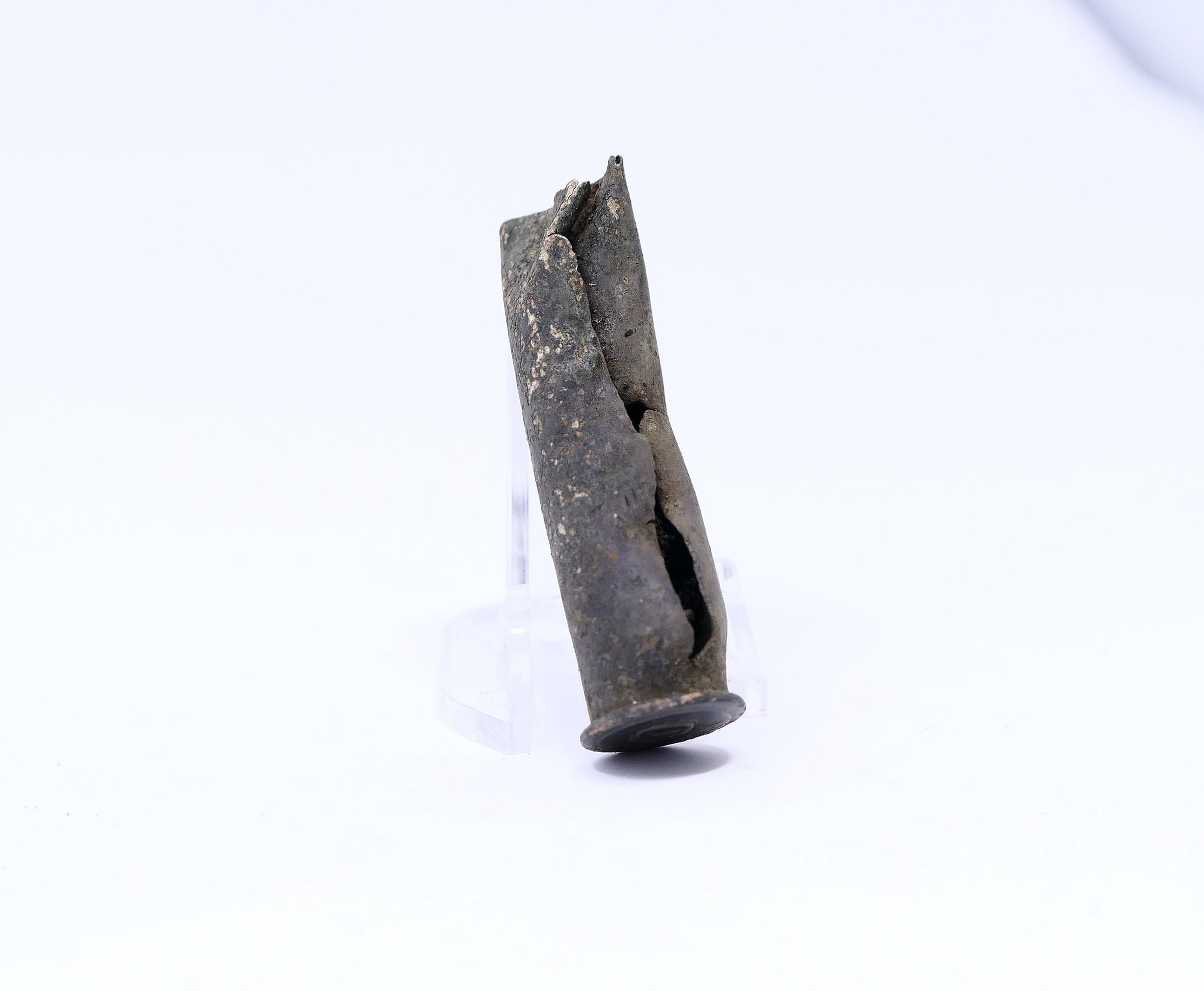
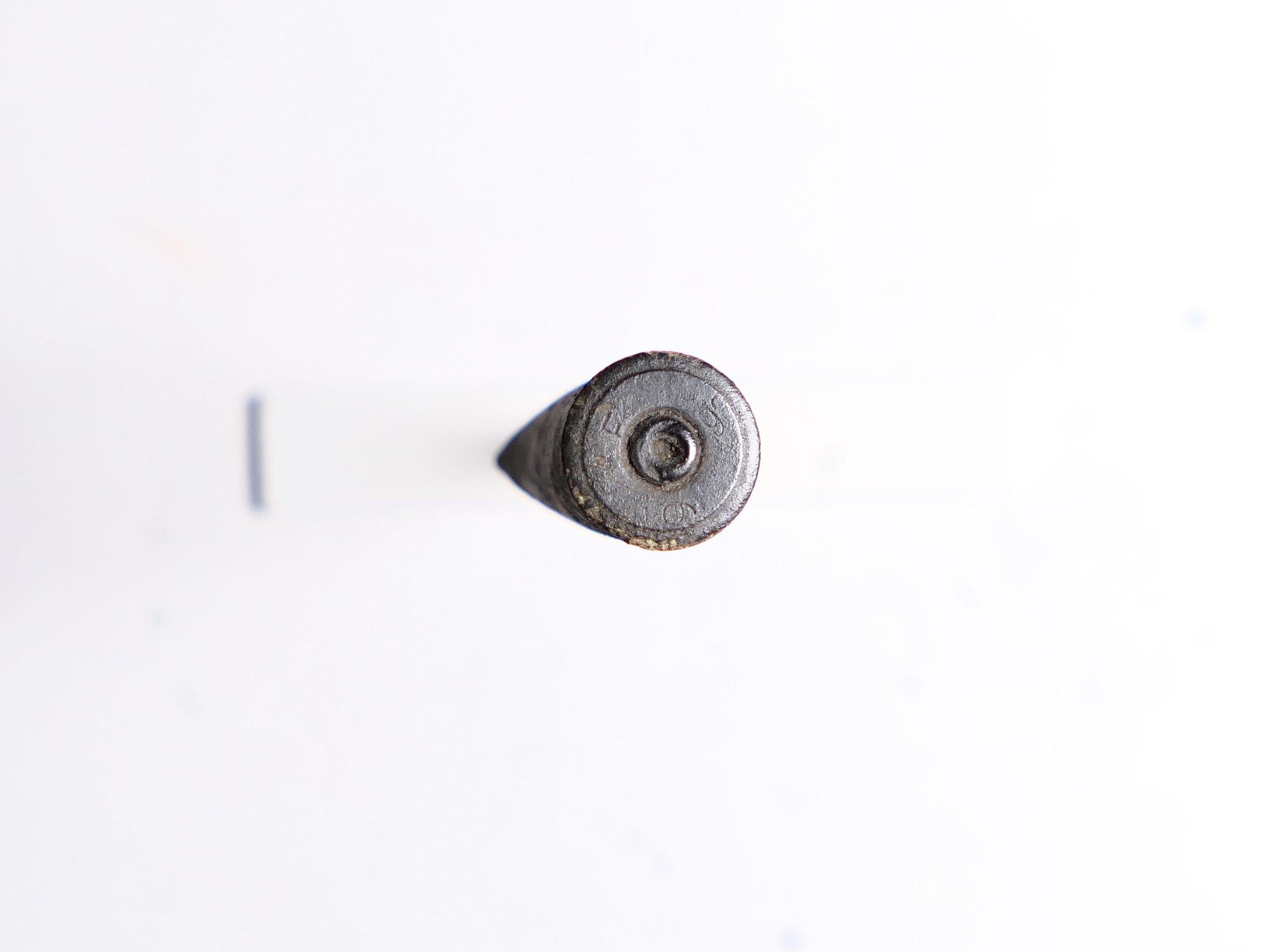
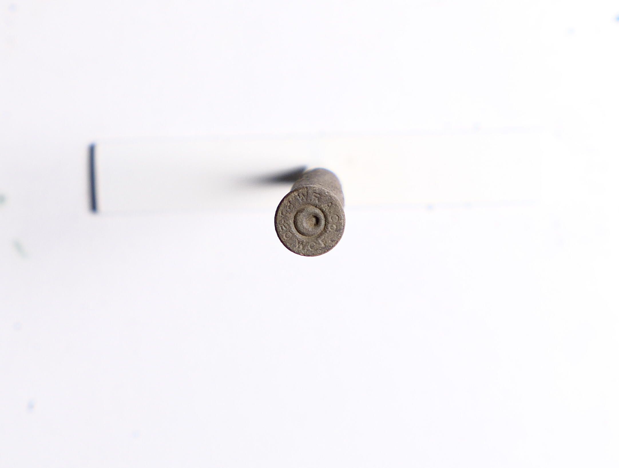
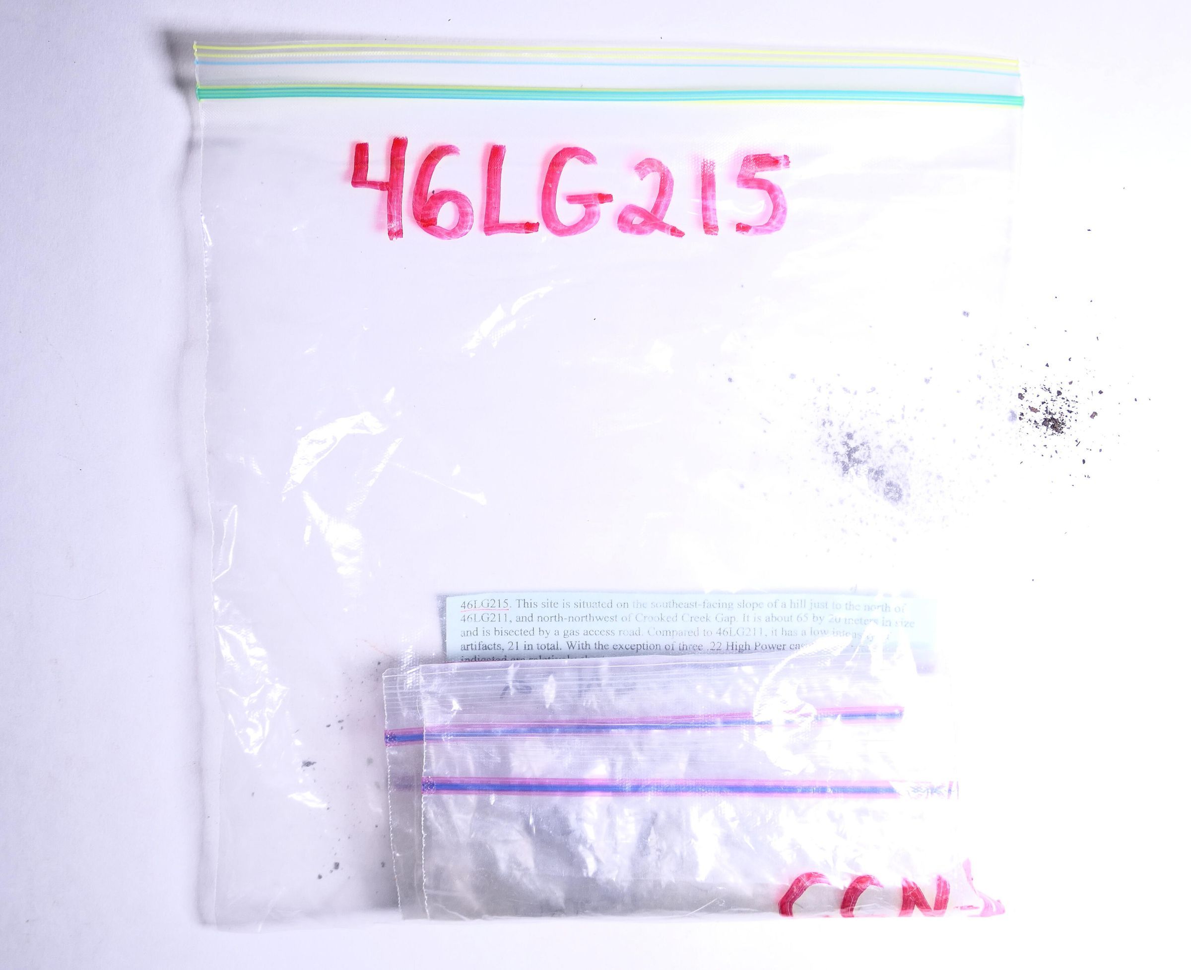
CCN2.46LG215.06Description
Eight (8) casings, representing three calibers. This site, CCN2, was later collapsed into one site with CCN1. Analysis of the total collection indicates a range of calibers that suggests a long-range fire position was established here as a defensive site.Context
"This site is situated on the southeast-facing slope of a hill just to the north of 46LG211, and north-northwest of Crooked Creek Gap. It is about 65 by 25 meters in size and is bisected by a gas access road. Compared to 46LG211, it has a low intensity of artifacts, 21 in total. With the exception of the three .22 High Power casings, the weapons indicated are relatively short range. A total of three spent bullets indicates incoming shells, a relatively high percentage of the total artifacts. As mentioned above, this site faces the same Craddock Fork tributary as several other sites including 46LG211."
(Ayers team, 2006)Collection
Blair Mountain ArchaeologyRelationships
Related Person or Organization
Person or Organization
Blair Mountain Archaeology GroupRelated Places
Place
Location
Crooked Creek: NorthRegion
Blair Mountain Battlefield, Southeast, Crooked Creek AreaContinent
North AmericaRelated Events
Event
Battle of Blair Mountain (1921)Provenance
Provenance Detail
Archaeological FindNotes
5/21/2006