Name/Title
Crooked Creek South: 46LG214, Archaeological SiteEntry/Object ID
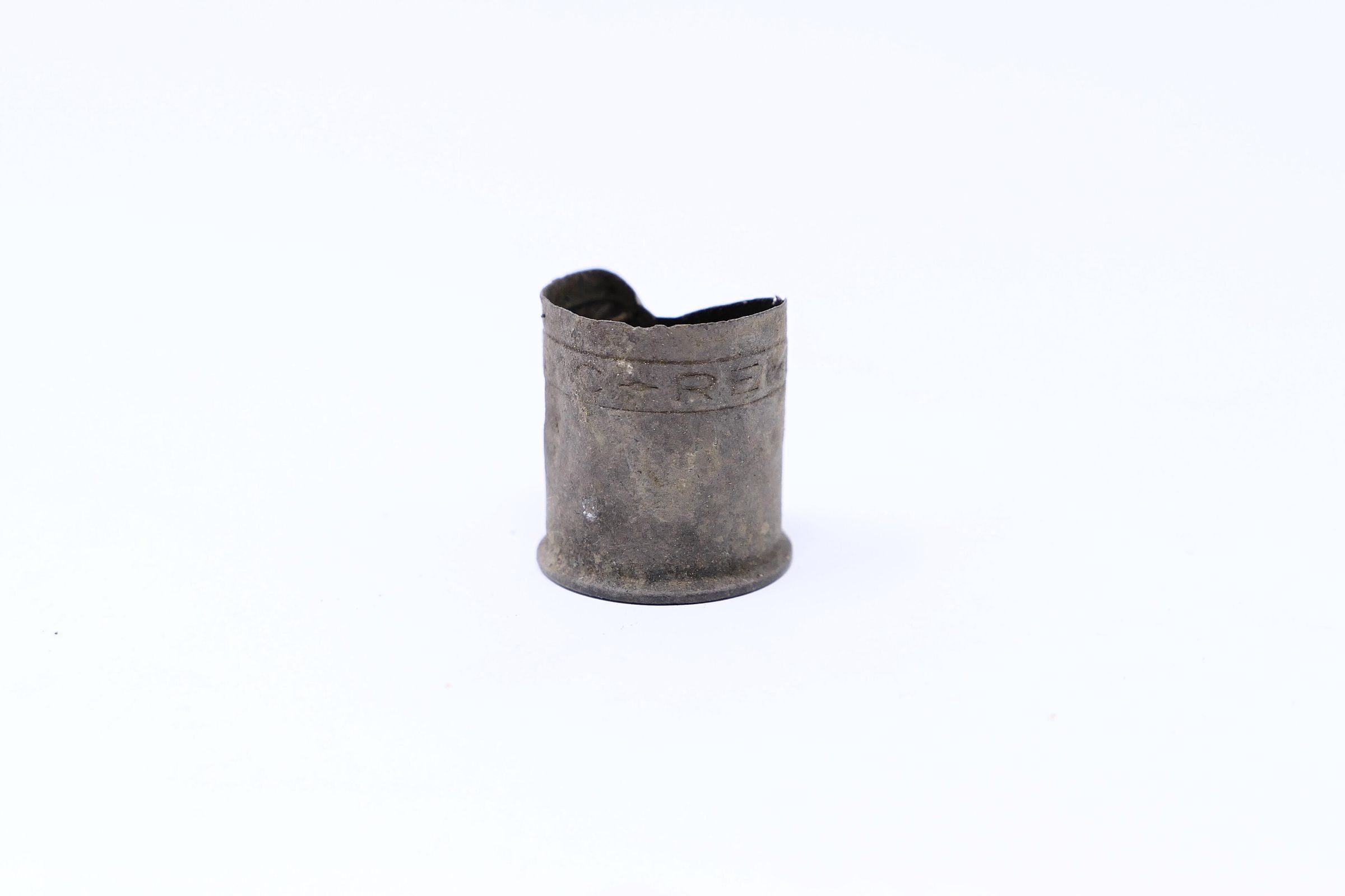
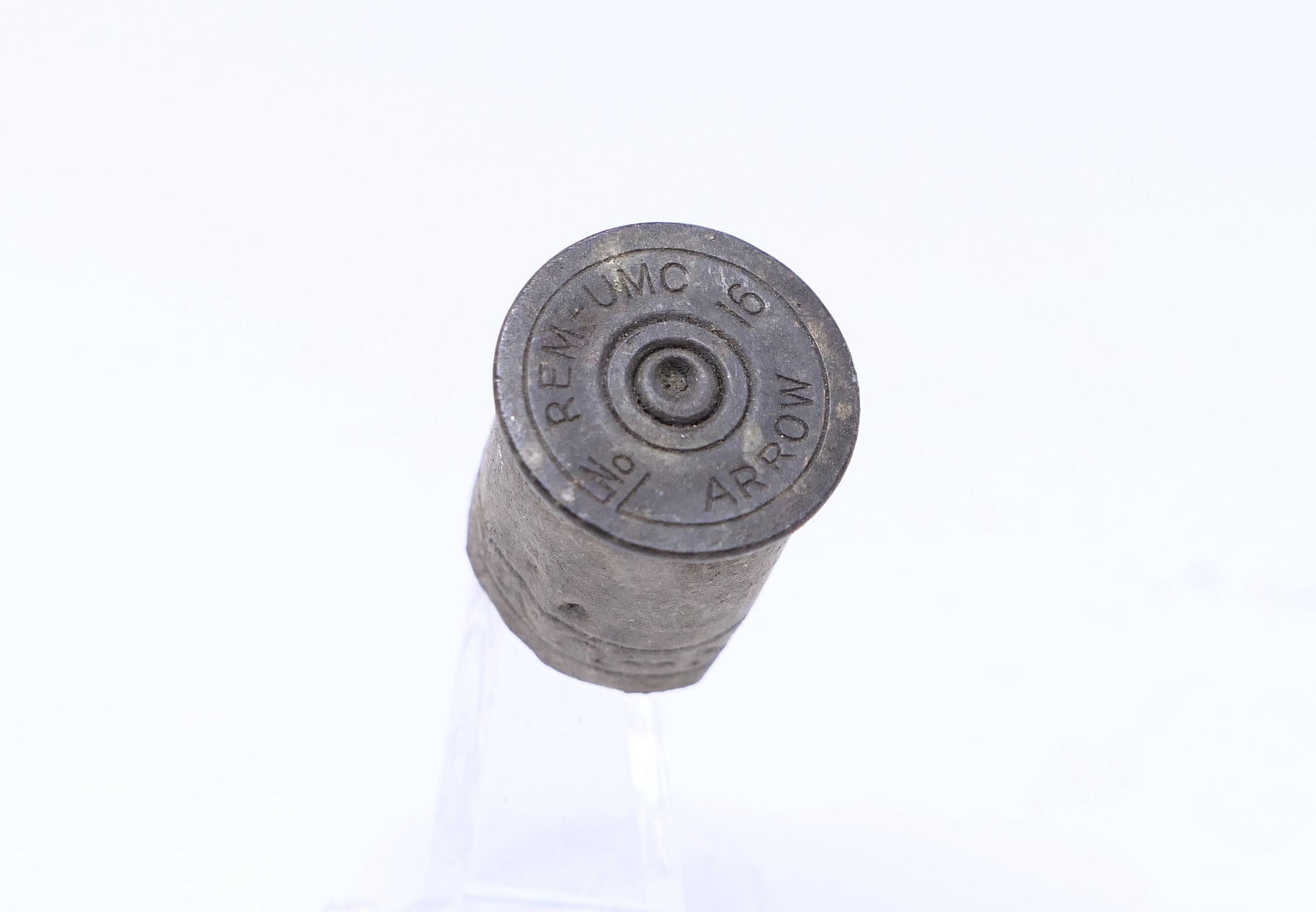
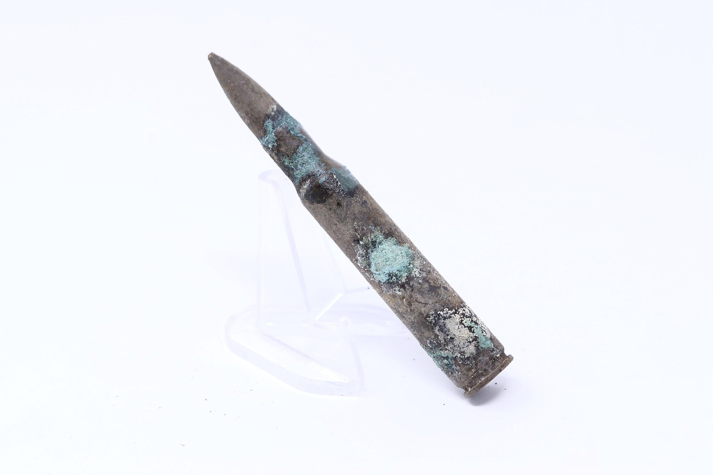
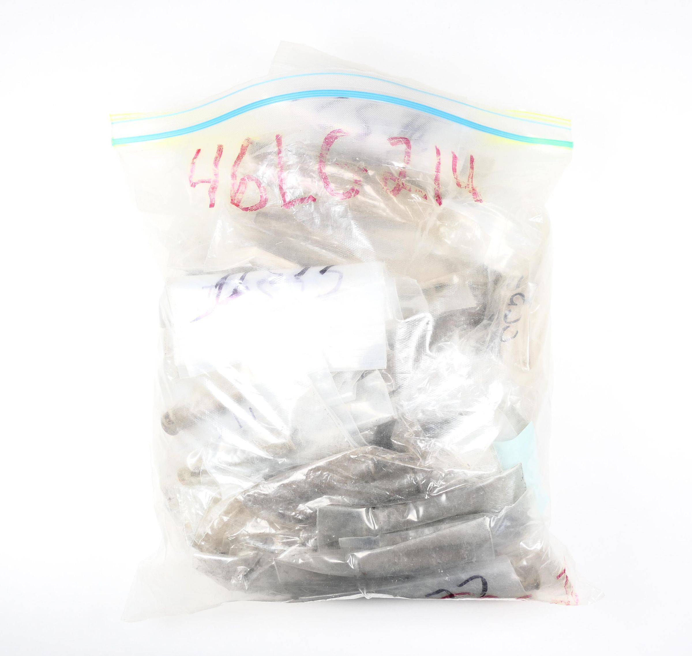
CCS2.46LG214.06Description
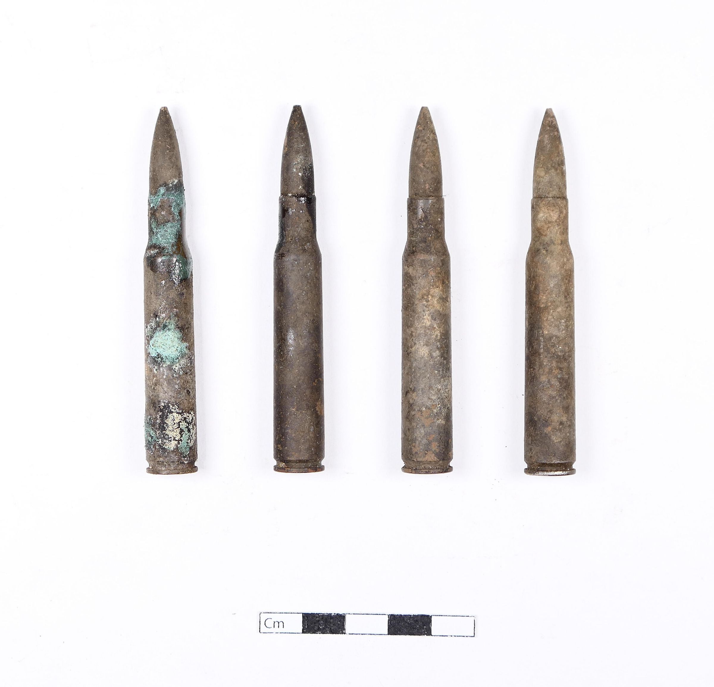
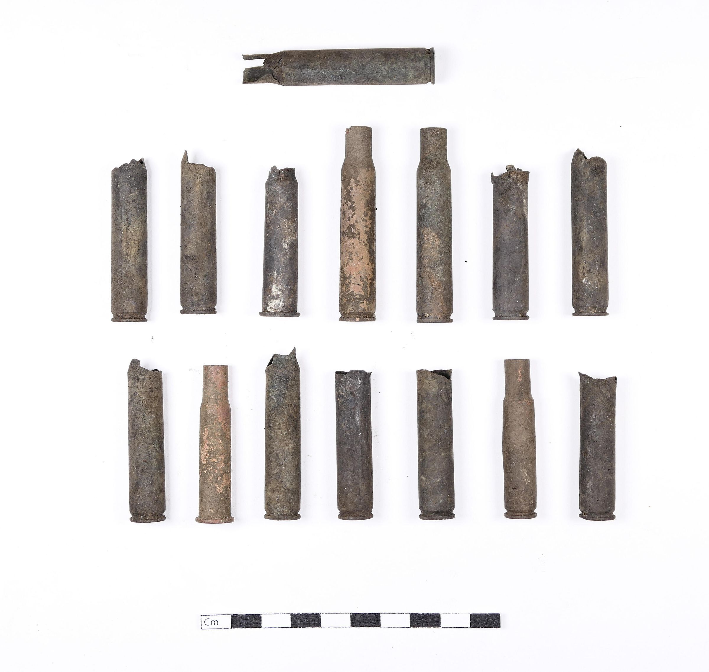
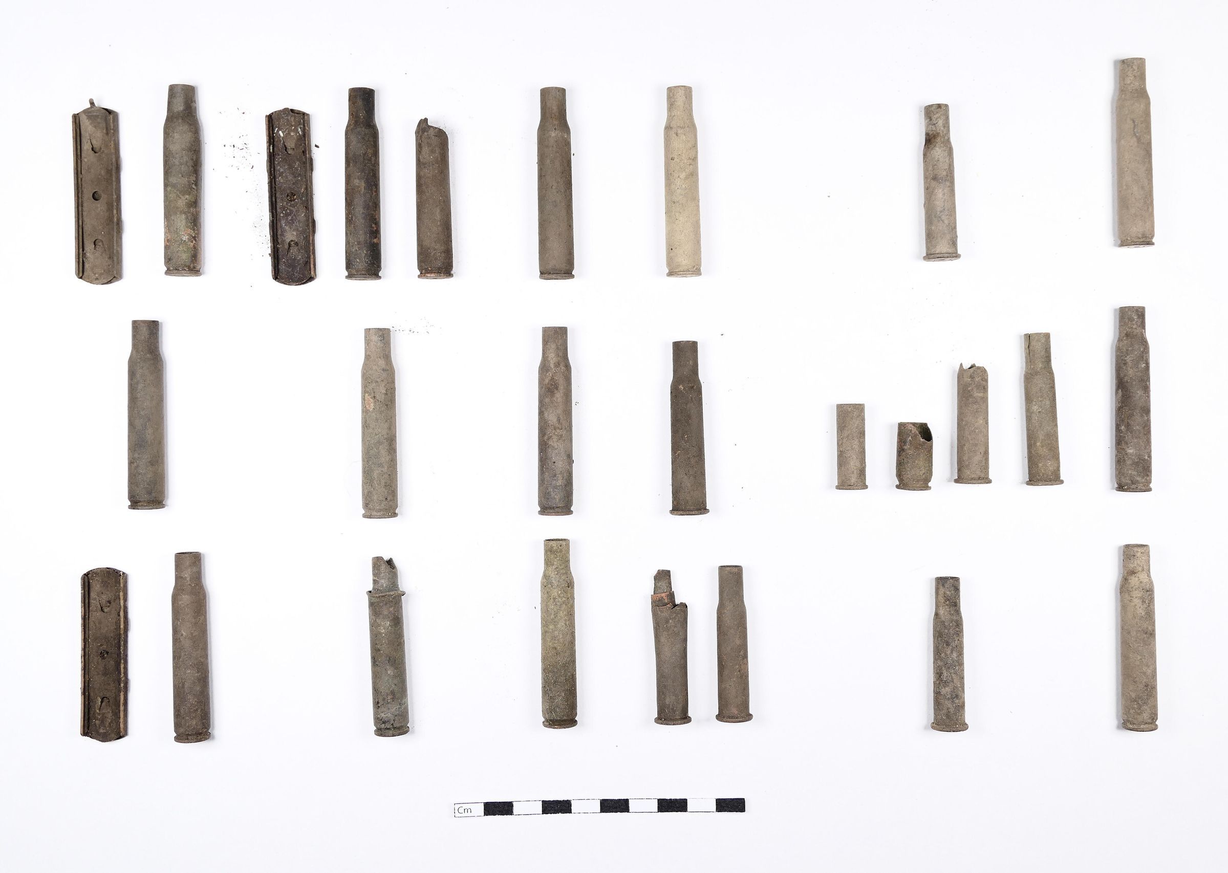
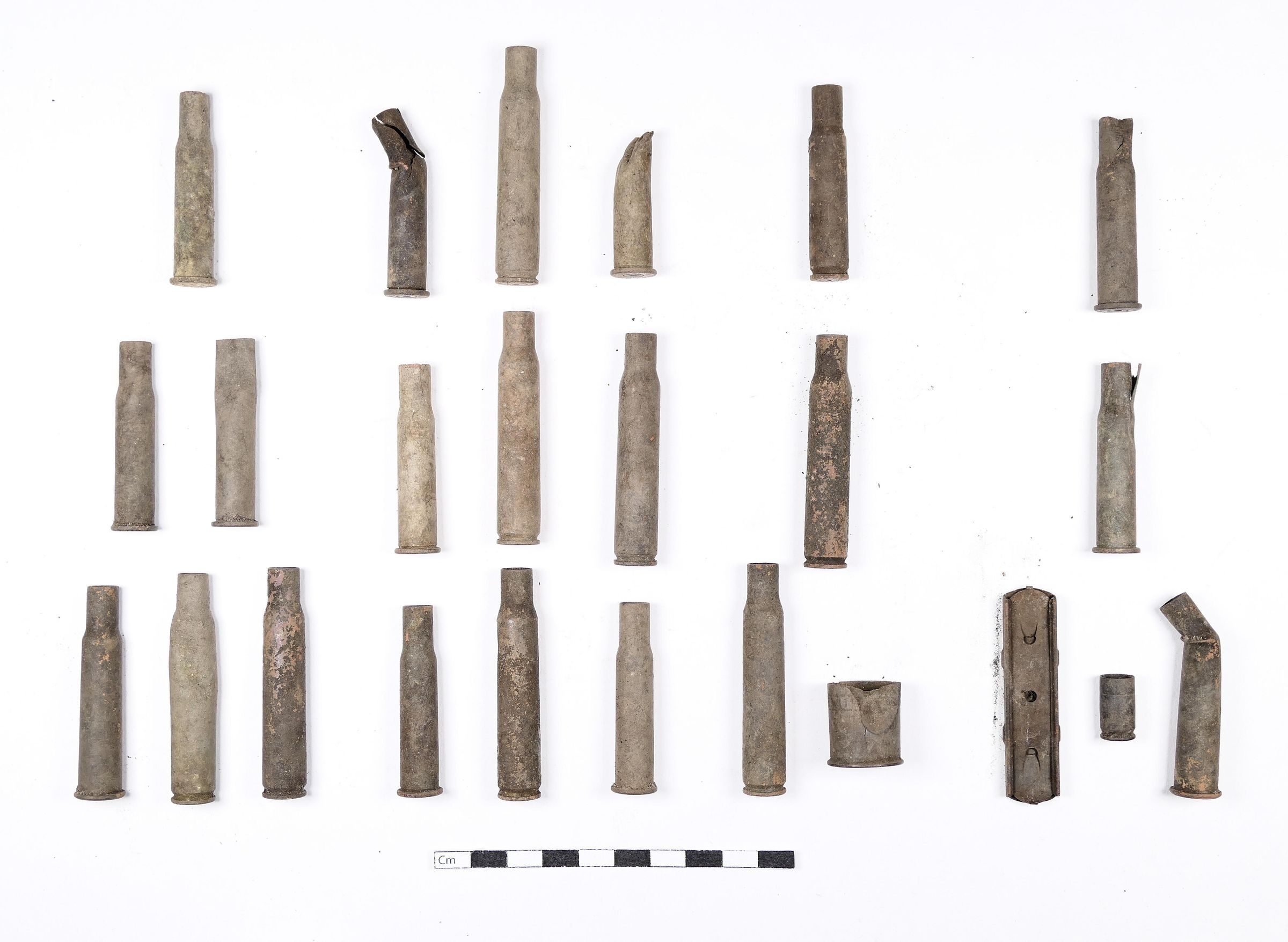
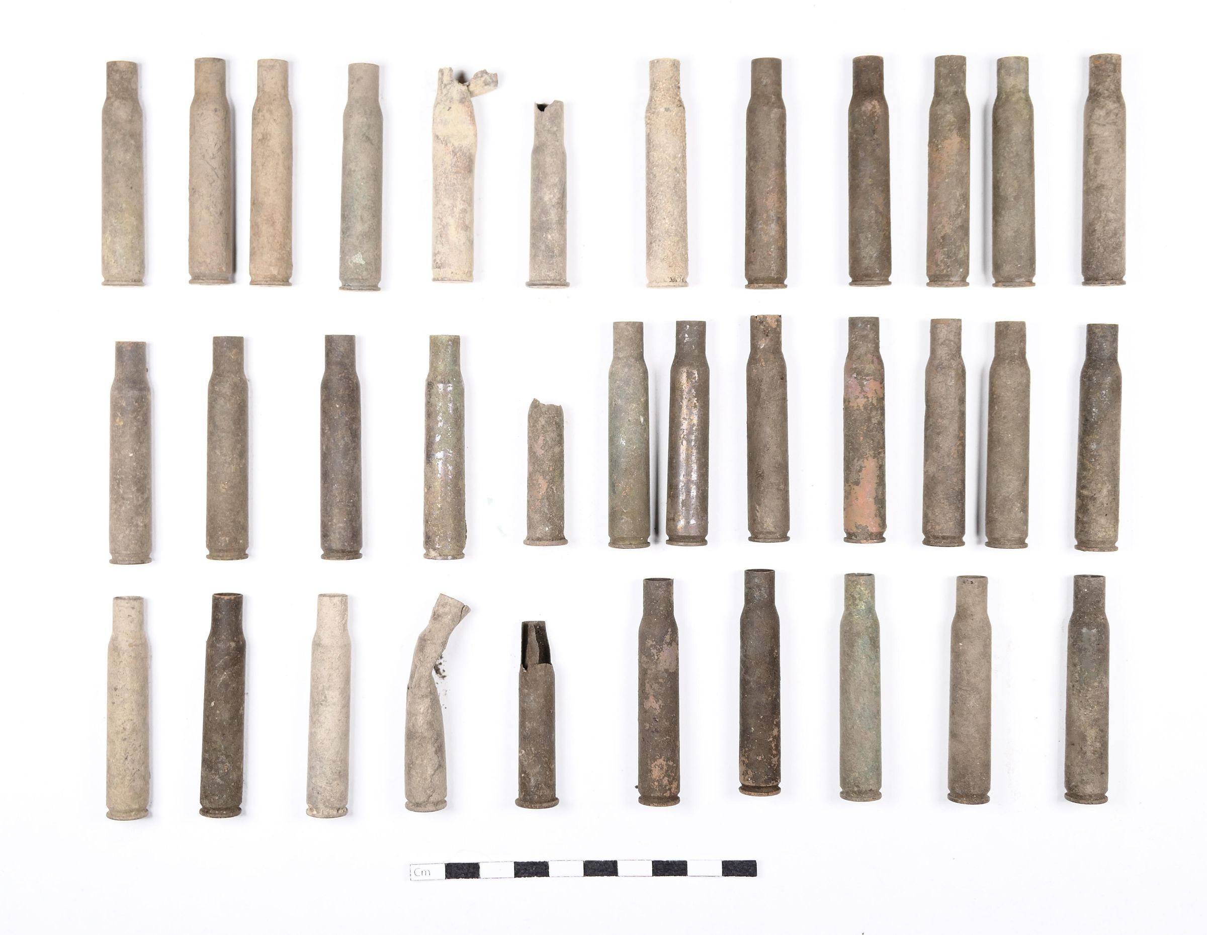
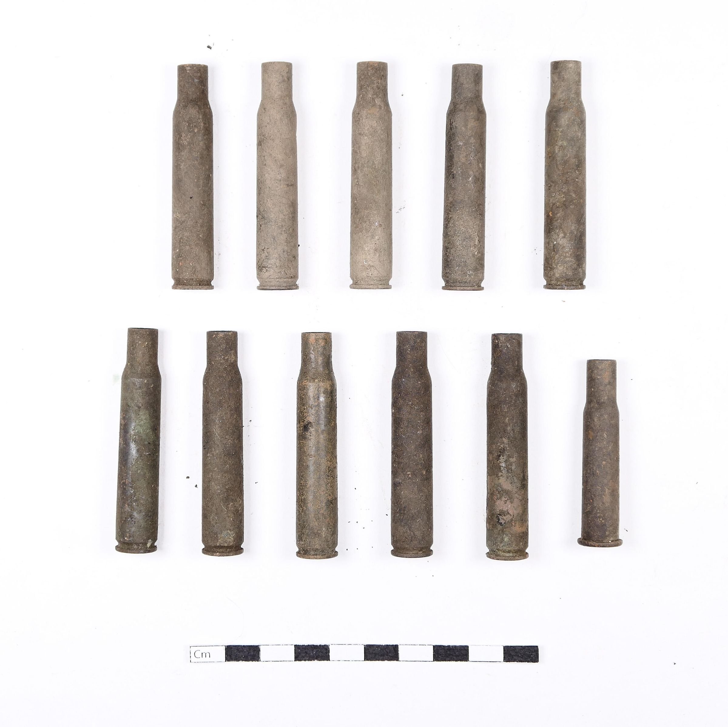
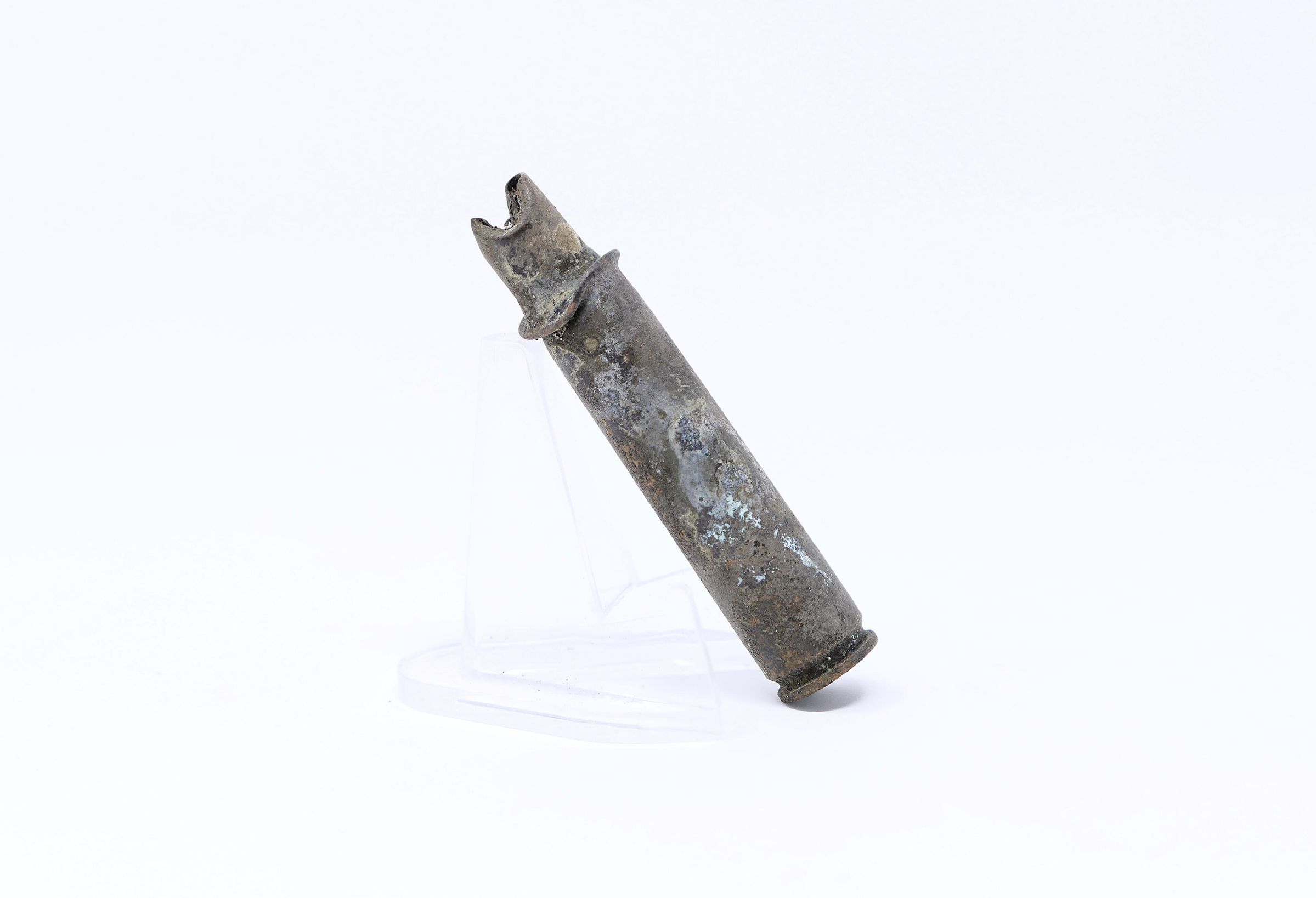
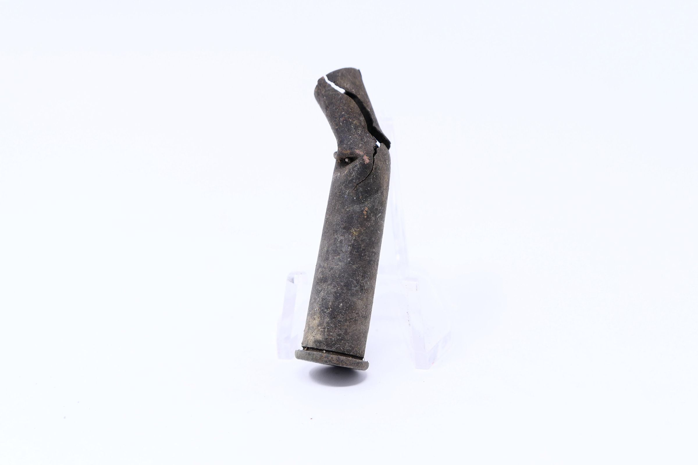
Part of a large southern flank at Crooked Creek Gap, CCS1 and this site, CCS2, are located along a crest at the highest point in the Crooked Creek Area (610 meters above sea level, valley bottom 200m). The total number of items found is 162, overwhelmingly .30-06 casings. One .45-70 bullet found (not included here) suggests, by it's range, that the miners would have been within 1000m of this position.
Notes from the Ayers team note only about half of the items contained in this collection, digs were conducted on two days one month apart: 6/3/2006 and 7/3/2006Context
"This site is situated near the top of a ridge to the south of Crooked Creek Gap. It overlooks the head of a tributary of Craddock Fork. It is 70 by 25 meters in extent. Like 46LG211, it is composed of two concentrations of artifacts, one small and one large, in this case separated by about 50 meters. A total of 42 artifacts were documented at this site, 40 casings and two spent bullets. A preponderance of the casings was composed of .30-06's (20) The site faces the northeast and the defenders would have fired either at Crooked Creek Gap (although that would have been at the extremes of weapon accuracy), but more likely toward the Craddock Fork tributary which is very close."
(Ayers team, 2006)Collection
Blair Mountain ArchaeologyRelationships
Related Person or Organization
Person or Organization
Blair Mountain Archaeology GroupRelated Places
Place
Location
Crooked Creek: SouthRegion
Blair Mountain Battlefield, Southeast, Crooked Creek AreaContinent
North AmericaProvenance
Provenance Detail
Archaeological FindNotes
6/3/2006 and 7/3/2006