Name/Title
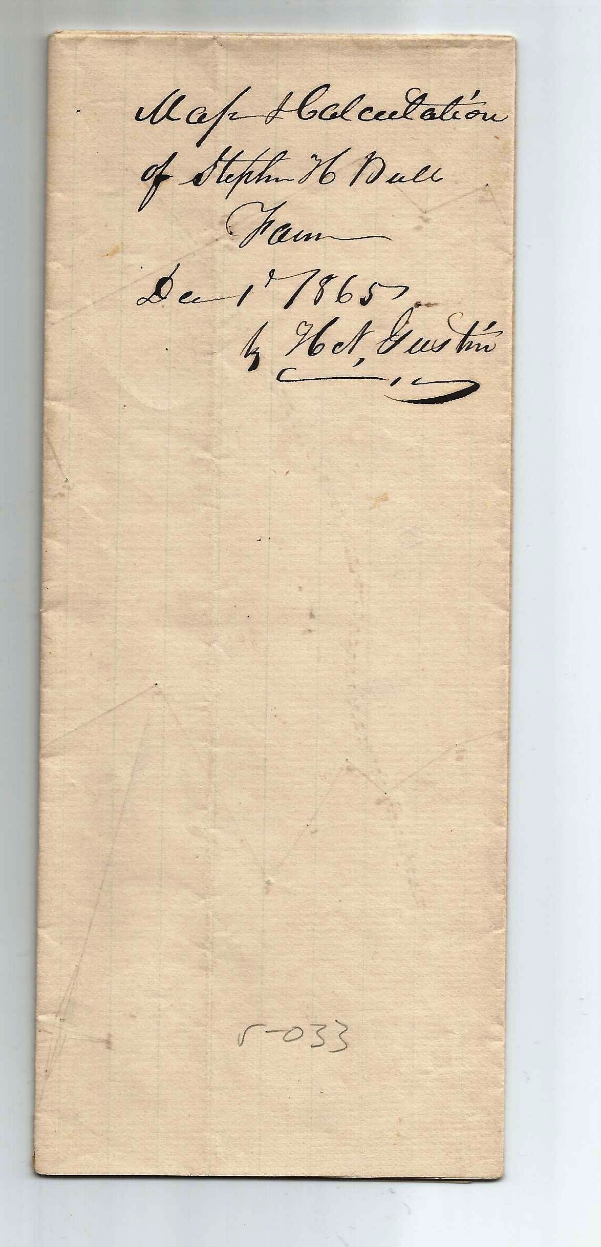
Stephen H Bull Dec 1, 1865 Survey CalculaltonsEntry/Object ID
001894Tags
Stephen H BullScope and Content
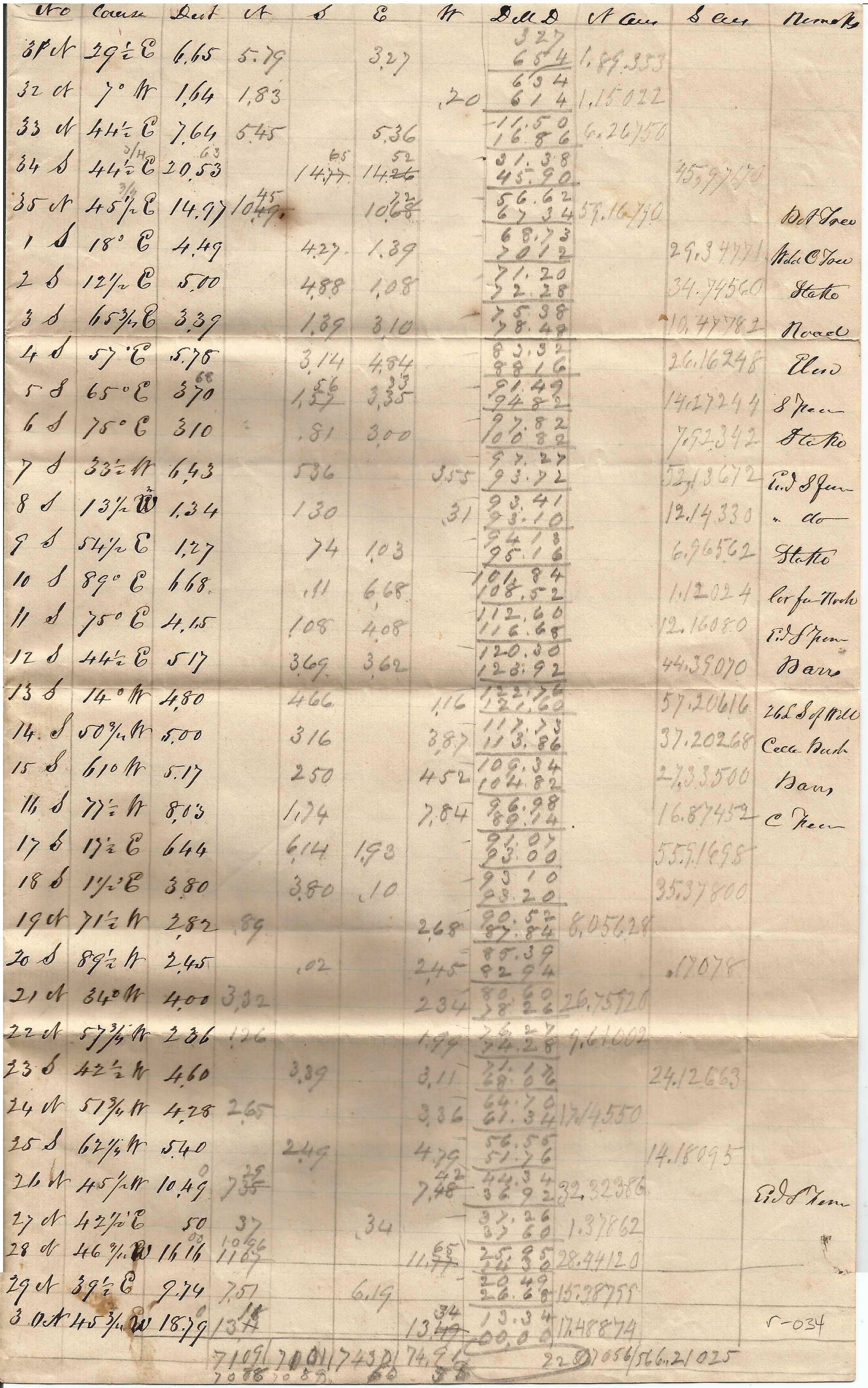
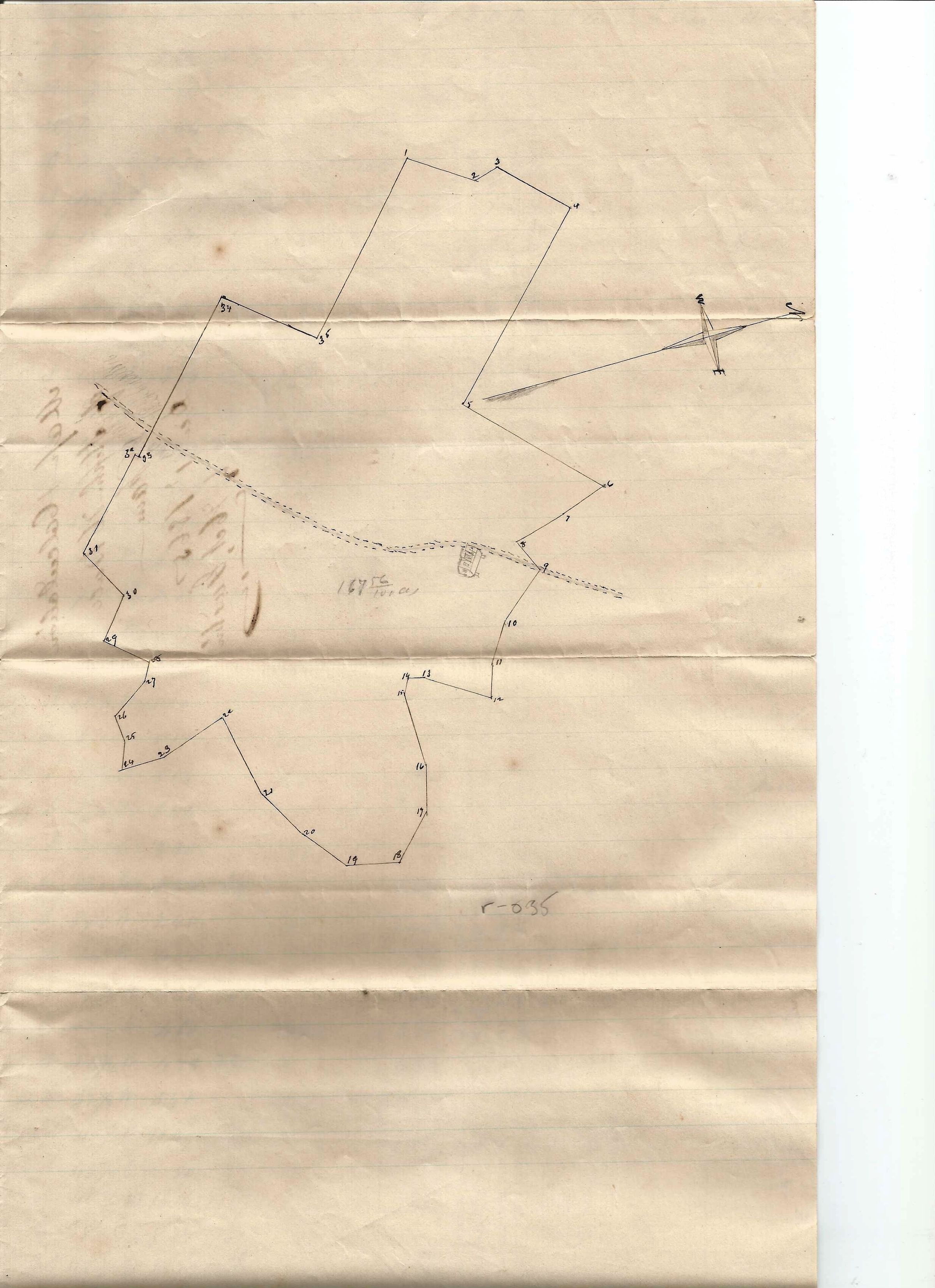
This is a 19th-century land surveying log (likely a "Field Note" or "Metes and Bounds" calculation sheet).
While it looks like a ledger, the data points reveal it is a record of physical measurements taken to map out a boundary or a plot of land. Here is a breakdown of what the columns represent:
Key Evidence for Land Surveying
The Second Column (Bearings): Notice the entries like 2921∘ E, 7∘ W, and 4421∘ E. These are compass bearings used to indicate the direction the surveyor was walking.
The Third Column (Distances): The numbers following the bearings (6.65, 1.64, 7.64) are distances. In 1894, these were likely measured in Chains (one chain is 66 feet) or Rods.
Calculations (N,S,E,W): The columns labeled N,S,E, and W stand for North, South, East, and West. These are "latitudes and departures"—trigonometric calculations used to convert a diagonal line (the bearing and distance) into a grid-based coordinate.
The "Remarks" Column: On the far right, you see notes like "Stake," "Stone," "B. Oak" (Black Oak), and "P. Pine." These refer to physical markers in the landscape used to denote corners of the property.