Name/Title
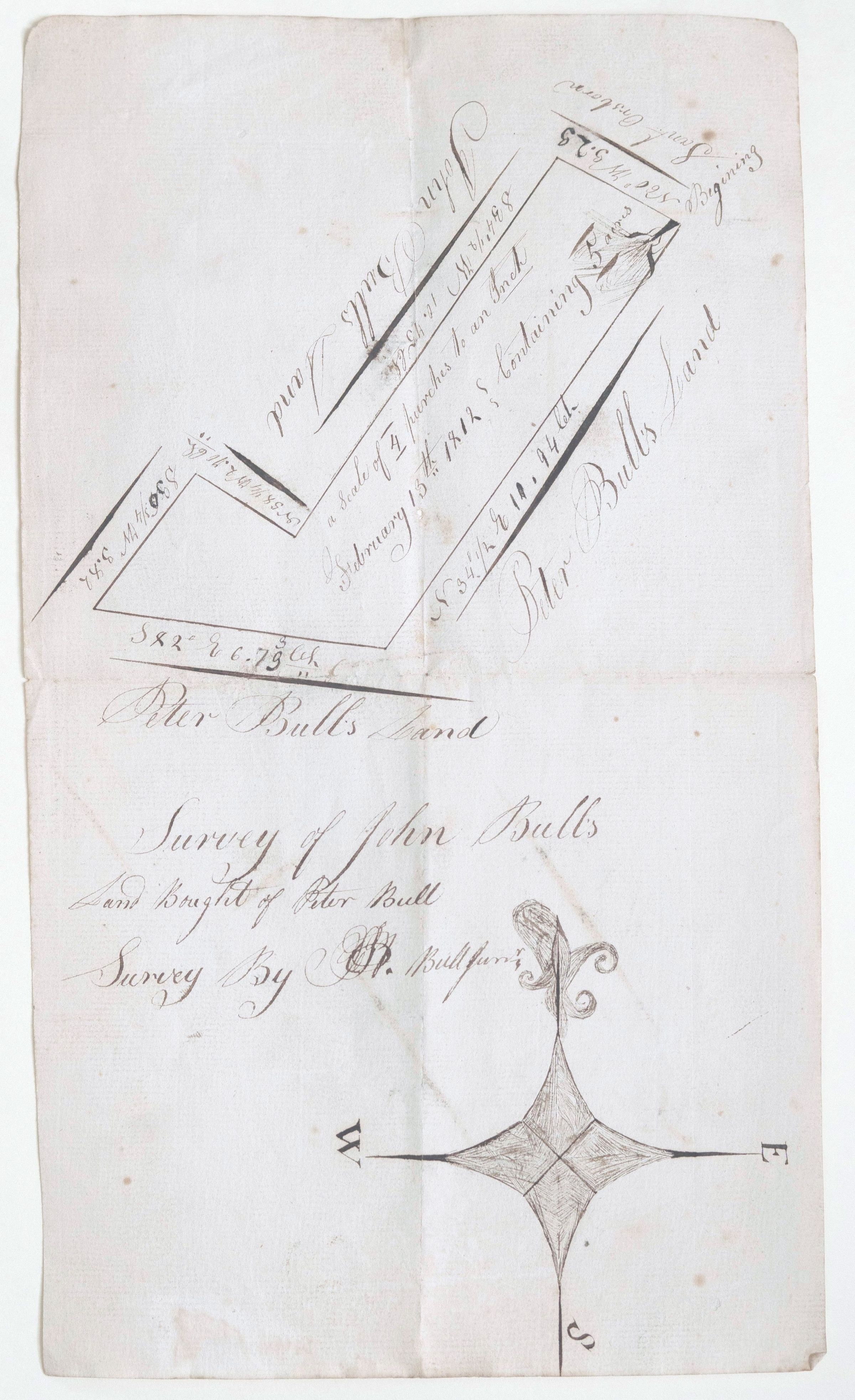
Map Peter Bull's land Feb 15, 1812Entry/Object ID
002607Tags
Richard G Bull, Peter BullScope and Content
This document is a hand-drawn land survey plat from the early 19th century, documenting a specific parcel of land transaction between members of the Bull family.
Based on the elegant cursive script and technical details, here is a breakdown of what this map represents:
General Overview
Subject: A survey of land belonging to John Bull, which he purchased from Peter Bull.
Date: February 13th, 1812.
Surveyor: The document is signed "Surveyed by R. Bull Junr." (likely Richard Bull Junior).
Key Details on the Map
The document uses the "metes and bounds" system, which was common in the United States and England during this period.
Property Boundaries: The map shows a multi-sided plot of land. The adjacent properties are labeled as "John Bull's Land" and "Peter Bull's Land," suggesting this was a subdivision of a larger family estate.
Survey Measurements: You can see specific bearings and distances along the lines, such as:
S 34° E 14.94 Ch (South 34 degrees East, 14.94 Chains)
N 52.5° W 5.23
Scale: The text indicates a scale of "4 perches to an Inch." (A perch is a unit of length equal to 16.5 feet).
Orientation: A decorative compass rose at the bottom indicates North (marked with a fleur-de-lis), South, East, and West.
Historical Context
The Bull family was a prominent settler family in areas like Orange County, New York (specifically the Greycourt/Goshen area). Given the style of the "Bull Stone House" records often found in historical societies, this map is likely a private family record of a land transfer, used to legally define property lines for a deed.
The mention of "Beginning at a Small Oak" (visible near the top right corner) is a classic hallmark of early American surveying, where physical landmarks served as the starting points for property measurements.