Name/Title
Deed from Haakmeester for Land at OtterkillEntry/Object ID
001974Tags
HaakmeesterScope and Content
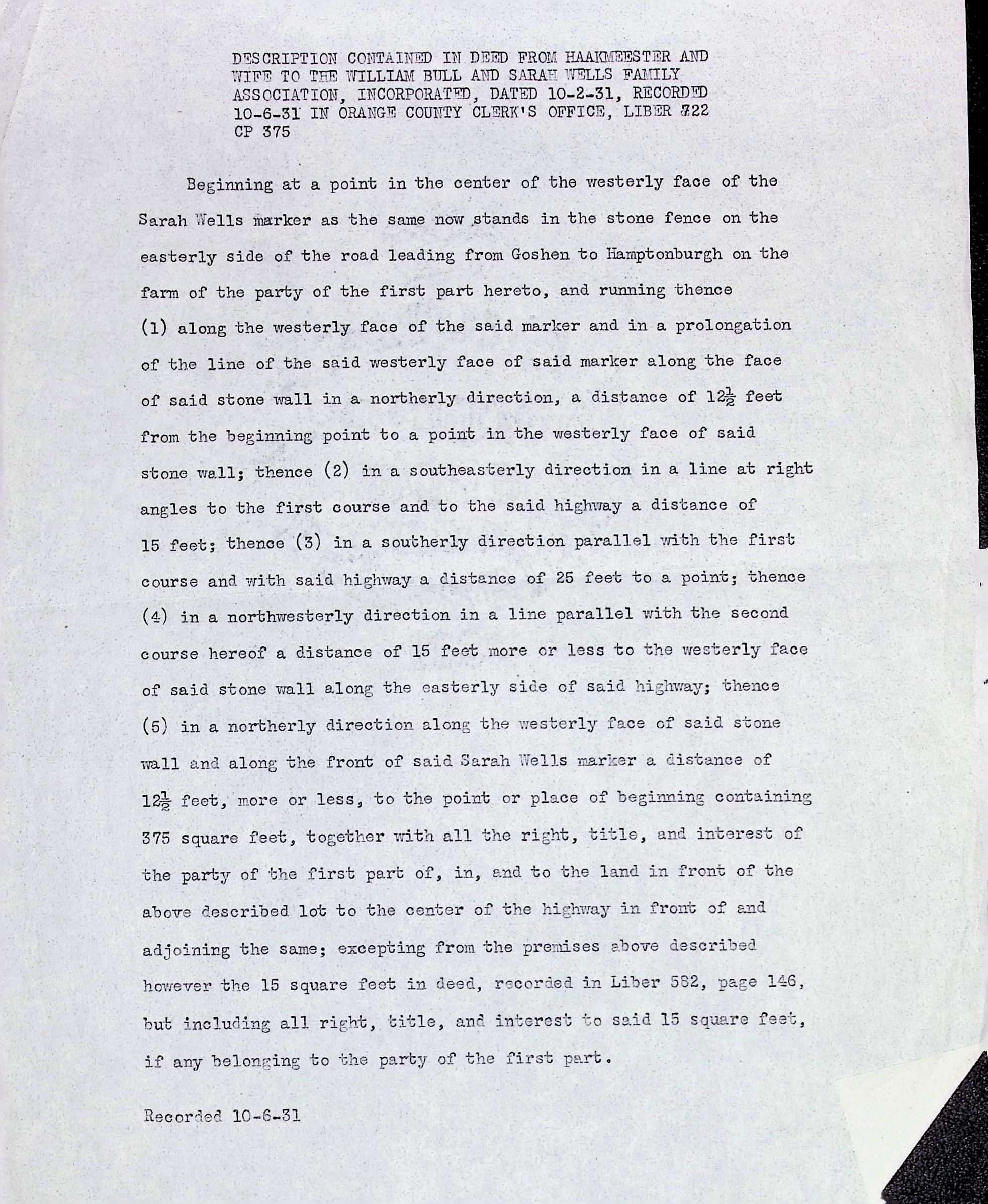
This is a typewritten transcription of a land description from a 1931 deed. The deed conveys a small, specific plot of land (approximately 375 square feet) from "Haakmeester and wife" to the William Bull and Sarah Wells Family Association.
The parcel is centered around the Sarah Wells marker, located within a stone fence along the road between Goshen and Hamptonburgh. The metes and bounds description traces a rectangular path starting from the center of the marker's face, moving north, southeast, south, and then back northwest to the stone wall, effectively securing the ground upon which the historical marker stands.
Transcription: 1974.jpg
DESCRIPTION CONTAINED IN DEED FROM HAAKMEESTER AND
WIFE TO THE WILLIAM BULL AND SARAH WELLS FAMILY
ASSOCIATION, INCORPORATED, DATED 10-2-31, RECORDED
10-6-31 IN ORANGE COUNTY CLERK'S OFFICE, LIBER 722
CP 375
Beginning at a point in the center of the westerly face of the
Sarah Wells marker as the same now stands in the stone fence on the
easterly side of the road leading from Goshen to Hamptonburgh on the
farm of the party of the first part hereto, and running thence
(1) along the westerly face of the said marker and in a prolongation
of the line of the said westerly face of said marker along the face
of said stone wall in a northerly direction, a distance of 12 1/2 feet
from the beginning point to a point in the westerly face of said
stone wall; thence (2) in a southeasterly direction in a line at right
angles to the first course and to the said highway a distance of
15 feet; thence (3) in a southerly direction parallel with the first
course and with said highway a distance of 25 feet to a point; thence
(4) in a northwesternly direction in a line parallel with the second
course hereof a distance of 15 feet more or less to the westerly face
of said stone wall along the easterly side of said highway; thence
(5) in a northerly direction along the westerly face of said stone
wall and along the front of said Sarah Wells marker a distance of
12 1/2 feet, more or less, to the point or place of beginning containing
375 square feet, together with all the right, title, and interest of
the party of the first part of, in, and to the land in front of the
above described lot to the center of the highway in front of and
adjoining the same; excepting from the premises above described
however the 15 square feet in deed, recorded in Liber 582, page 146,
but including all right, title, and interest to said 15 square feet,
if any belonging to the party of the first part.
Recorded 10-6-31