Name/Title
Wallkill Farm burying ground survey mapEntry/Object ID
002853Scope and Content
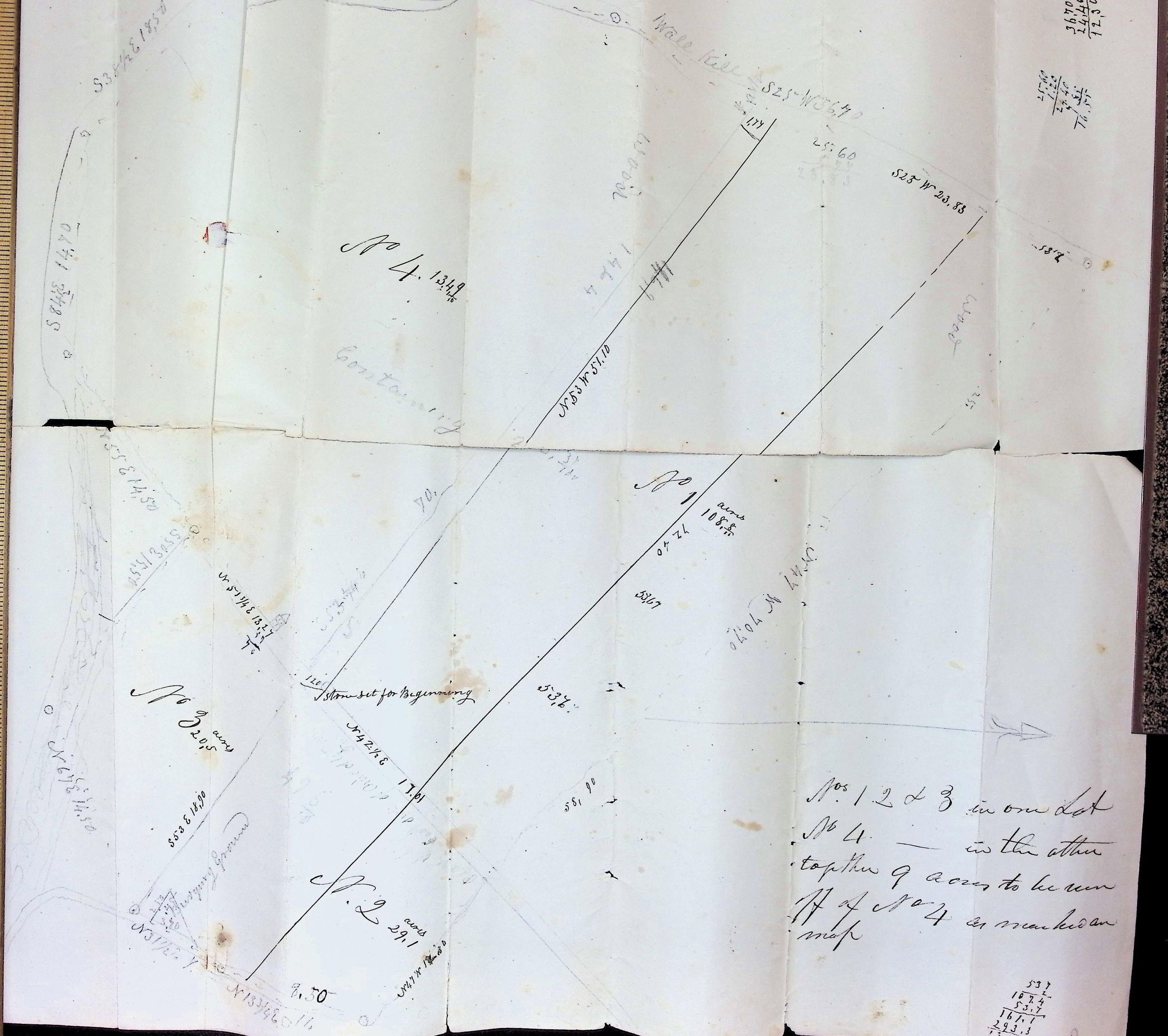
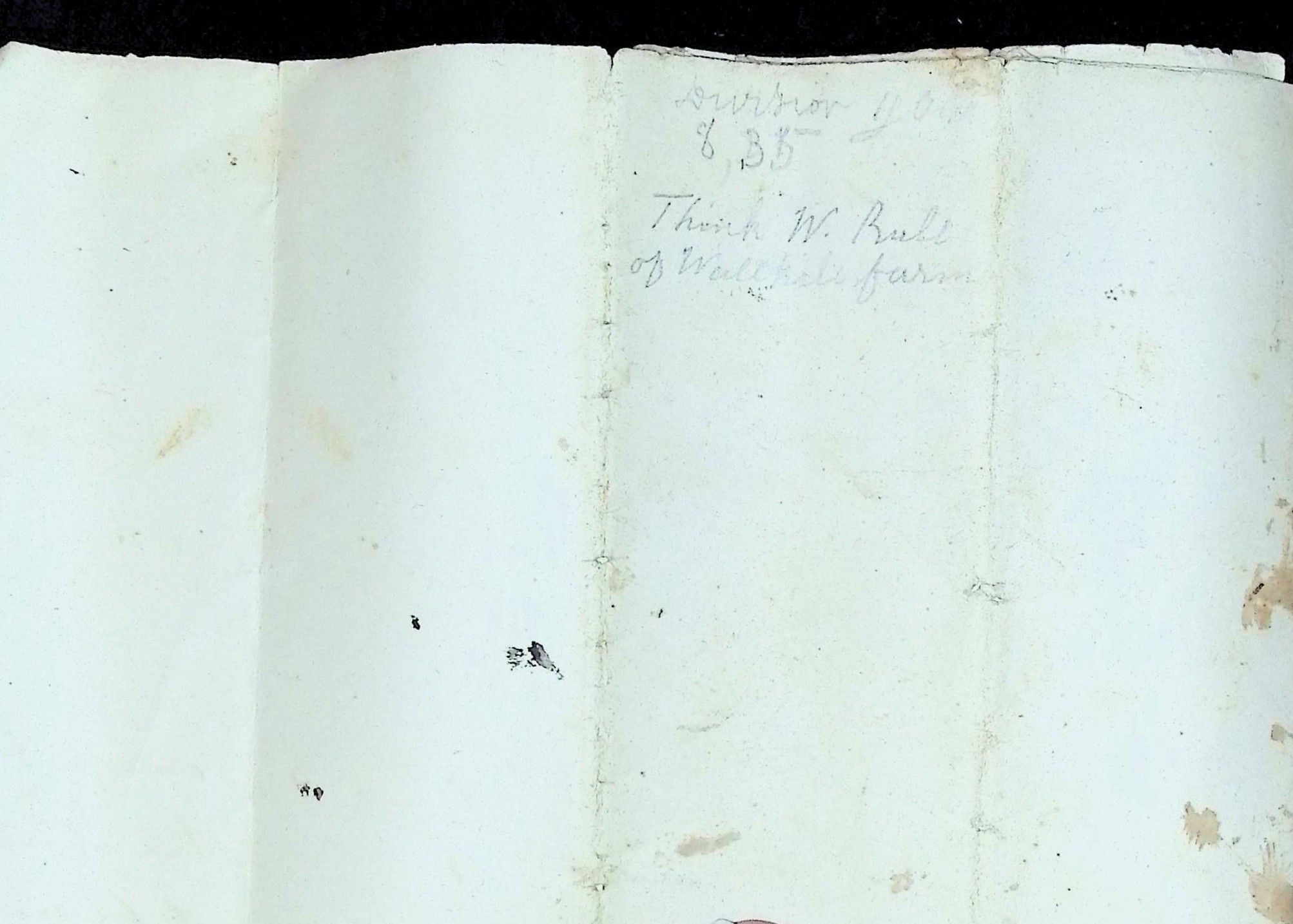
This set of documents consists of an original, hand-drawn land survey map and its outer endorsement cover, detailing the subdivision of a property known as the "Wallkill farm." Based on the geographical clues (the Wallkill River / "Wall kill") and the surname, this relates directly to the historic Bull family of Orange County, New York. The map outlines four distinct lots (No.1 No. 2 No. 3 and No. 4 along with their respective acreages, boundary lines, bearings, and chains. Notable features include a marked "Burying Ground" situated in the lower-left corner near Lot No. 3, a designated point labeled "stone set for Beginning," and a compass rose indicating North to the right. A concluding note clarifies how the lots are grouped together for a total allocation of 9 acres from a portion of Lot No. 4.