Name/Title
Panoramic Map of Willimantic, CT, 1882Entry/Object ID
2024.39.01Secondary Title
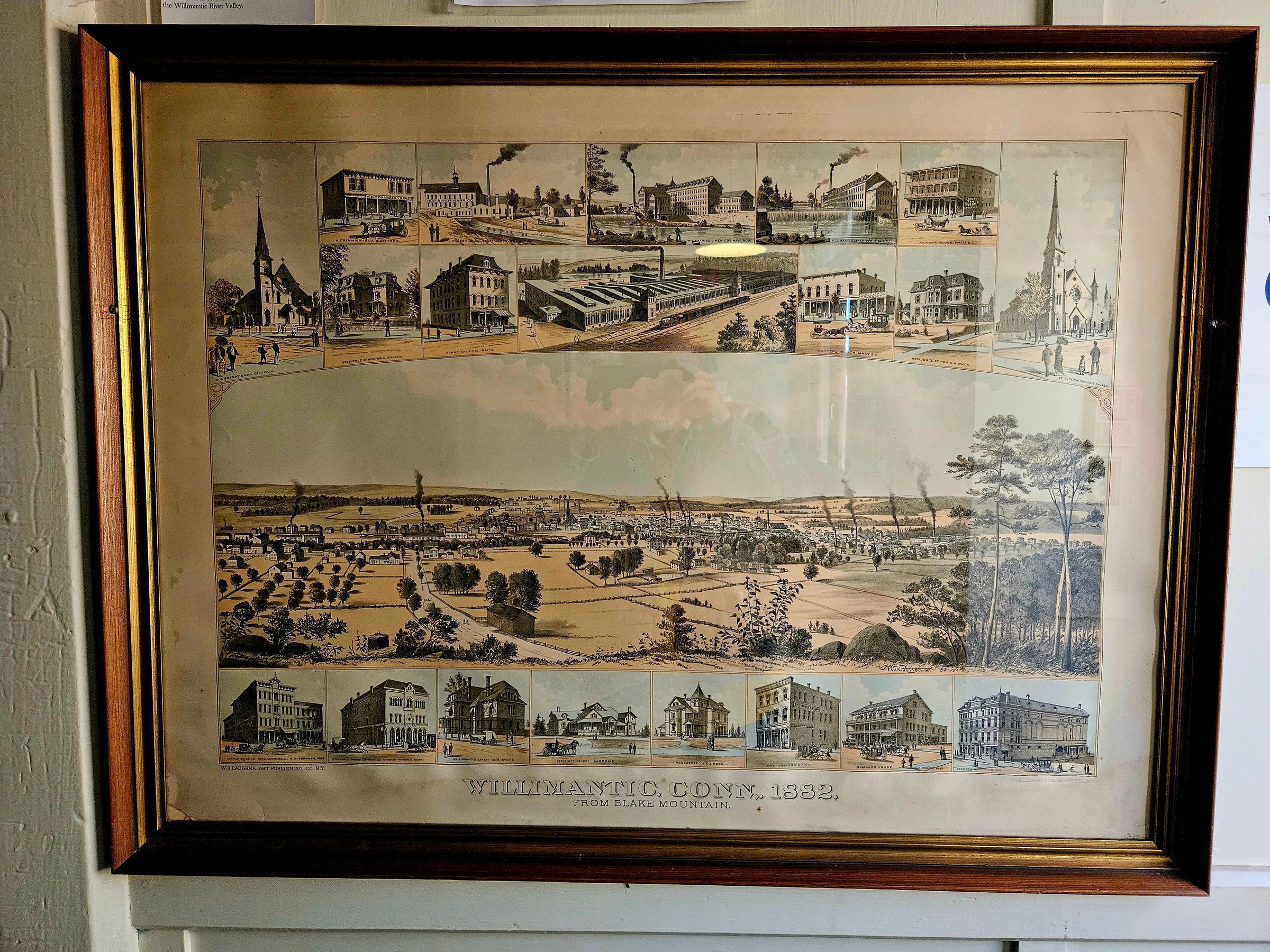
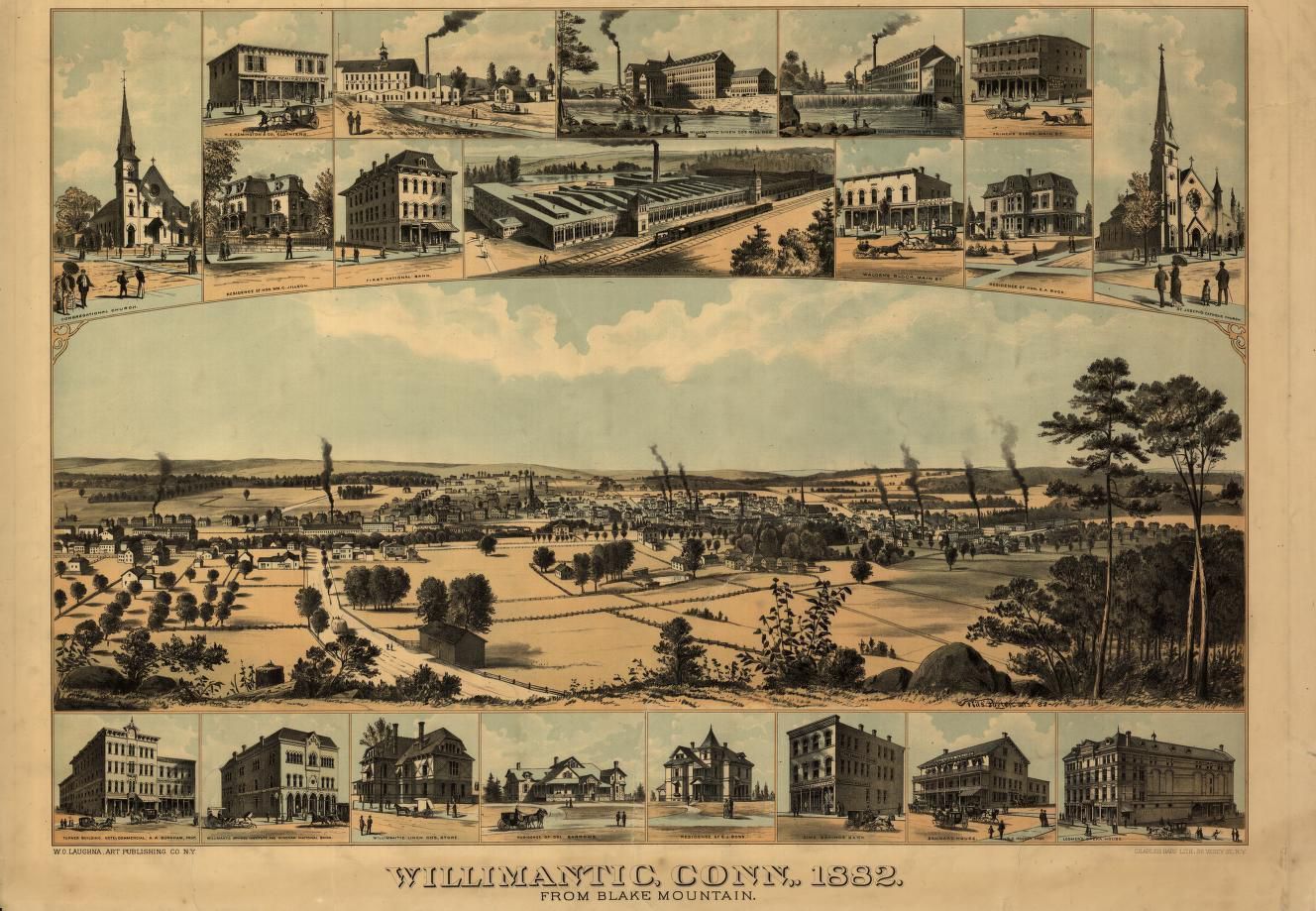
Willimantic, Conn., 1882, from Blake MountainDescription
Color engraving of Willimantic, Connecticut, looking north from Blake Mountain, now called Hosmer Mountain. The panoramic view of Willimantic is in the center of the engraving, surrounded on the top and bottom by close-up inset engravings of twenty churches, factories, stores, residences, and other buildings. Smoke rising from smokestacks indicate the locations of factories. The city is seen as stretching from west to east along the Willimantic river, surrounded by farmland and low, rolling, wooded hills. A hay wagon makes its way down Mountain Street towards the city. Fruit orchards are visible on the left. To see the Library of Congress's copy of this engraving, see https://www.loc.gov/item/98508605/.Context
Panoramics, also known as birds'-eye-view engravings, were popular in the late 1800s and early 1900s, and there was at least one printed for most American cities. At least three panoramics were published of Willimantic in different years, of which this was the most recent. Panoramics became obsolete in the 1920s, replaced by aerial photographs.Collection
General CollectionLexicon
Nomenclature 4.0
Nomenclature Secondary Object Term
MapNomenclature Primary Object Term
CartographNomenclature Sub-Class
Graphic DocumentsNomenclature Class
Documentary ObjectsNomenclature Category
Category 08: Communication ObjectsMap Details
Maker or Creator
Wils Porter del. ; Charles Hart Lith., N.Y.Place Published
* Untyped Place Published
N.Y. : W.O. Laughna, Art Publishing Co., 1882.Date Published
1882Publication Language
EnglishLocation
Location
Exhibit Room
Stairwell Gallery* Untyped Location
Main Museum BuildingCategory
ExhibitDate
November 10, 2024Condition
Overall Condition
GoodDate Examined
Nov 10, 2024Examined By
Eves, J.Provenance
Provenance Detail
Found ObjectCopyright
Type of License
NoneCopyright Holder
Public DomainCopyright Date
1882Created By
historian@millmuseum.orgCreate Date
November 9, 2024Updated By
historian@millmuseum.orgUpdate Date
November 10, 2024