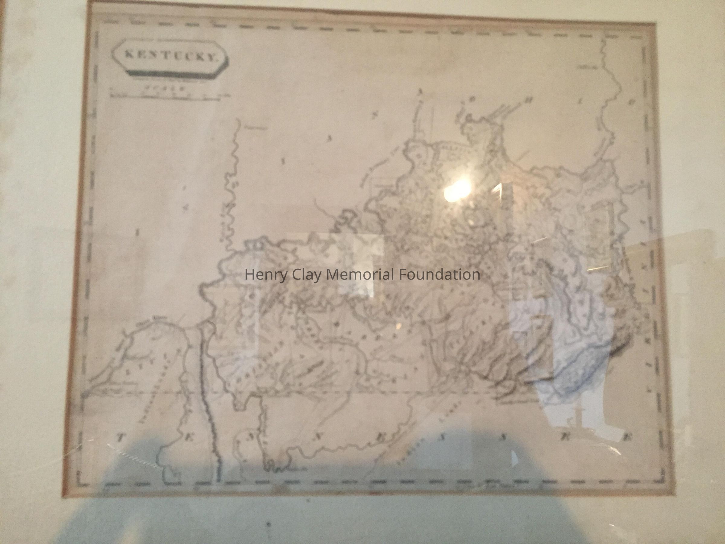
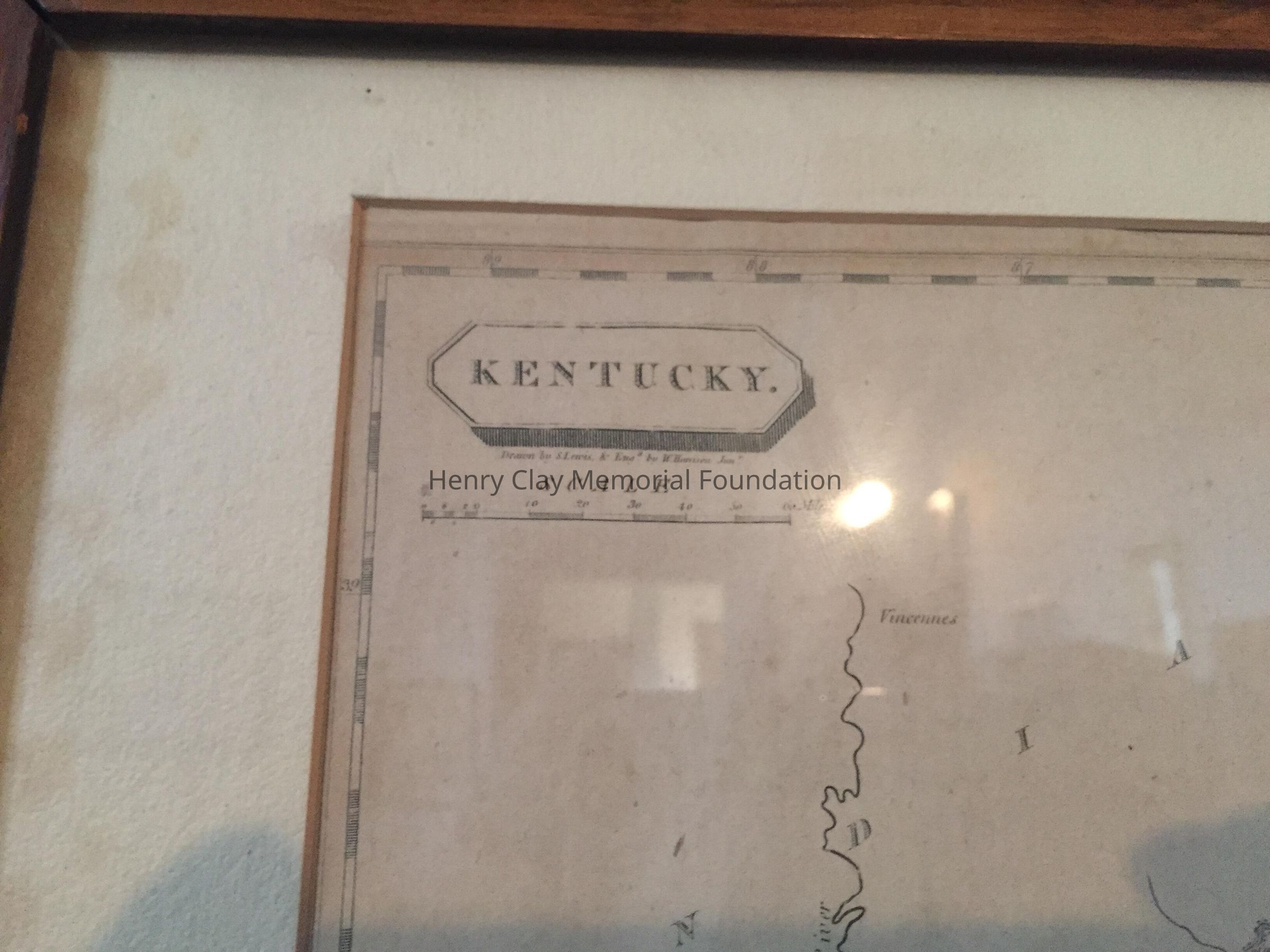
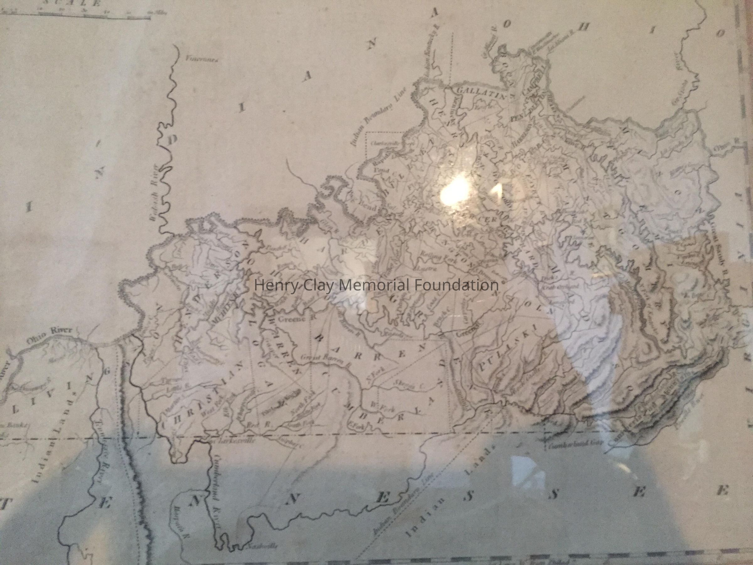
Name/Title
MapEntry/Object ID
1997.123Description
Topographic map of Kentucky, early county designations, Drawn by S. Lewis & England by W. Harrison Jun'n. Card on back: "Map of Kentucky / Published by Arrowsmith & Bros. / Philadelphia, Pa. 1804."Dimensions
Height
8 inWidth
9-3/4 inDimension Notes
Frame: 12.5" x 15.5"