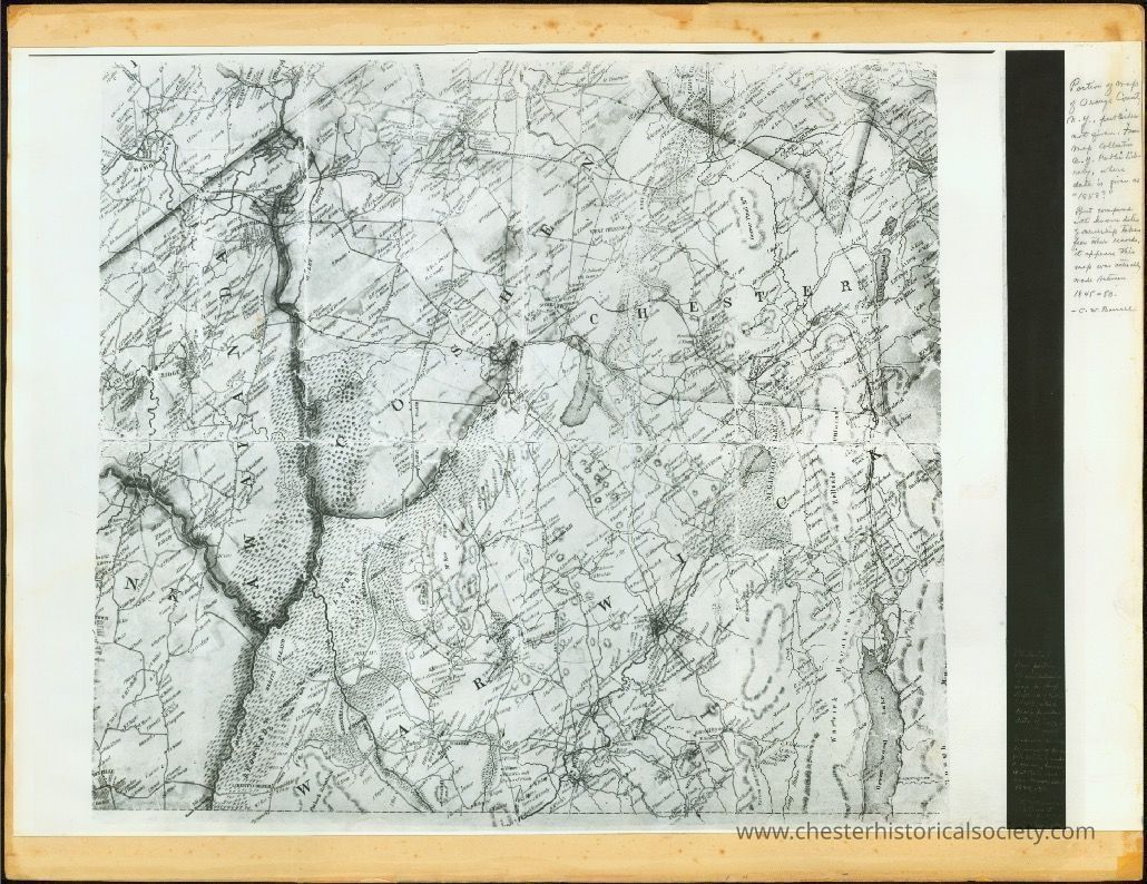
Portion of Map of Orange County, N.Y.
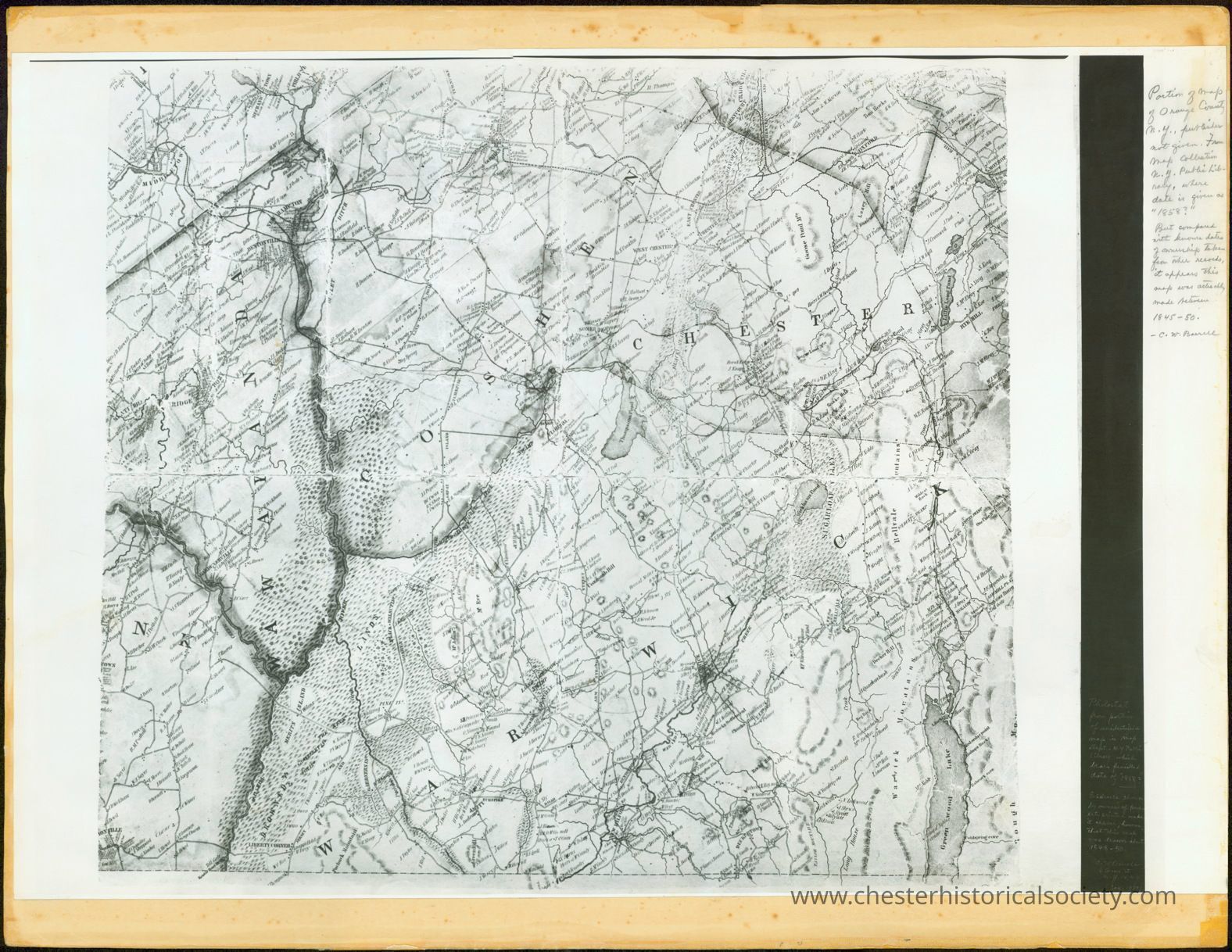
Portion of Map of Orange County, N.Y.
The image shows a photostat mounted on heavy card stock of a detailed, antique map with intricate geographical and boundary markings labeled "Chester."
Name/Title
Portion of Map of Orange County, N.Y.Entry/Object ID
chs-011340Description
Photostat mounted on heavy card stock. [Handwritten note in right margin] Portion of Map of Orange County, N.Y., publisher not given. From map collection N. Y. Public library, where date is given as "1858?" But compared with known dates of ownership taken from other records, it appears this map was actually made between 1845–50. – C. W. Barrell.Category
Orange County
Other Locales