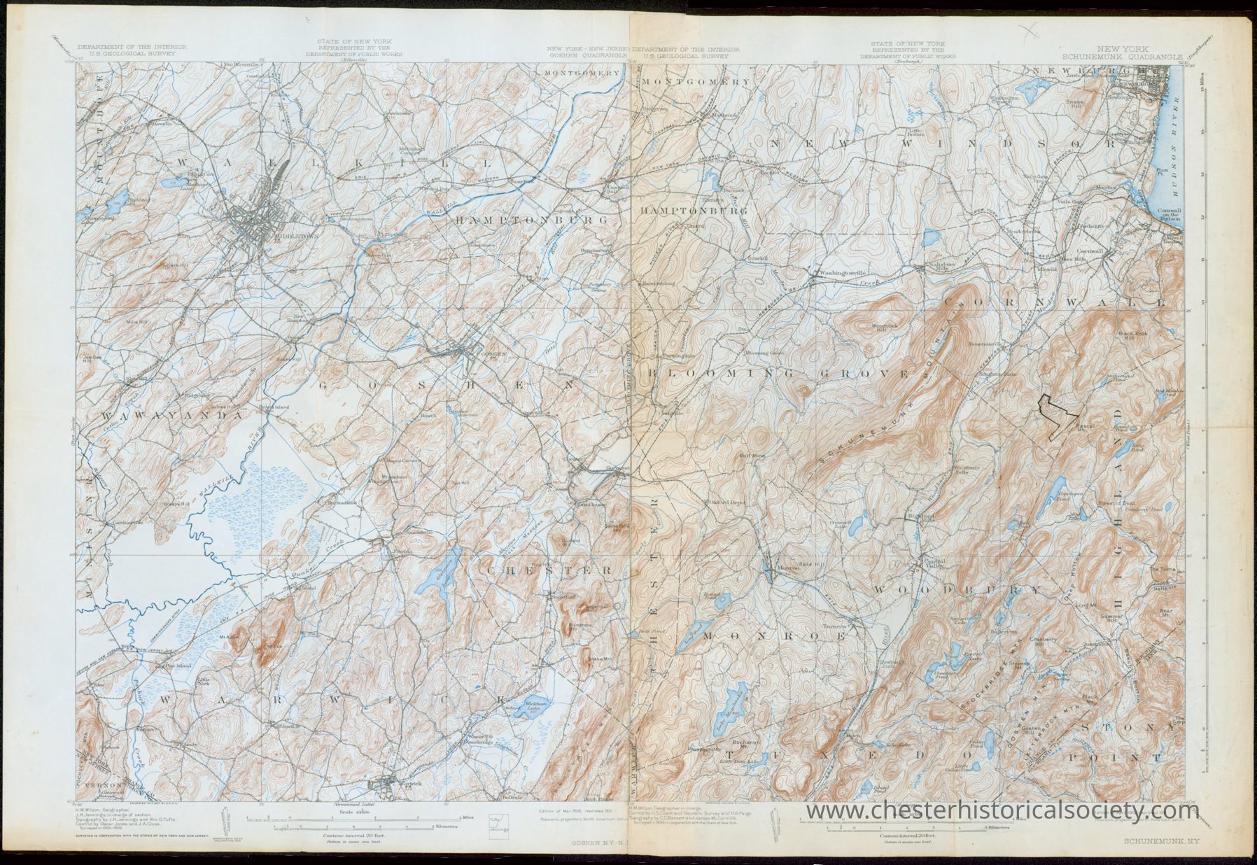
Combined Goshen-Schunemunk, NY 15' USGS topographic maps

1931 Combined Goshen-Schunemunk, NY 15' USGS topographic map: The image shows a detailed 1931 topographical map of the New York, Goshen & Schunemunk Quadrangles depicting various geographical features.
1931 Combined Goshen-Schunemunk, NY 15' USGS topographic map

The image shows a detailed 1931 topographical map of the New York, Goshen & Schunemunk Quadrangles depicting various geographical features.

Name/Title

Combined Goshen-Schunemunk, NY 15' USGS topographic maps

Entry/Object ID

chs-011868

Description

Combined Goshen-Schunemunk, NY 15' USGS topographic map A topographic map of Goshen, Chester, Warwick, Wallkill, Hamptonburg, Blooming Grove, Wawayanda, and Monroe (1931), based on 1899 survey. Hand-drawn polygon near Rascal Mt. in the Town of Cornwall.

Collection

W. S. Durland

Category

Maps

Acquisition

Accession

W. S. Durland

Notes

10/2/2008 Gift from W. S. Durland

Map Details

Area or Region

* Untyped Area or Region

Schunemunk quadrangle

Publisher

U.S. Geological Survey

Date Published

1931

Transcription

Schunemunk, NY 15' USGS topographic map A topographic map of Goshen, Chester, Warwick,Wallkill,Hamptonburg,Blooming Grove, Wawayanda, and Monroe (1931), based on 1899 survey.

Dimensions

Height

75.5 cm

Width

50.6 cm

Create Date

October 22, 2024

Update Date

December 29, 2024