Name/Title
"Contour Map of the Sansinena Property, Los Angeles County, California"Entry/Object ID
2007.186.1.5Description
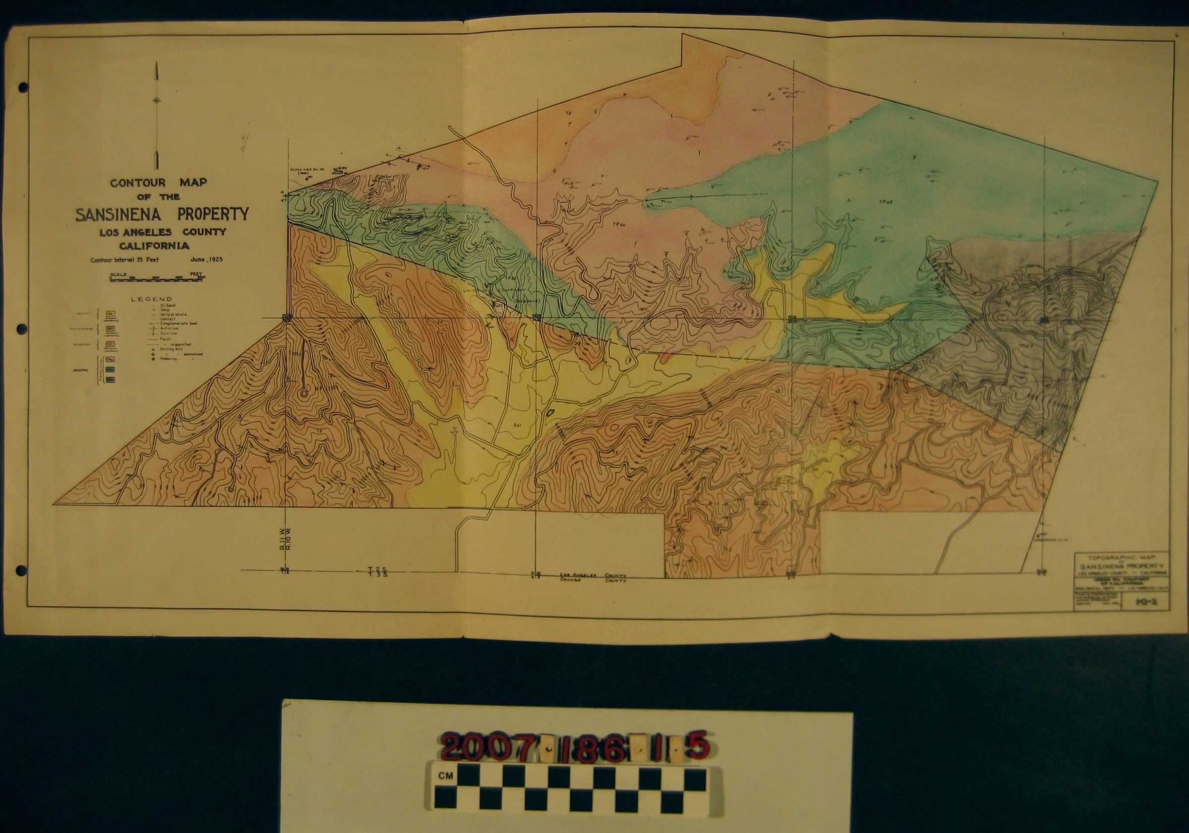
"Contour Map of the Sansinena Property, Los Angeles County, California," Union Oil Company of California, June 1925. The map has colored areas certain geological types and has delineations for roads, oil well sites, operating companies in the area, sea level markings, and geological conditions, such as faults. There are also county and township boundaries for the area, which mainly falls within the Puente Hills and, specifically, the modern communities of La Habra Heights, Hacienda Heights, and Rowland Heights. There are also three holes punched on the left side. With solds, creases, small tears, and some soiling, the overall condition is good.Lexicon
Search Terms
Union Oil Company of California, Oil fields--California--Los Angeles County, Oil wells--California--Los Angeles County, Petroleum prospecting--California--Los Angeles County