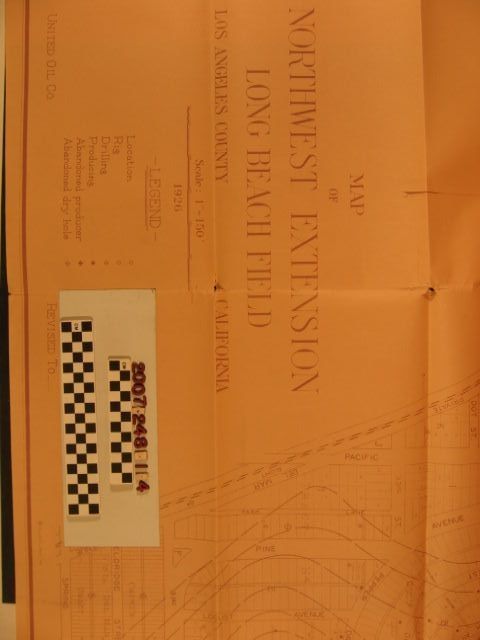
Name/Title
"Map of Northwest Extension of Long Beach Field"Entry/Object ID
2007.248.1.4Description
"Map of Northwest Extension of Long Beach Field," United Oil Company, 1926. The area covered is in the Bixby Knolls area of the city east of the Pacific Electric Railway right-of-way, west of Atlantic Boulevard, north of Spring Street and south of Virginia Country Club. There are indications of well sites of all stages. Streets, tract blocks and lots, the rail line, city boundaries and other features are also noted. With some large torn areas, folds, edge tears, and creases, the condition is poor.Lexicon
Search Terms
Associated Oil Company. Geological Department, Baldwin Hills oil field