Name/Title
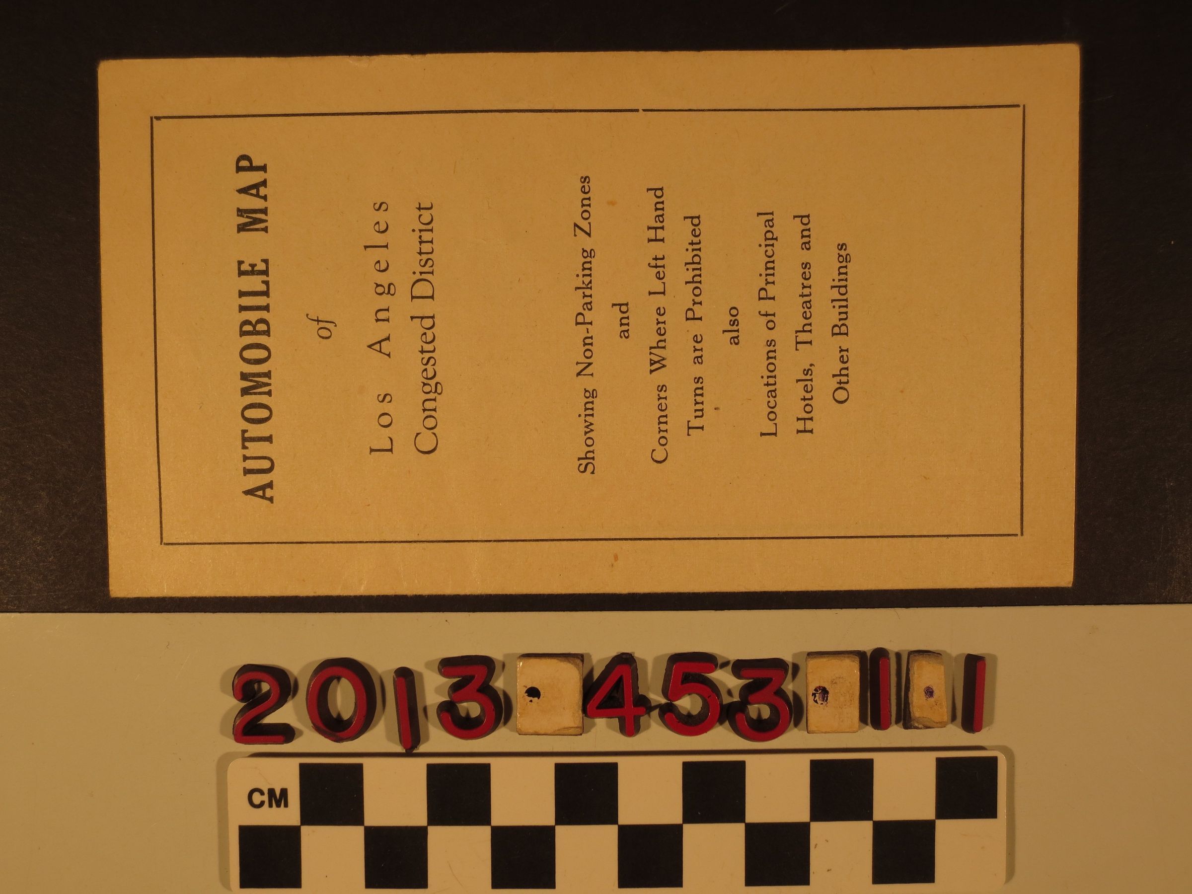
"Automobile Map of Los Angeles Congested District"Entry/Object ID
2013.453.1.1Description
"Automobile Map of Los Angeles Congested District," 1921. The item, issued in conjunction with the Elks national convention held in Los Angeles, contains a map showing the "congested district" between 1st and 9th streets north to south and Figueroa Street to Los Angeles Street west to east. Black circles show where left hand turns were allowed and a black line, basically the entire map, indicates where the 2-hour parking limit was enforced. At the left are lists of hotels and theaters. Other panels welcome the Elks, including an ad for the Grand Central Garage at Grand and Fifth. With some soiling and creases, the overall condition is good.Lexicon
Search Terms
Cattle--Marking--Los Angeles County (Calif.), Cattle brands--Los Angeles County (Calif.)