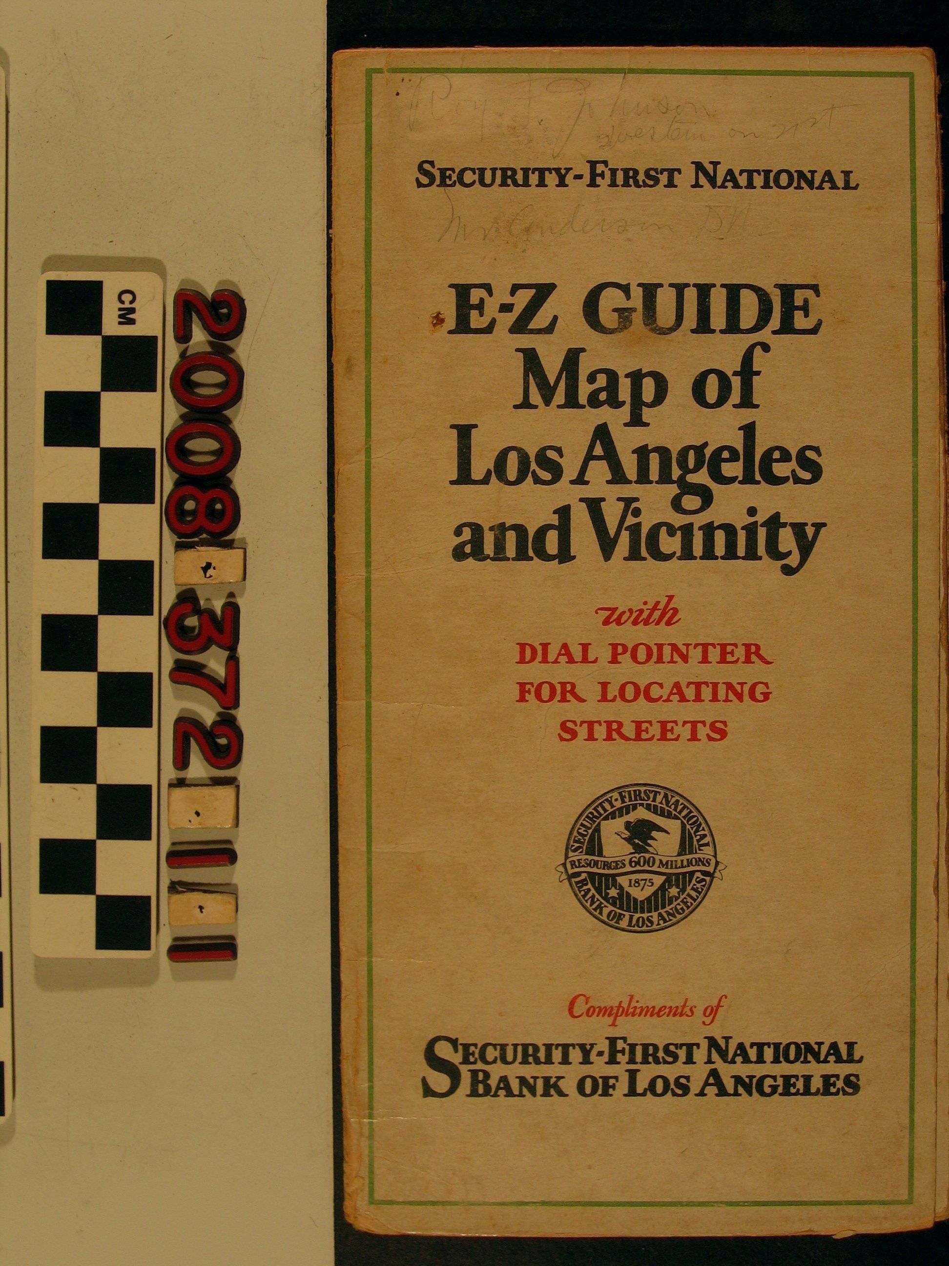
Name/Title
"E-Z Guide Map of Los Angeles and Vicinity"Entry/Object ID
2008.372.1.1Description
"E-Z Guide Map of Los Angeles and Vicinity," issued by Security-First National Bank of Los Angeles, ca. 1920s. When opened, the item shows the Los Angeles area from Inglewood and Hollywood on the west to South Pasadena and Maywood on the east and from Griffith Park and Glendale on the north to Huntington Park and South Los Angeles on the south. Affixed to the center is a transparent green pointer for finding streets according to the index which is partly on the map side and mainly on the reverse along with the title panel and a panel showing the many branches of the bank. With stains, much soiling, heavy wear at folds and edge rubbing, the condition is fair..Lexicon
Search Terms
California. Department of Public Health. Bureau of Child Hygiene, United States. Department of Labor. Children's Bureau.