Name/Title

Map

Entry/Object ID

2015.023.049a

Description

Donated by Island Conservation District Taken in 1940s? Adjoins 2015.023.048 and 2015.023.050 16P55M24-IV179 
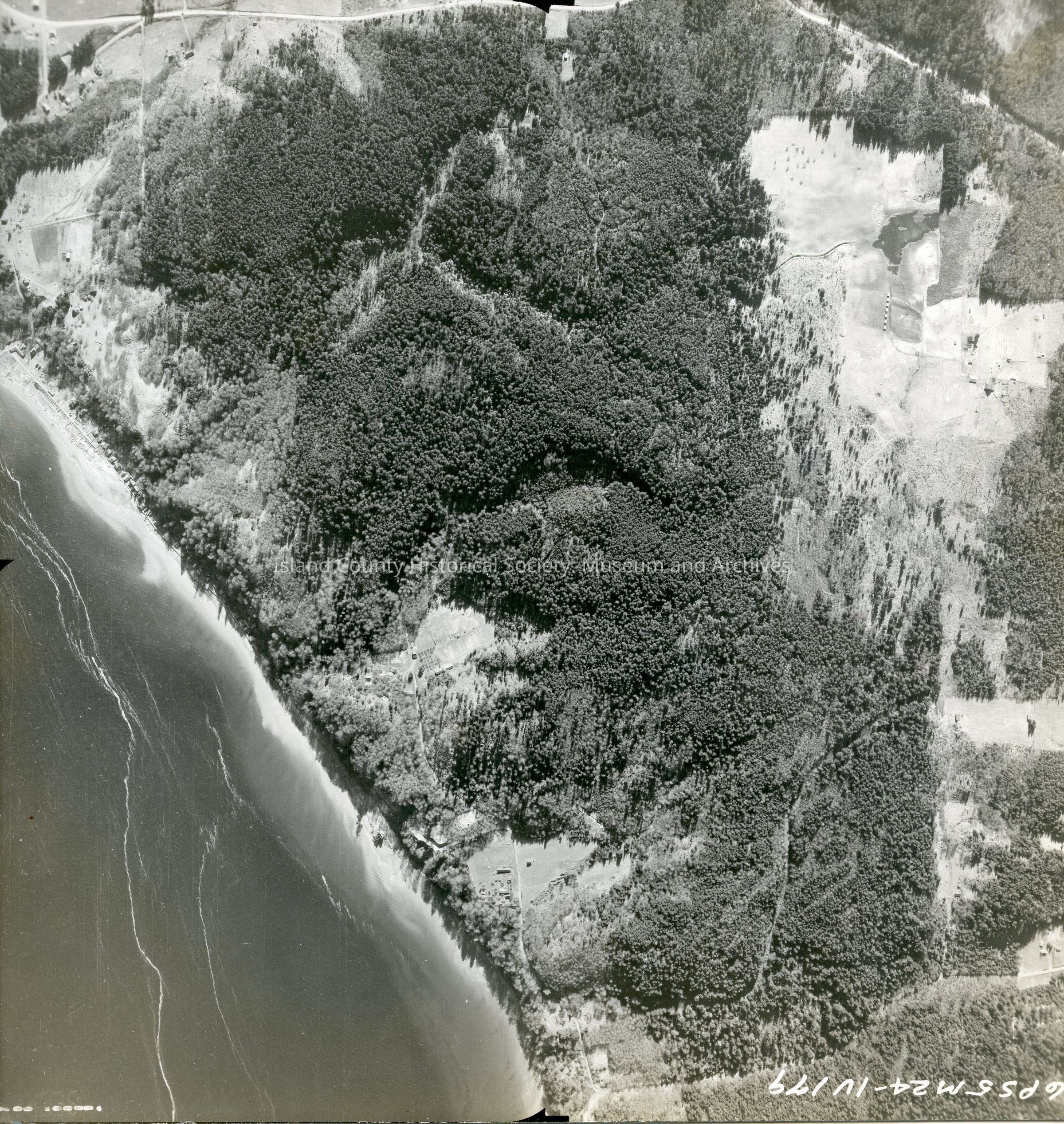
Shore of Whidbey Island north of Clinton. Majority of photo is land. A road along the southern edge of the photo. Back states "Copied Dec. 20 195(8?) See GIS for digital copies.

Lexicon

Nomenclature 4.0

Nomenclature Secondary Object Term

Map

Nomenclature Primary Object Term

Cartograph

Nomenclature Sub-Class

Graphic Documents

Nomenclature Class

Documentary Objects

Nomenclature Category

Category 08: Communication Objects

Map Details

Area or Region

Region

Whidbey Island, Cascades and Plateau

State/Province

Washington

Continent

North America

County

Island County

Date Published

Jun 12, 2015

Medium

Photographic Paper

Relationships

Related Publications

Notes

RG 4 Maps